4D / 3N
24% OFF
Best Selling Alleppey-Munnar Kerala Weekend Tour
- Hotel
- Meals
- Sightseeing
- Houseboat
- Cab Transfer
₹17,132
₹13,020 /pp
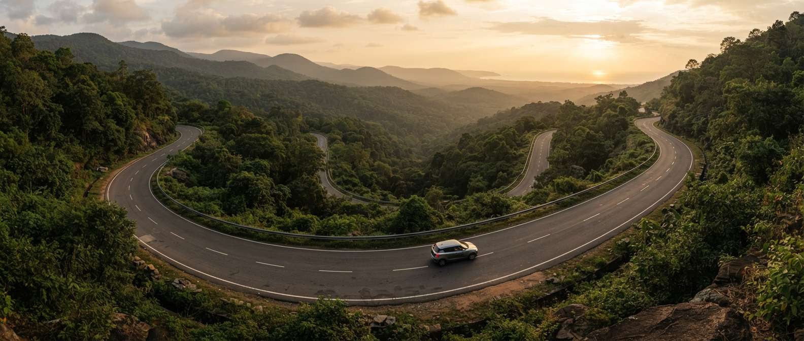


A Mysore to Kerala road trip runs about 390 km to Kochi, heading south on NH766 through Gundlupet and the Bandipur forest corridor into Wayanad before the coastal NH66 carries you down to the backwaters. The Kerala border in Wayanad is just 85 to 100 km from Mysore, so the first state line arrives in barely two hours, but the full drive to central Kerala realistically takes 10 to 12 hours and is best split across two days. Travel between November and February for cool, dry weather, and time the Bandipur crossing for daylight — the reserve closes to night traffic from 9 PM to 6 AM. Here is the route, the stops and the practical detail.
Route, distance, best time and the must-visit stops for 2026
Best Time
November - February
Select Package Type


5 Days & 4 Nights
₹24,604 /@pp
GET FREE QUOTEThe reason online calculators throw up wildly different numbers (121 km here, 219 km there, 387 km somewhere else) is that each one measures to a different point in Kerala. Here is a clean, endpoint-by-endpoint breakdown by road, so you can match the distance to your actual destination.
| Kerala destination | Road distance | Drive time | Main highways |
| Kerala border (Muthanga, via Bandipur) | ~90 km | ~2.5 hrs | NH766 |
| Sultan Bathery (Wayanad) | ~110 km | ~3 hrs | NH766 |
| Kalpetta (Wayanad district HQ) | ~130 km | ~3.5 hrs | NH766 |
| Kozhikode / Calicut (coast) | ~215 km | ~5 hrs | NH766 |
| Thrissur | ~310 km | ~7 hrs | NH766 to NH544 |
| Kochi / Ernakulam | ~390 km | ~8-9 hrs | NH766 to NH544 |
| Thiruvananthapuram | ~590 km | ~12 hrs | via NH66 (coast) |
If someone just says “Mysore to Kerala” with no city attached, the honest answer is the one most people mean: about 390 km to Kochi. But if your plan is a quick wildlife and hills getaway, you are really looking at the 90 to 130 km Bandipur-Wayanad stretch, and that changes the whole day.
Most people make this trip by car, and for good reason: the route is scenic, and there is no fast direct train or flight that beats the drive to the northern half of Kerala. Here is how the four modes compare for the Mysore to Kochi run.
| Mode | Distance / route | Time | Notes |
| Car (self-drive / taxi) | ~390 km via NH766 & NH544 | 8-9 hrs | Most direct and flexible; best for the road trip. |
| Bus | ~390-420 km, KSRTC & private | 9-11 hrs | Daily services toward Kozhikode, Thrissur, Kochi. Check current fares on redBus or KSRTC. |
| Train | via Palakkad junction | 10-13 hrs | No fast direct line; most routes change at Palakkad or Coimbatore. Check the latest timings on IRCTC. |
| Flight | fly Bengaluru/Kannur to Kochi | ~1 hr in air | Mysore has no big airport; fly from Bengaluru, or drive to Kannur/Kozhikode for a short hop. |
For anywhere in north Kerala (Wayanad, Kozhikode, Kannur, Thrissur) the car wins outright. Only if you are pushing all the way to Kochi or the far south does flying from Bengaluru start to make sense on time, though you lose the best part of the journey.
Search the phrase and you will see numbers from 121 km to over 500 km. None of them is wrong; they are just answering different questions. Three things explain the spread.
First, straight-line versus road distance. As the crow flies, a central point in Kerala is only around 165 km from Mysore. By road you have to wind through the Western Ghats, which pushes the real driving distance to Kochi up to about 390 km.
Second, which point in Kerala. Calculators that show ~90 to 121 km are measuring to the nearest Kerala border past Bandipur. Ones showing ~390 km mean Kochi. Anything near 590 km is measuring to Thiruvananthapuram in the deep south. Same start, very different finish.
Third, the route you pick. The shorter way runs through Wayanad on NH766. The longer coastal option via Kannur and Thalassery adds 100 km or more but trades hairpin bends for flatter, faster highway. The midway point of the Kochi drive falls around the Wayanad-Kozhikode stretch, which is exactly where a good overnight halt sits.
Coming the other way, the Kerala to Mysore distance is the same on paper, about 390 km from Kochi and roughly 8-9 hours, but the drive feels different. You climb from the Kerala plains up into the Bandipur ghats rather than descending them, so the tiring hairpin section lands in the middle of your day instead of the start. Plan to clear the Wayanad ghat road and the Bandipur forest stretch well before dusk, because the same 9 pm to 6 am night-traffic ban applies in both directions. Many travellers break the return in Wayanad or Kozhikode and finish the Mysore leg the next morning.
The short version: go in winter. From November to February the air is cool, the ghats are clear, and the forest stretches through Bandipur and Wayanad are at their green best after the rains have passed. Daytime driving is easy and the hill roads stay dry.
The monsoon (June to September) turns the same route dramatically green, but it is the one window to be cautious about. The Wayanad ghat hairpins get slick, visibility drops in the forest, and landslips occasionally close sections of NH766. If you travel then, drive only in daylight and keep a buffer day. March to May is hot on the plains but still fine for the hills, and the crowds thin out.
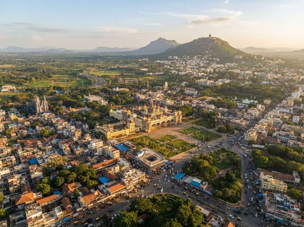
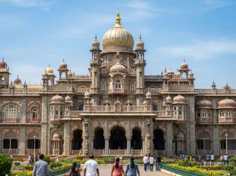
The classic route leaves Mysore on NH766, crosses into Kerala through Bandipur and Wayanad, then drops to the coast and down to Kochi. Here are the stops worth planning around, roughly in the order you meet them. Even a one-night halt turns the drive from an endurance run into a proper trip.
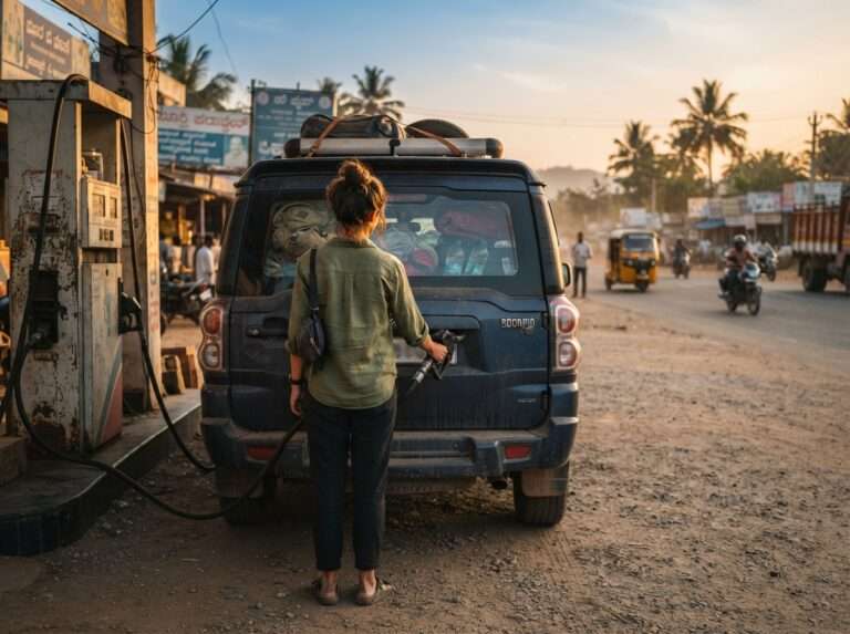
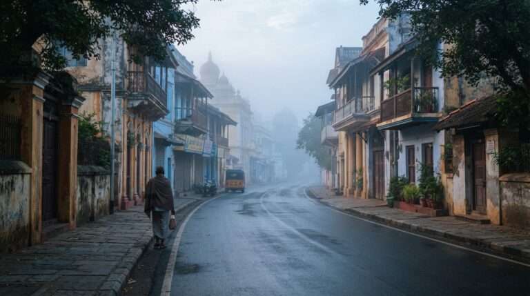
Fuel up, check your tyres for the ghat hairpins ahead, and leave early. Getting out of the city before 7 am means you clear the Bandipur forest zone in good light and beat the tourist buses to Wayanad.


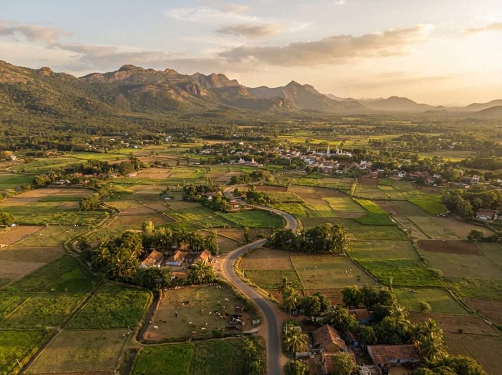
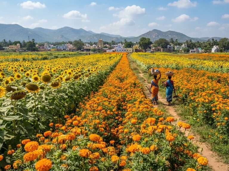


About 60 km out, this small Karnataka town is the last proper stop for breakfast, coffee and fuel before the forest. In season the marigold and sunflower fields around it are worth a five-minute photo halt.


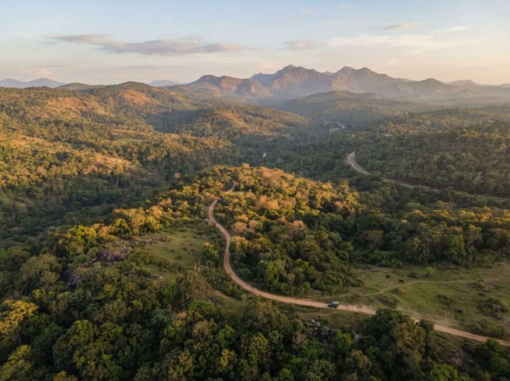
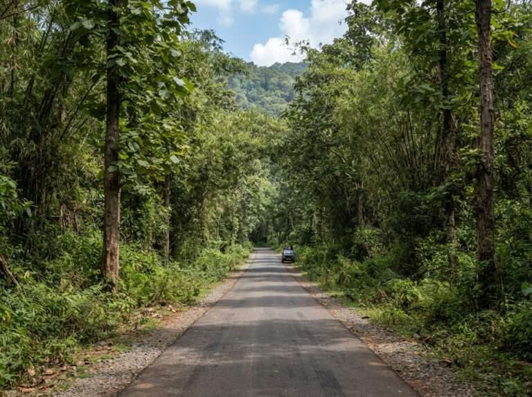
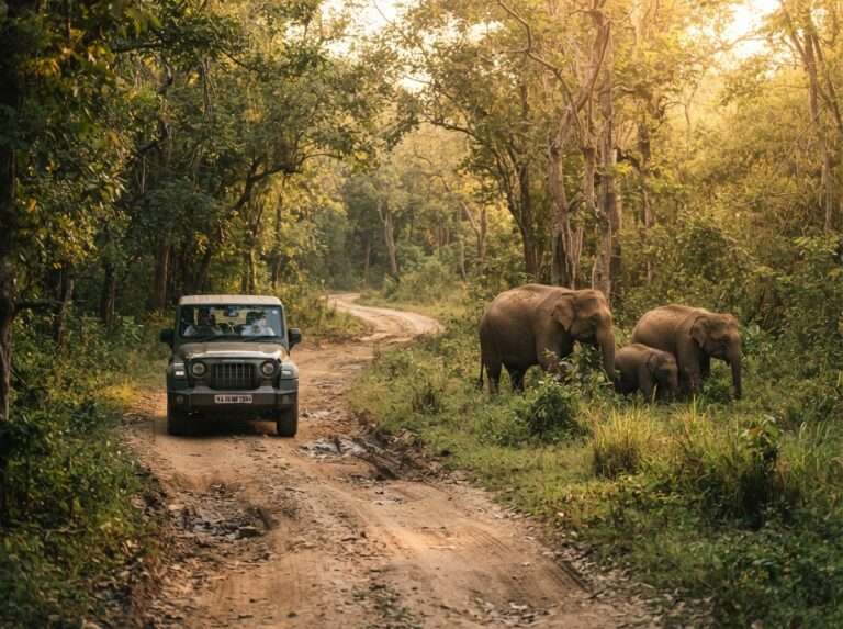
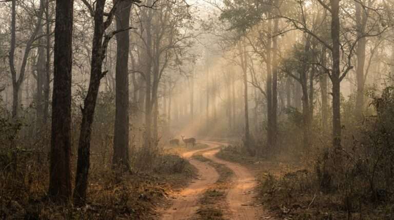
The road cuts straight through this tiger reserve, so you are driving through a national park whether you stop or not. Keep to the speed limit, do not stop for animals on the carriageway, and remember the night ban: no through-traffic between 9 pm and 6 am. Early morning gives you the best chance of spotting elephant, gaur and spotted deer from the car.
| Known for | Jeep safaris; tigers, elephants and gaurs |
| Night-traffic ban | 9 PM to 6 AM on NH766 (two-wheelers from 6 PM) |


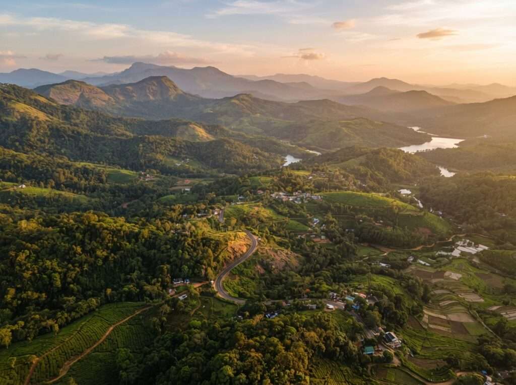
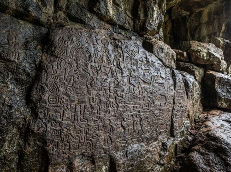
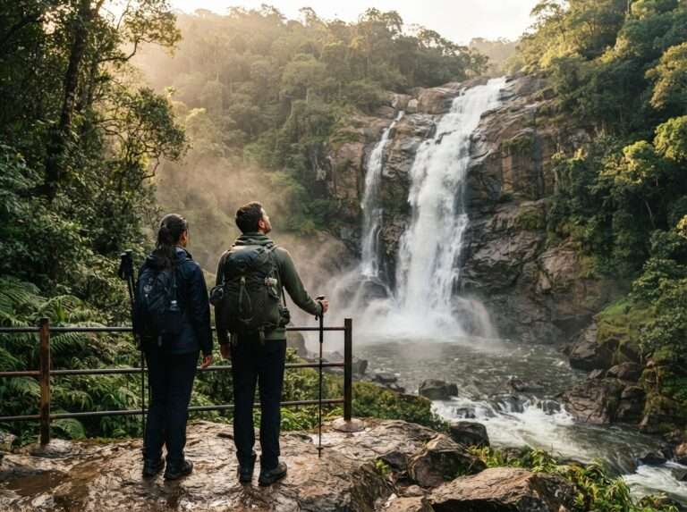
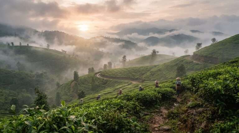
The first big Kerala stop, roughly 110 to 130 km in. This is where most people split the drive. Base yourself in Kalpetta or Sultan Bathery and give it a day: the Edakkal Caves with their prehistoric carvings, the Tholpetty and Muthanga wildlife stretches, and the Thusharagiri and Soochipara waterfalls after the rains.
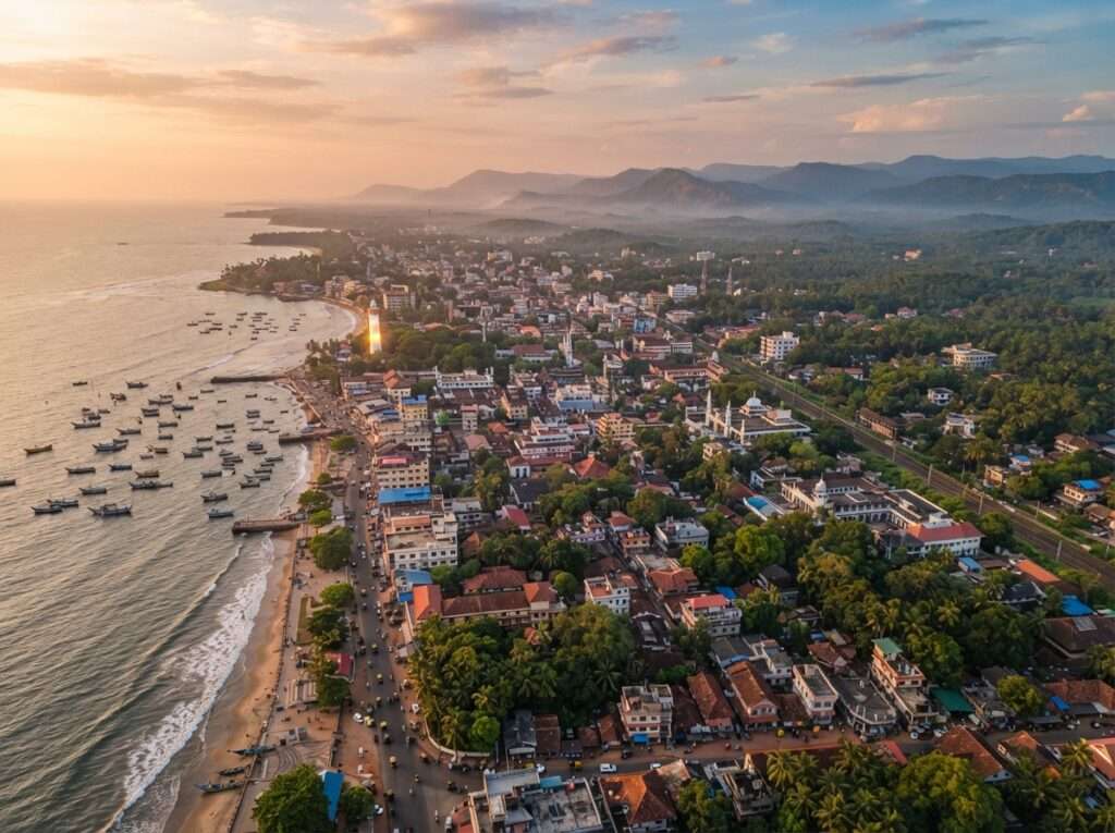
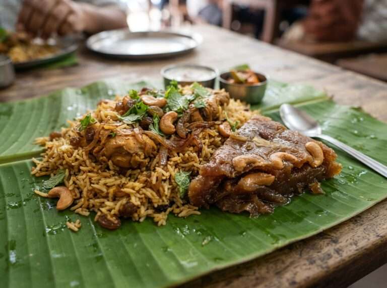
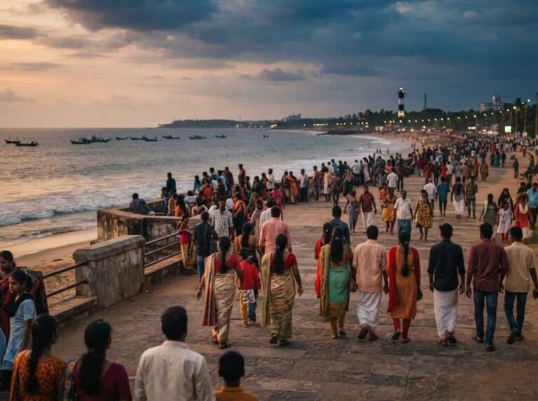
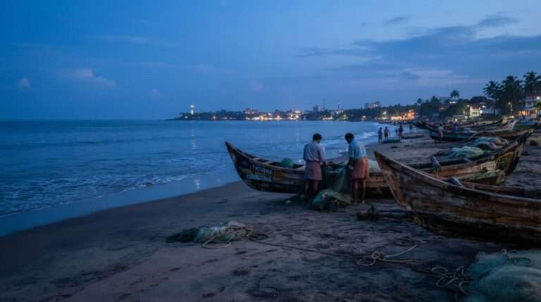
Around 215 km from Mysore, Kozhikode is the natural coastal anchor. Walk the long sweep of the beach at dusk, and eat properly here: the Malabar biryani, banana-leaf meals and the sweet, flaky Kozhikode halwa are reason enough to stop for a night.
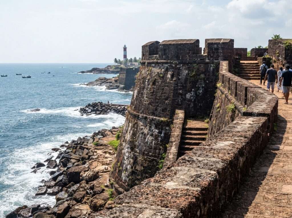
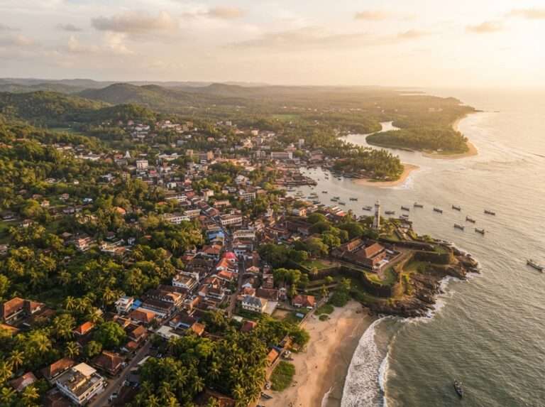
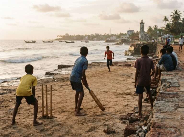
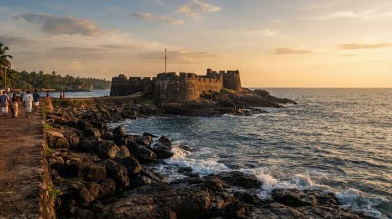
A short hop north of Kozhikode, Thalassery earns a detour for food and history alike, the old fort, the cricket-mad seafront, and a biryani tradition locals will argue is the best in Kerala. Slot it in if you are taking the coastal route.
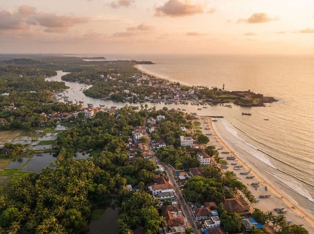

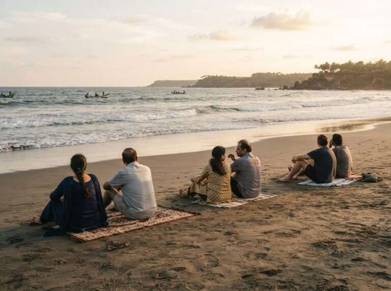
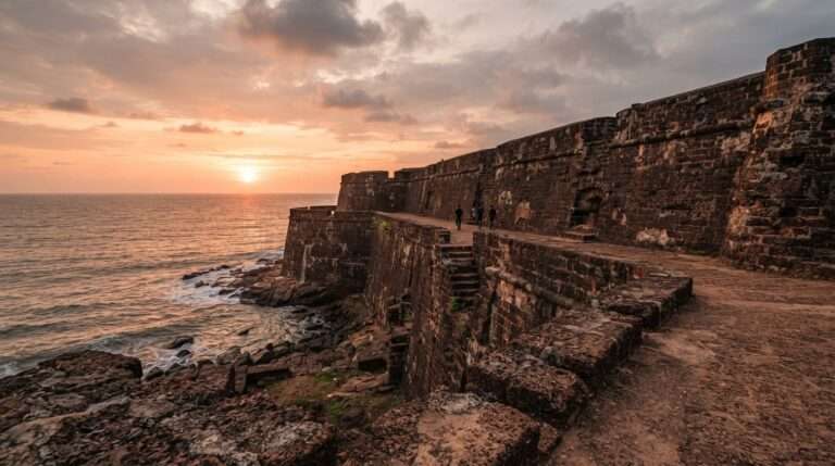
On the coastal alternative, Kannur adds quiet beaches (Payyambalam is the pick), the seaside fort, and if your timing is lucky, a Theyyam ritual performance in a village temple, one of the most striking things you can witness in north Kerala.
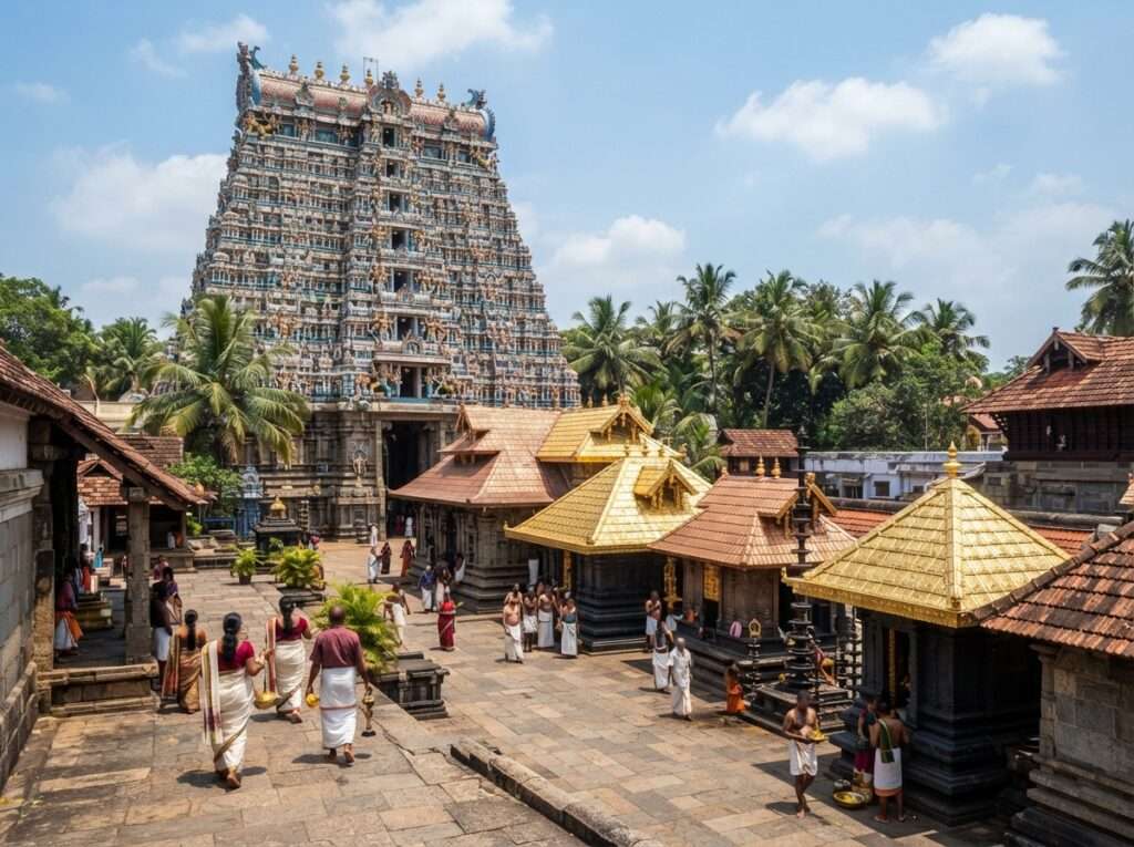
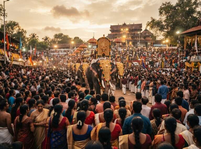
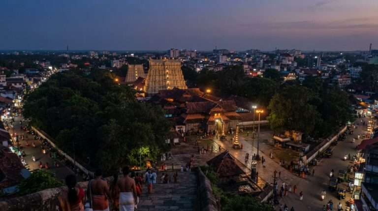
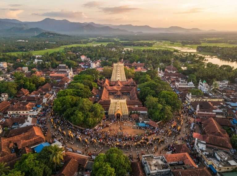
About 310 km in, Thrissur is Kerala’s cultural capital and the gateway to the central plains. If your trip lands in April you may catch Thrissur Pooram, the state’s grandest temple festival, but even off-season the Vadakkunnathan temple and the town’s easy pace make a good midday break.
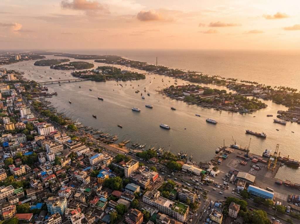

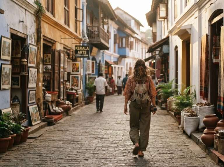
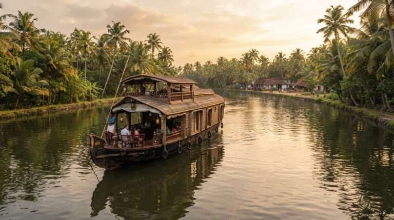
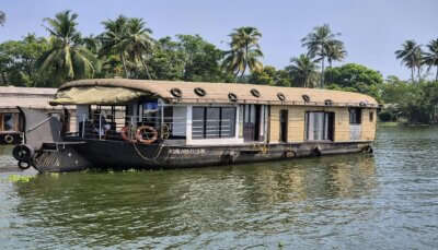
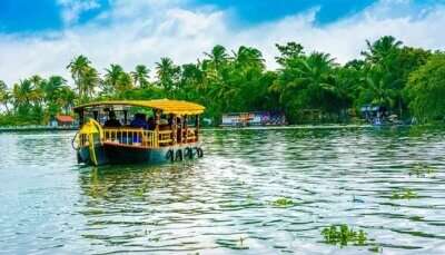
The usual finish line at roughly 390 km. Fort Kochi’s Chinese fishing nets, the old spice-trade lanes, the cafes and galleries, and a backwater or houseboat add-on toward Alleppey make it a destination in its own right, not just the end of a drive.
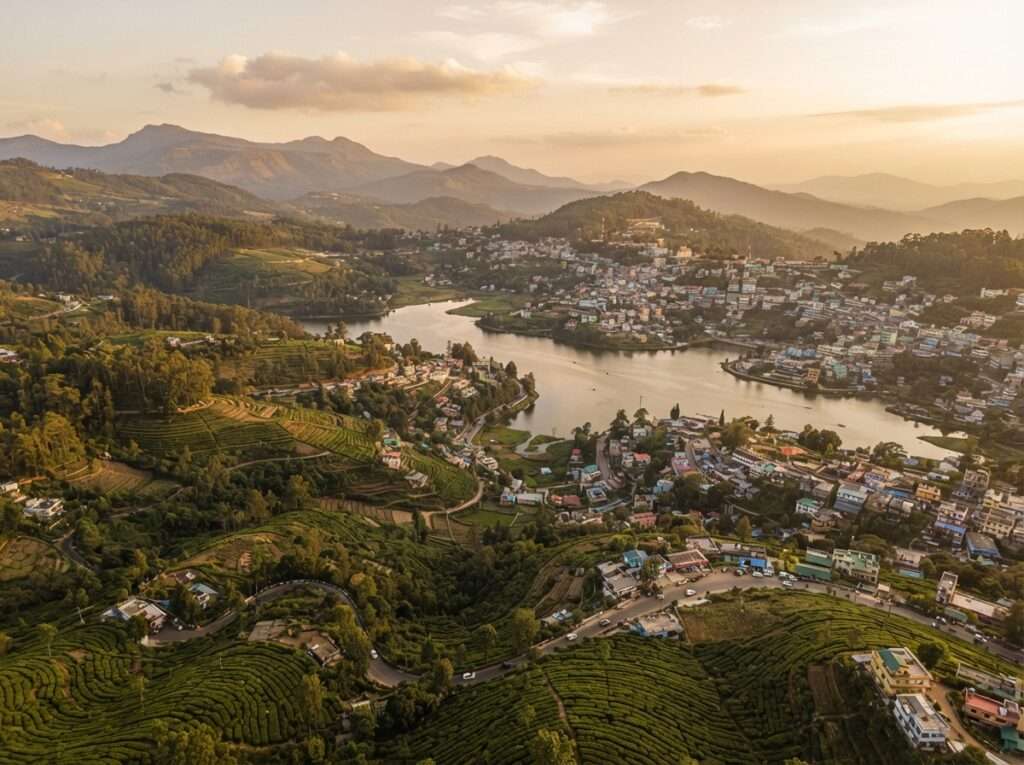
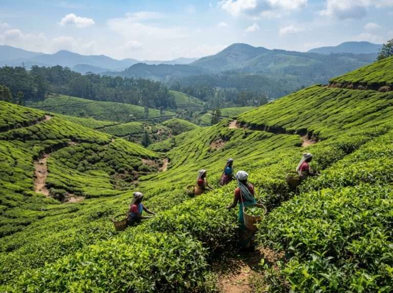
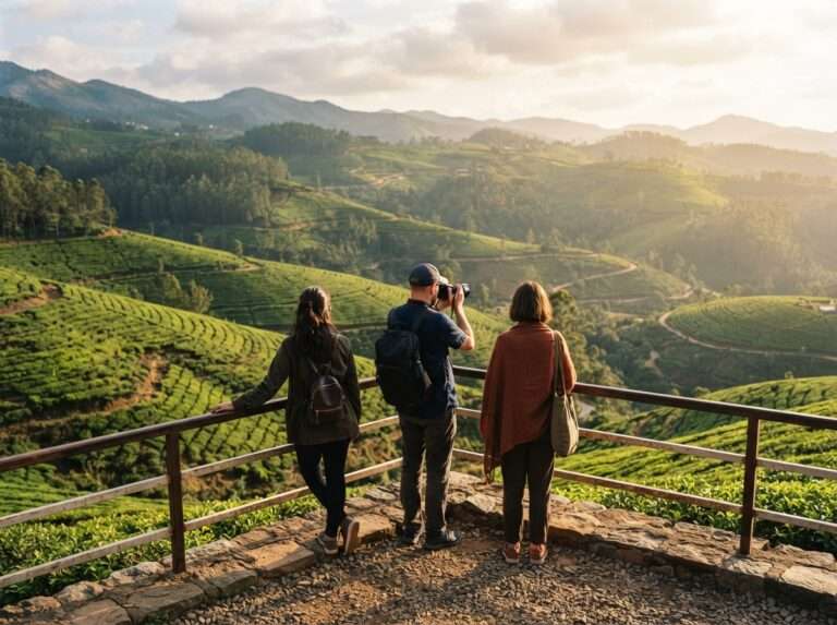
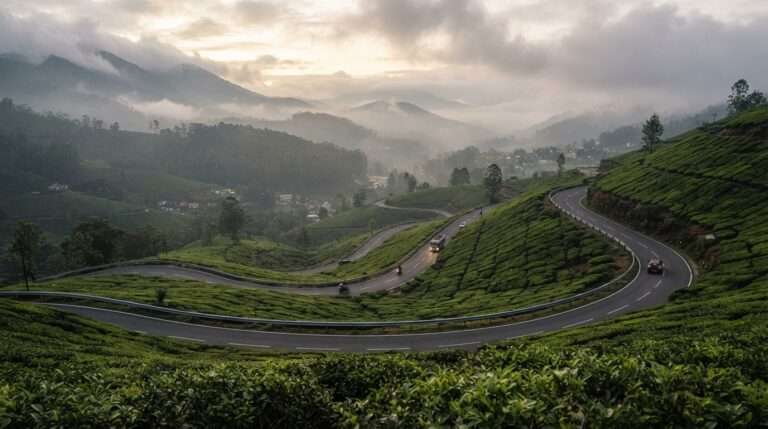
If you would rather climb than cut through the forest, you can loop via Ooty and the Nilgiris before dropping into Wayanad. It adds time and a lot of hairpins, but the tea-country scenery is a fair trade if you are not in a hurry.
Mysore to Kerala is short enough to do in a day if you only want the Bandipur and Wayanad country, and rich enough to fill three or four days if you carry on to the coast and Kochi. Fix your endpoint, drive the ghats in daylight, and give yourself at least one night on the road. If you would rather someone else handle the routing, stays and permits, browse our Mysore to Kerala tour packages or explore the wider range of Kerala tour packages. For seasons, regions and things to do once you arrive, the Kerala tourism guide covers the rest.
Distances, driving times and practical answers before you set off
It depends where in Kerala you mean. The Kerala border in Wayanad is only about 85 to 100 km from Mysore, roughly a 2 to 2.5-hour drive. If you continue to Kochi in central Kerala, the distance is around 390 km and takes about 10 to 12 hours of driving, depending on your route and traffic, since the Thamarassery ghat descent and the town traffic through Malappuram and Thrissur slow the pace.
To Kochi it is about 390 km by car via NH766 and NH544, taking 8 to 9 hours with a couple of short breaks. The Wayanad stretch of Kerala is much closer, around 110 to 130 km, or roughly 3 to 3.5 hours.
Reaching the Kerala border takes about 2.5 hours. Wayanad is 3 to 3.5 hours, Kozhikode around 5 hours, and Kochi 8 to 9 hours depending on your route, the Bandipur forest traffic and how long you stop.
For north Kerala, self-driving or a taxi on NH766 is fastest and most flexible. For Kochi or the far south, flying from Bengaluru airport is quicker in the air, but you add the drive to Bengaluru and lose the scenic route, so most travellers still drive.
The bus is usually the cheapest option. KSRTC and private operators run daily services toward Kozhikode, Thrissur and Kochi. Fares change often, so check current rates on redBus or the KSRTC site before you book.
There are direct and connecting buses most days. Direct trains are limited: most rail routes to Kerala change at Palakkad or Coimbatore, so the bus or car is often simpler. Check IRCTC for the latest train timings.
The Kerala border at Muthanga, just past Bandipur National Park, is about 90 km from Mysore and takes roughly 2.5 hours by road on NH766. It is the shortest "Mysore to Kerala" distance you will find.
The reverse drive is the same on the map, about 390 km from Kochi and 8 to 9 hours. Coming this way you climb into the Bandipur ghats mid-journey, so plan to clear the forest stretch before the 9 pm night-traffic ban.
The Wayanad route on NH766 is shorter and more scenic through forest and hill country, with plenty of hairpins. The coastal route via Kannur and Thalassery is longer but flatter and faster, and better if you want beaches and Malabar food. Pick Wayanad for hills, the coast for the seaside.
Because "Kerala" is a state, not a single point. Some tools measure the straight-line distance to a central point (around 165 km), some the nearest border (~90 km), and others a specific city like Kochi (~390 km) or Thiruvananthapuram (~590 km). Always check which endpoint a figure refers to.
It is best avoided. The Bandipur forest stretch is closed to through-traffic from 9 pm to 6 am, and the Wayanad ghat hairpins have low visibility and animal crossings after dark. Drive the ghats in daylight and, if needed, halt overnight in Wayanad or Kozhikode.
Yes, it is a pleasant family drive, with wildlife at Bandipur and waterfalls in Wayanad to keep kids interested. Break the journey rather than doing it in one long haul, carry snacks and entertainment for the forest stretches, and plan stops every couple of hours.
Real reviews from real travelers who booked with us.
View All Reviews