4D / 3N
17% OFF
4D / 3N
17% OFF
Manali-Kasol Tour Package by Cab for Himachal (4D/3N) - At A Glance
- Hotel
- Meals
- Sightseeing
- Entry Tickets
- Cab Transfer
₹12,688
₹10,500 /pp
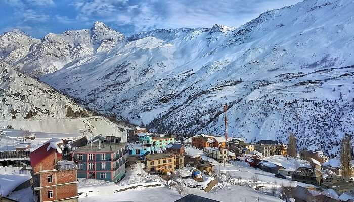


Keylong is the headquarters of the Lahaul valley in Himachal Pradesh, and the best places to visit in Keylong are its cliff-hanging monasteries, high-altitude lakes, and old Kath-Kuni forts, all within a short drive of the town. Sitting at about 3,080 metres (10,100 feet) on the banks of the Bhaga River, Keylong is the last real town before Ladakh, and since the Atal Tunnel opened it is an easy overnight from Manali rather than a hard day over the Rohtang Pass. This guide covers 12 places worth your time, from the 900-year-old Kardang Monastery to Suraj Tal near the Baralacha La, with distances, the best months to go, and exactly how to get there.
Key Takeaways
Best Places To Visit In Keylong
Best Time
March - June
Select Package Type

3 Days & 2 Nights
₹9,043 /@pp
GET FREE QUOTE

9 Days & 8 Nights
₹36,484 /@pp
GET FREE QUOTE.jpg?tr=w-600,h-300)

The whole list in one view. Distances are from Keylong town, and each spot has a fuller section below.
| Place | Type | Distance from Keylong | Best for |
| Shashur Monastery | Monastery | about 3 km | Cham dance, valley views |
| Kardang Monastery | Monastery | about 8 km | Oldest, largest gompa in Lahaul |
| Tayul Monastery | Monastery | about 6 km | 12 ft Padmasambhava statue |
| Gemur Monastery | Monastery | about 12 km ~18 km (village, 4 km before Jispa), not 12 km — Wikipedia Gemur Monastery / Holidify] | Masked Devil Dance festival |
| Gondhla Fort | Fort / heritage | about 18 km | 7-storey Kath-Kuni tower |
| Lahaul-Spiti Tribal Museum | Museum | in town | Local history, rainy-day stop |
| Deepak Tal | Lake | about 35 km ~43 km, not 35 km — Vargis Khan / discoverwithdheeraj Manali-Leh guides] | Roadside lake, photo stop |
| Suraj Tal | High lake | about 65 km | One of India’s highest lakes |
| Baralacha La | Mountain pass | about 44 km ~73 km, not 44 km — the pass sits ABOVE Suraj Tal (~65 km); Deepak Tal (43 km) is at its base — discoverwithdheeraj / Vargis Khan] | Adventure drive, trek base |
| Trilokinath Temple | Temple | about 45 km | Shared Hindu-Buddhist shrine |
| Sissu | Village / waterfall | about 40 km | Easy day-trip via Atal Tunnel |
| Jispa | Village | about 22 km | Riverside camps, acclimatising |
Keylong mein monasteries, lakes aur scenic mountain spots ki khoobsurat variety dekhne ko milti hai. Yahan ke ye attractions Lahaul ki natural beauty aur rich Buddhist culture ko explore karne ka mauka dete hain.
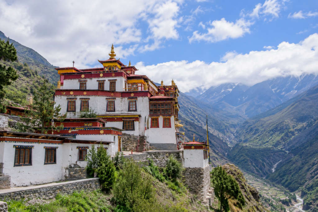
Shashur sits on a slope about 3 km above Keylong, and the climb is worth it as much for the view down the Bhaga valley as for the gompa itself. Deva Gyatso founded it in the 17th century for the Drukpa sect. The name joins ‘sha’ (blue) and ‘shur’ (pine) after the blue pines around it. Inside the three-storey building are old wall paintings, stupas, and statues of Deva Gyatso and Ngawang Namgyal, the lama known as the Bearded Lama. If you can time it, the summer Cham dance, when monks perform in masked costume, is the reason to be here.
| Detail | Info |
| Distance from Keylong | about 3 km (short drive plus a walk) |
| Sect / founded | Drukpa, 17th century, by Deva Gyatso |
| Do not miss | Cham dance festival (around June to July) |
| Best time | June to October |


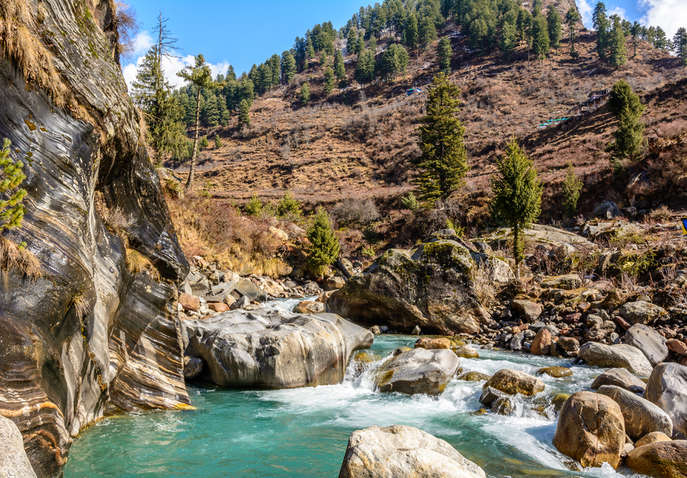
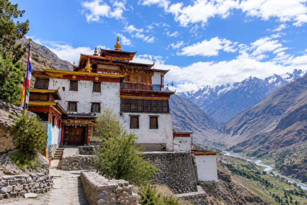
Kardang is the big one, the largest and one of the oldest monasteries in Lahaul, founded roughly 900 years ago. It stands on the left bank of the Bhaga below Rangcha Peak, looking straight across at Keylong, so the two face each other over the river. The main temple holds idols of Sakyamuni in the centre, Vajradhara on the left, and Padmasambhava on the right, and the complex has long housed the largest community of lamas and chomos (female monks) in the valley. Give it an hour and walk the terrace for the view back over town.
| Detail | Info |
| Distance from Keylong | about 8 km (across the Bhaga) |
| Altitude | about 3,500 m |
| Age | roughly 900 years |
| Why go | biggest gompa in Lahaul; resident lamas and chomos |


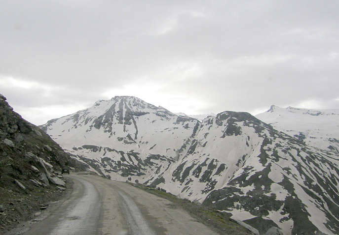


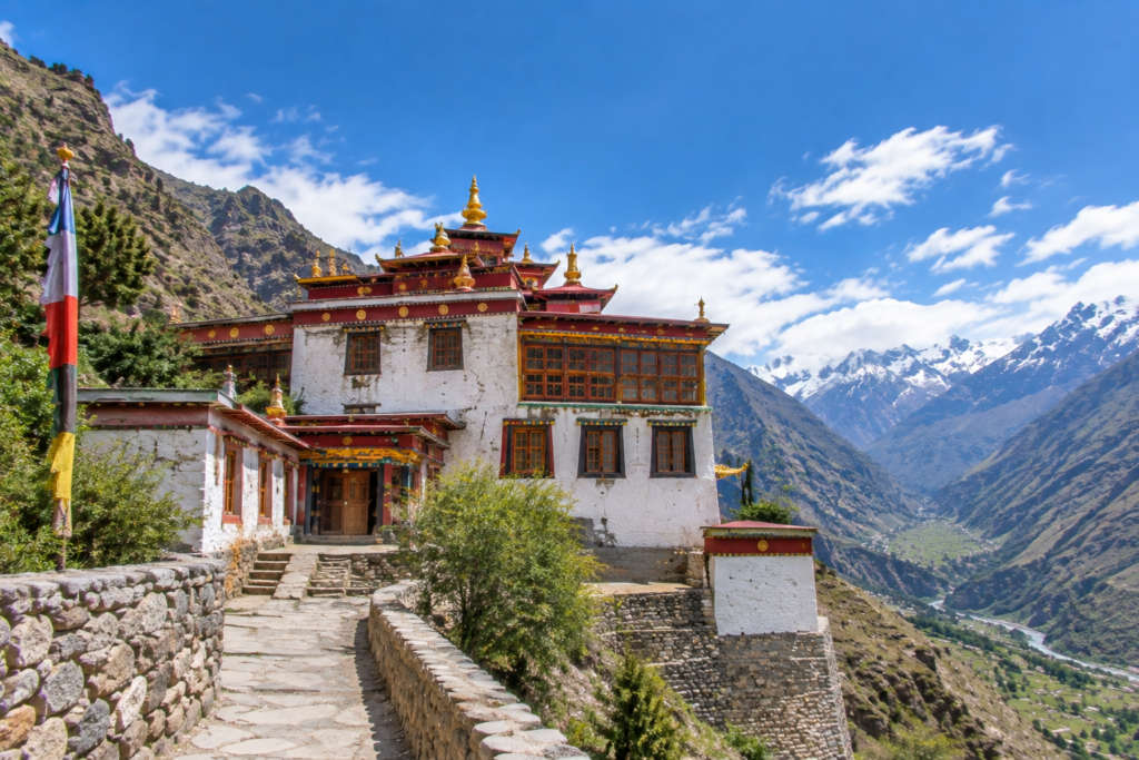
Above Satingri village in the Bhaga valley, Tayul was set up in the 17th century by Serzang Richen, a Drukpa lama from the Kham region of Tibet. The name Ta-Yul means ‘chosen place’. The reason to make the short trip is inside: a 12-foot statue of Padmasambhava, a full Kangyur library of Tibetan texts, and a large prayer wheel said to hold a thousand prayers. It is about 6 km from Keylong and quieter than Shashur, so you often have it to yourself.
| Detail | Info |
| Distance from Keylong | about 6 km |
| Founded | 17th century, by Serzang Richen |
| Highlight | 12 ft Padmasambhava statue; Kangyur library |
| Best time | June to October |
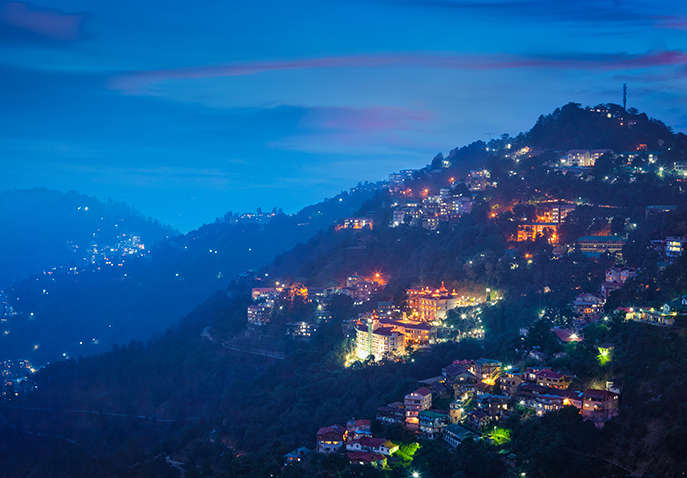


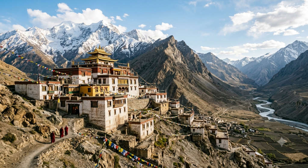
Gemur village is about 12 km north of Keylong on the road toward Jispa, and its monastery is best known for the yearly masked festival locals call the Devil Dance, a Cham performance where monks act out the triumph of good over evil in painted wooden masks. The gompa is linked to the Kardang line and keeps a statue of the goddess Marici. If your trip lands on the festival week, this is one of the most alive things to see in the valley. On any other day it is a calm, short stop on the way up the Bhaga. ~18 km (village, 4 km before Jispa), not 12 km.
| Detail | Info |
| Distance from Keylong | about 12 km (toward Jispa) ~18 km (village, 4 km before Jispa), not 12 km |
| Do not miss | masked Devil Dance (Cham) festival |
| Highlight | statue of the goddess Marici |
| Pair with | Jispa, further up the same road |
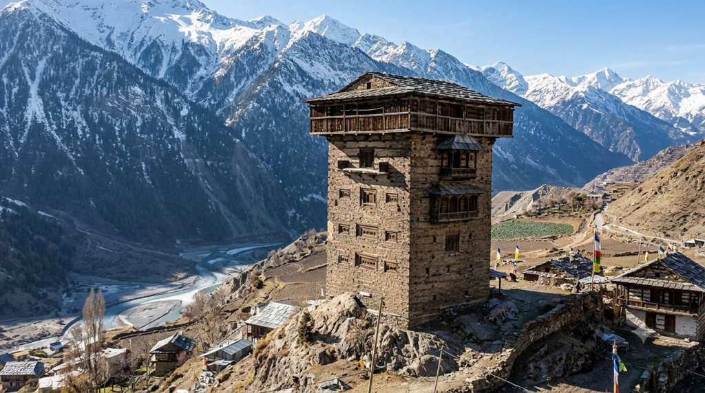
This is the place most Keylong lists leave out, and it should not be. Gondhla Fort is a seven-storey tower of stone and timber built in the Kath-Kuni style, the interlocking-beam technique that lets these buildings ride out earthquakes. A local Thakur put it up around 300 years ago. It stands empty now, but the rooms still hold old furniture, costumes, weapons, and statues, and climbing through the floors is the closest you get to how Lahaul’s rulers actually lived. It is about 18 km from Keylong toward Manali, so it slots neatly into your arrival or departure day.
| Detail | Info |
| Distance from Keylong | about 18 km (toward Manali) |
| Built | roughly 300 years ago, by a local Thakur |
| Style | 7-storey Kath-Kuni (timber and stone) |
| Inside | old furniture, costumes, weapons, statues |
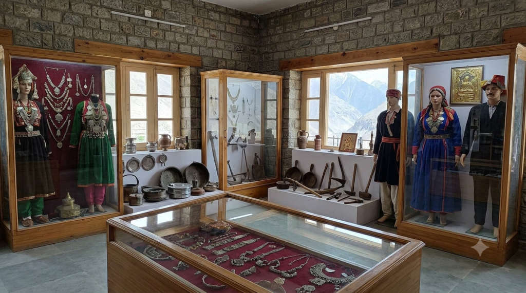
Right in Keylong market, this small museum is the rainy-day and rest-day answer, and it is the one place that puts the whole valley in context before you head out. The collection is everyday Lahauli life from before the roads: baskets, utensils, woollen clothing, coins, manuscripts, old photographs, preserved plants, and stone tools. It takes half an hour, and it makes the monasteries and forts read differently afterwards. Open roughly 10 am to 5 pm.
For more on the town itself, the shops, and where to eat, see our guide to the
Keylong market a few steps away.
| Detail | Info |
| Location | Keylong market (in town) |
| Timings | about 10 am to 5 pm |
| Best for | local history; a short rainy-day stop |
| Time needed | about 30 minutes |
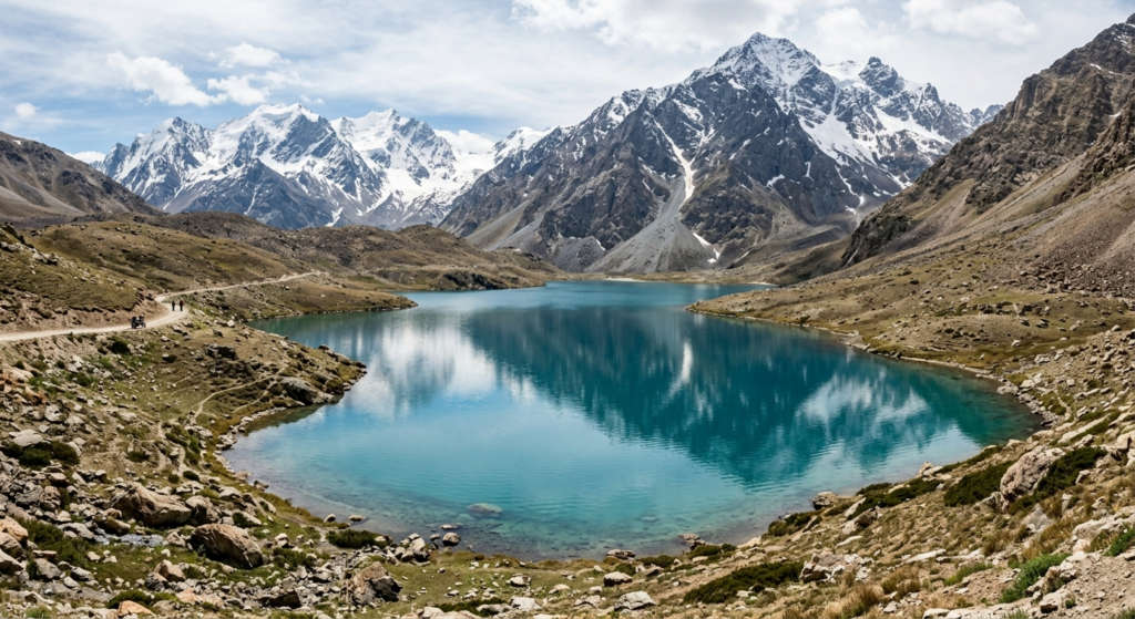
Deepak Tal is a small lake right beside the Manali-Leh highway, about 35 km from Keylong on the way to the Baralacha La. You do not trek to it. You pull over. Fed by snowmelt, it holds the most water through the monsoon and freezes solid in winter. It is a 15-minute stop for photos and cold, clear reflections of the peaks, and a good place to check how you feel as the altitude climbs. Combine it with Suraj Tal and Baralacha in one long day out of Keylong. ~43 km, not 35 km — Vargis Khan / discoverwithdheeraj Manali-Leh guides]
| Detail | Info |
| Distance from Keylong | about 35 km (Manali-Leh highway) ~43 km, not 35 km — Vargis Khan / discoverwithdheeraj Manali-Leh guides] |
| Type | roadside snowmelt lake |
| Best time | monsoon (fullest water); avoid winter |
| Pair with | Suraj Tal, Baralacha La |
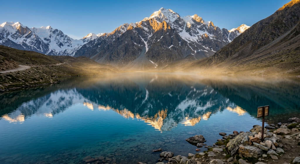
Suraj Tal, the ‘lake of the sun god’, sits just below the Baralacha La at around 4,890 metres, which makes it one of the highest lakes in India and the source of the Bhaga River that runs past Keylong. It is a serious altitude, so this is a place to visit only after a night or two acclimatising lower down. The payoff is a wide, still sheet of water ringed by bare high peaks, with almost nothing man-made in sight. Carry water, a warm layer, and do not linger too long if you feel light-headed.
| Detail | Info |
| Distance from Keylong | about 65 km |
| Altitude | about 4,890 m (one of India's highest lakes) |
| Note | source of the Bhaga River; acclimatise first |
| Best time | July to September |
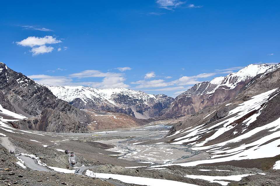
The Baralacha La is the high pass that ties Lahaul to Ladakh and Zanskar, about 44 km from Keylong at roughly 4,850 metres. It is an 8 km stretch of open, wind-scoured high ground, with Deepak Tal near its base and Suraj Tal near the top, and it is the reason a lot of riders and drivers come this way at all. It is also a trailhead, with routes dropping toward Zanskar. The pass is usually open only from about April to October. Outside that, snow shuts it. If you are coming up via the Rohtang route rather than the tunnel, check whether you need an inner-line permit. s ~73 km, not 44 km — the pass sits ABOVE Suraj Tal (~65 km); Deepak Tal (43 km) is at its base — discoverwithdheeraj / Vargis Khan]
| Detail | Info |
| Distance from Keylong | about 44 km ~73 km, not 44 km — the pass sits ABOVE Suraj Tal (~65 km); Deepak Tal (43 km) is at its base — discoverwithdheeraj / Vargis Khan] |
| Altitude | about 4,850 m |
| Open | roughly April to October |
| Best for | high-altitude drives, riders, trek starts |
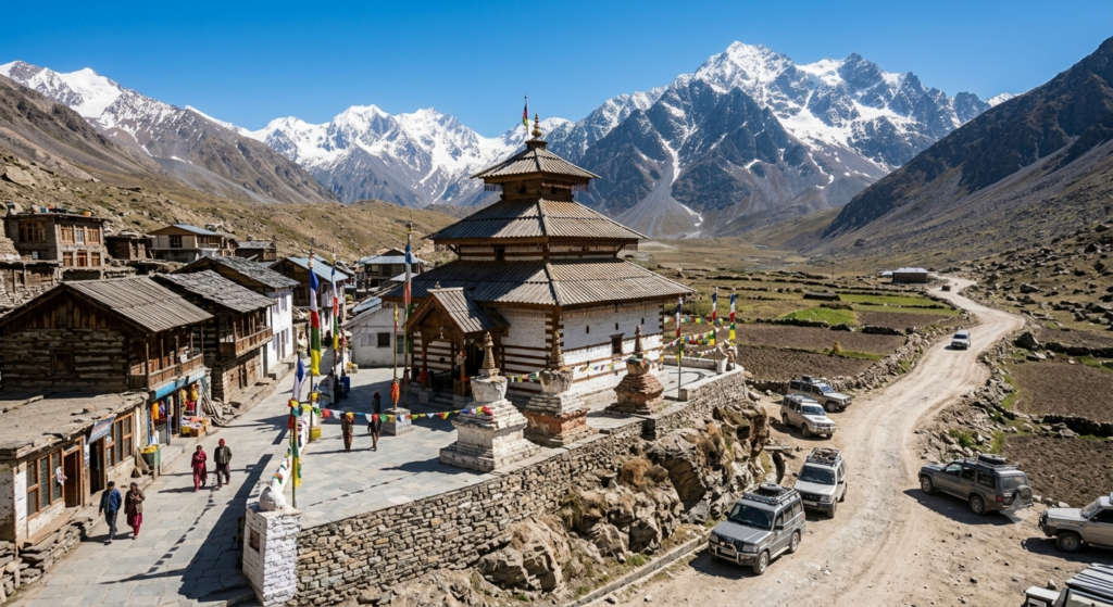
Trilokinath is unusual: one shrine that Hindus revere as Shiva and Buddhists as Arya Avalokiteshvara, worshipped side by side. It stands on a spur in the Pattan valley, on the right bank of the Chandrabhaga, about 45 km from Keylong past the Tandi confluence. The white marble idol is the focus, and the setting, a green side-valley below snow lines, is a change of scene from the bare high road north. It makes a good half-day out if you want temples and villages rather than more altitude.
| Detail | Info |
| Distance from Keylong | about 45 km (Pattan valley) |
| Shared by | Hindus (Shiva) and Buddhists (Avalokiteshvara) |
| Highlight | white marble idol |
| Best for | a lower-altitude half-day trip |
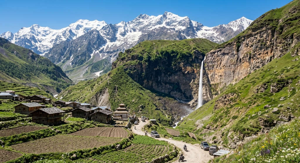
Sissu is the day-trip the Atal Tunnel created. Come out of the tunnel’s north end and it is only about 8 km on, roughly 40 km from Keylong, with a tall waterfall dropping off the cliff behind the village and the small Palden Lhamo lake by the road. Plenty of travellers now do Sissu as a half-day from Manali without ever reaching Keylong, but from Keylong it is an easy morning out. It is green, low by Lahaul standards, and good for a slow start to the trip.
| Detail | Info |
| Distance from Keylong | about 40 km (near the Atal Tunnel) |
| Highlight | cliff waterfall; Palden Lhamo lake |
| Best for | an easy, green half-day trip |
| Access | quick via the Atal Tunnel from Manali |
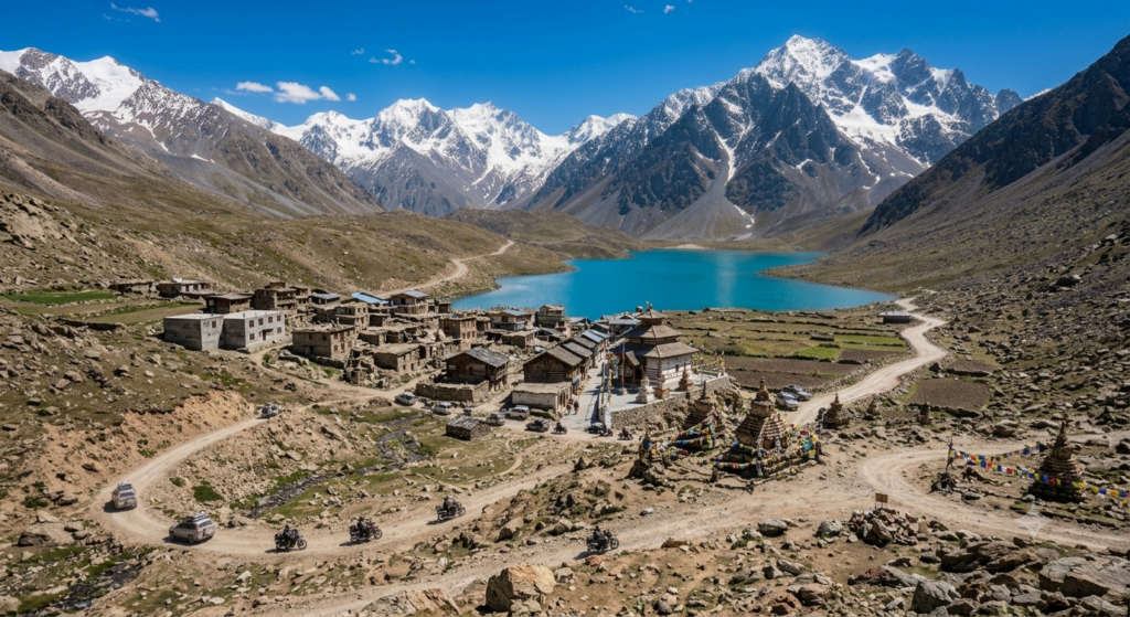
Jispa is a riverside village about 22 km north of Keylong on the Manali-Leh road, spread along the Bhaga at around 3,200 metres. It is where a lot of people break the drive to Ladakh, and it has the valley’s cluster of tented camps and small hotels. There is little to ‘do’ here, and that is the point: it is a calm, higher stop to sleep, walk by the river, and get your body used to the altitude before Baralacha. Nearby Darcha, a little further up, is the launch point for treks toward Zanskar.
| Detail | Info |
| Distance from Keylong | about 22 km (toward Leh) |
| Altitude | about 3,200 m |
| Best for | camps, acclimatising, riverside walks |
| Nearby | Darcha (Zanskar trek base) |
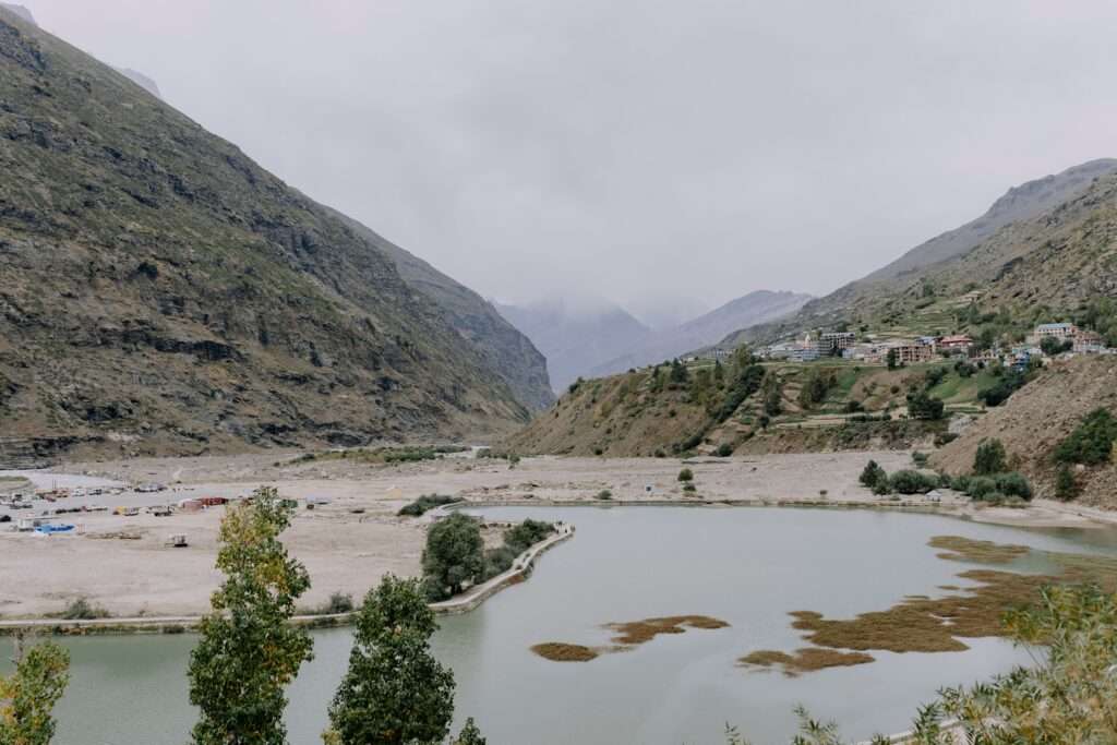
If you have extra time, two more are worth folding in. Tandi, about 8 km from Keylong, is the confluence where the Chandra and Bhaga rivers meet to form the Chandrabhaga, and it holds the last fuel pump before Leh, so fill up. Just above Tandi, Guru Ghantal Monastery is one of the oldest in Lahaul, credited to Padmasambhava, with rare wooden idols and its own late-summer Ghantal festival. Both fit on the way to Trilokinath.
Not every side-trip suits every traveller. Here is how the main excursions compare on distance, effort, and who they are for, so you can build a day plan that matches your pace and altitude.
| Trip | Round trip time | Altitude / effort | Best for |
| Town monasteries (Shashur, Kardang, Tayul) | half day | moderate, short walks | first-timers, culture, easy pace |
| Gondhla Fort + Tribal Museum | half day | easy, low altitude | heritage, rest days, families |
| Sissu + Tandi | half day | easy, lower altitude | a gentle first day, green scenery |
| Trilokinath + Pattan valley | most of a day | moderate, lower altitude | temples, villages, no high passes |
| Baralacha La + Suraj Tal + Deepak Tal | full day | hard, very high altitude | adventure, riders, acclimatised travellers |
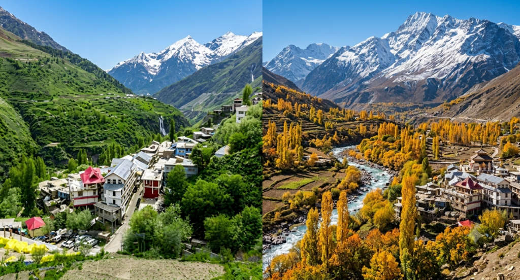
Keylong runs on a short season. The valley is genuinely open from about June to October, and July to September is the sweet spot when the high passes and lakes are clear of snow. Come outside that window and you risk the roads being shut. Here is the month-by-month picture.
| Season | Months | What to expect |
| Late spring | May to early June | Passes opening, snow patches high up, fewer crowds, some roads still clearing |
| Summer | June to July | Best access, monastery festivals, green lower valley, warmest days |
| Monsoon | August | Lakes fullest, occasional landslides on the Manali side, carry a buffer day |
| Early autumn | September to October | Clear skies, cold nights, high passes still open early on, great light |
| Winter | November to April | Heavy snow, most of the valley cut off, high passes closed |
Days can be warm in July, but nights are cold all season and the high spots are cold any month, so pack a warm layer whatever the calendar says.
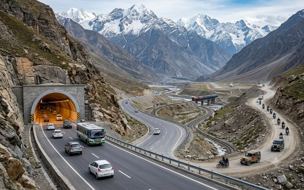
Keylong sits on the Manali-Leh highway, and the Atal Tunnel has changed how you get there for the better.
By road (the main way, via the Atal Tunnel)
From Manali, the drive is now about 70 km and takes roughly 2.5 to 3 hours through the 9 km Atal Tunnel, which opened in October 2020 under the Rohtang Pass. The tunnel is the big change: it skips the slow, weather-hit climb over Rohtang and stays open far more of the year, so Keylong is an easy overnight from Manali instead of a hard full-day haul. HRTC buses run from Manali, and there are longer-haul buses from Delhi and Chandigarh in season. If you self-drive, be comfortable on narrow mountain roads.
By air
The nearest airport is Bhuntar (Kullu-Manali), about 120 km from Keylong. From there it is a road transfer through Manali and the tunnel.
By train
There is no rail near Keylong. The closest usable stations are Amb Andaura (about 323 km) and Una (about 312 km), both a long road journey away, so most travellers fly to Bhuntar or drive up from Manali.
Step by step: Manali to Keylong
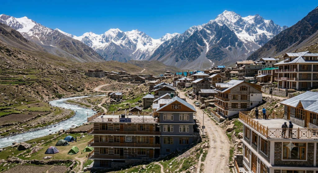
Keylong town has simple hotels and homestays rather than resorts, which suits a base you leave early and return to at night. Expect small, clean rooms, hot water that can be timed, and honest home food. Rooms typically run in the budget-to-mid range in season. Confirm current rates and whether the property is open when you book, since many close for winter. Up the road, Jispa and Sissu add riverside camps if you want a night closer to the high country.
Keylong rewards a slow, curious traveller: sleep in town, wake early, and let the monasteries, forts, and high lakes come one day at a time. Get there in season, acclimatise before you go high, and the valley opens up easily now that the tunnel has taken the pain out of the drive.
If you would rather have the road, stays, and permits handled for you, browse our Himachal tour packages and shape a Lahaul and Keylong route around this list. For the wider region, our
Himachal travel guide covers when to go and how to string the valleys together, and the drive onward to Ladakh is in our
The top spots are Shashur, Kardang, Tayul, and Gemur monasteries, the 7-storey Gondhla Fort, and the Lahaul-Spiti Tribal Museum, all close to town. Further out you can add Deepak Tal, Suraj Tal, and the Baralacha La on the Leh road, plus Trilokinath Temple, Sissu, and Jispa. Twelve in all, mixing monasteries, high lakes, and villages.
Drive it. Keylong is about 70 km from Manali, roughly 2.5 to 3 hours, through the Atal Tunnel that opened in 2020 under the Rohtang Pass. The tunnel skips the old slow climb and stays open much more of the year. HRTC buses also run from Manali in season, and you self-drive only if you are at ease on narrow roads.
June to October, with July to September the best window when the passes and lakes are clear of snow. The valley is largely snowbound and cut off from November to April, so plan around the short summer season. Nights are cold even in mid-summer, so carry a warm layer.
It is not advisable for most travellers. Heavy snow blocks the roads, the high passes close, and temperatures drop hard. Many hotels shut for the season. If you must go in winter, check road status with the local administration first and travel only with an experienced driver.
Two to three days is a good fit. One day for the town monasteries, Gondhla Fort, and the Tribal Museum; a second for a lower trip like Sissu, Tandi, or Trilokinath; and a third, only after you have acclimatised, for the high run to Deepak Tal, Baralacha La, and Suraj Tal.
Yes. Baralacha La is about 44 km and Suraj Tal about 65 km, so you can drive out and back in one long day, taking in Deepak Tal on the way. Because these sit above 4,800 metres, do this only after a night or two lower down, carry water and a warm layer, and turn back if anyone feels altitude sickness. ~73 km, not 44 km — the pass sits ABOVE Suraj Tal (~65 km); Deepak Tal (43 km) is at its base — discoverwithdheeraj / Vargis Khan]
Keylong is the district headquarters, so it has basic hotels and homestays, small markets, and an ATM or two, though machines can be down, so carry some cash. For fuel, fill up at Tandi, about 8 km away, which has the last reliable pump before Leh.
Indian travellers do not need a permit for Keylong or the usual nearby sights. A permit may apply on the Baralacha route if you approach from certain directions, and foreign nationals should check current rules. Confirm the latest requirement with the Lahaul & Spiti administration before you travel.
Real reviews from real travelers who booked with us.
View All Reviews