4D / 3N
17% OFF
4D / 3N
17% OFF
Manali-Kasol Tour Package by Cab for Himachal (4D/3N) - At A Glance
- Hotel
- Meals
- Sightseeing
- Entry Tickets
- Cab Transfer
₹12,688
₹10,500 /pp
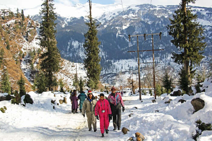


Trekking in Manali means short waterfall walks you can finish before lunch and week-long crossings into Spiti, all starting within two hours of the same town. The best hiking trails near Manali run from the easy Jogini Waterfall path to the 5,319 m Pin Parvati Pass, and most open between May and October. This guide ranks 15 of them by difficulty so you can match a trail to your fitness, your days in hand and the season, with every altitude, distance and best-month figure in one table up top.
Key takeaways
Trekking in Manali
Best Time
March - June
Select Package Type

3 Days & 2 Nights
₹9,043 /@pp
GET FREE QUOTE

9 Days & 8 Nights
₹36,484 /@pp
GET FREE QUOTE.jpg?tr=w-600,h-300)

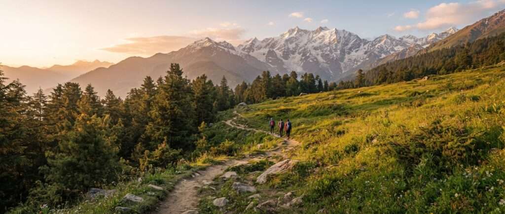
The best hiking trails near Manali span every level, from a two-hour waterfall walk to a ten-day Himalayan pass. Skim the table first. Each trek is grouped by difficulty, with its top altitude, the trail distance (round trip for the there-and-back walks, one-way for the point-to-point crossings), how many days to keep aside, where it starts and the best months to walk it. Full detail on every trek follows below.
| Trek | Difficulty | Max altitude | Distance (round trip) | Days | Base / trailhead | Best months |
| Jogini Waterfall | Easy | 2,150 m (7,050 ft) | 6 km | Half day | Vashisht | Mar-Jun, Sep-Nov |
| Bijli Mahadev | Easy | 2,460 m (8,070 ft) | 6 km | Half day | Chansari, Kullu | Mar-Nov |
| Prashar Lake | Easy | 2,730 m (8,960 ft) | 14 km | 1-2 | Baggi, Mandi | Mar-Jun, Sep-Nov |
| Lama Dugh | Easy | 3,020 m (9,900 ft) | 12 km | 1-2 | Dhungri, Manali | Apr-Jun, Sep-Oct |
| Malana Village | Easy-Moderate | 2,650 m (8,700 ft) | ~1.5-2.5 km each way | 1-2 | Malana Dam / Gate | Mar-Jun, Sep-Nov |
| Kheerganga | Easy-Moderate | 2,960 m (9,711 ft) | 24 km | 1-2 | Barshaini | Apr-Jun, Sep-Nov |
| Beas Kund | Moderate | 3,700 m (12,140 ft) | 16 km | 2-3 | Dhundi (past Solang) | May-Oct |
| Chandrakhani Pass | Moderate | 3,660 m (12,000 ft) | ~22 km one-way | 3 | Naggar (Rumsu) to Malana | May-Oct |
| Patalsu Peak | Moderate | 4,220 m (13,850 ft) | 14 km | 2 | Solang | May-Oct |
| Bhrigu Lake | Moderate | 4,300 m (14,100 ft) | ~24-26 km (12 km each way) | 3 | Gulaba | May-Oct |
| Hampta Pass | Moderate | 4,270 m (14,010 ft) | ~26 km point-to-point | 4-5 | Jobra to Chhatru | Jun-Sep |
| Chandratal Lake | Moderate | 4,300 m (14,100 ft) | Varies | 2-4 | Batal / Kunzum | Jun-Sep |
| Deo Tibba Base Camp | Moderate | 4,480 m (14,700 ft) | 24 km | 5-6 | Jagatsukh (Khanol) | Jun-Oct |
| Hamya Herbal | Moderate | 4,270 m (14,000 ft) | ~30 km | 6-8 | Pandu Ropa | Jun-Sep |
| Bara Bhangal (Kalihani) | Difficult | 4,800 m (15,750 ft) | ~80-90 km one-way | 9-11 | Manali to Bir/Billing | Jul-Sep |
| Pin Parvati Pass | Difficult | 5,319 m (17,450 ft) | ~110 km one-way | 9-12 | Barshaini to Mudh (Spiti) | Jul-Sep |
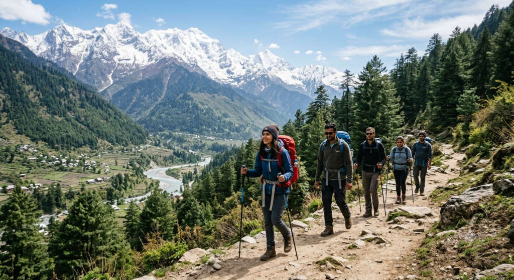
Season decides which trails are open and which are buried in snow. The low waterfall and valley walks near Manali are good from March, while the high passes only clear from June. Monsoon rain in July and August makes forest trails slippery and closes in the views, though the rain-shadow crossings toward Spiti stay drier. For firm ground and the sharpest peaks, aim for September and October.
| Season | Months | Temperature | What it suits |
| Spring | March to June | 10 to 25 C | Easy and scenic treks, meadows in bloom, best all-round window |
| Monsoon | July to mid-September | 15 to 22 C | Experienced trekkers only; slippery trails, landslide risk, drier toward Spiti |
| Autumn | Mid-September to November | 10 to 20 C | Clearest views and long treks; cold nights, book layers |
| Winter | December to February | Below 0 to 10 C | Snow treks for prepared, guided groups; most high routes closed |
If you are travelling in the cold months, our guide to Manali in December covers which trails still open up when the first snow falls.
Short on time or new to the hills? Five of these trails need only a day or a weekend, sit under 3,100 m and start close to town. They are the right first taste of trekking in Manali before you commit to a high pass.
These trails stay under 3,100 m and ask for little beyond a decent pair of shoes and a normal fitness base. Each starts within an hour or two of Manali.
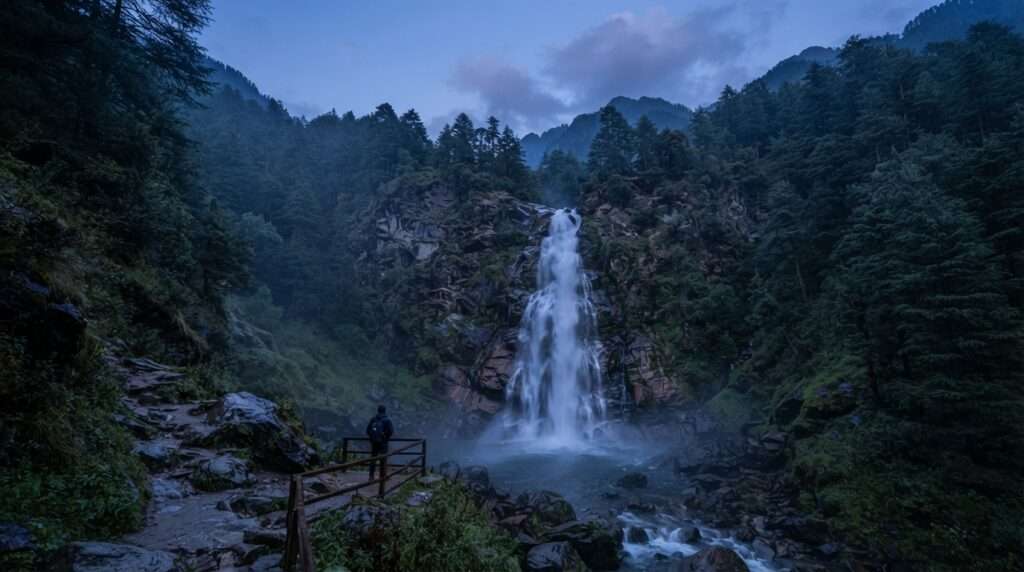
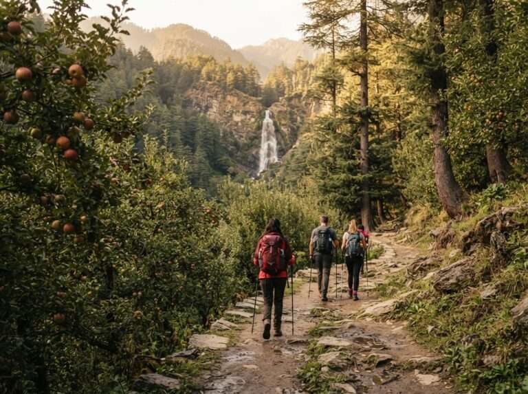
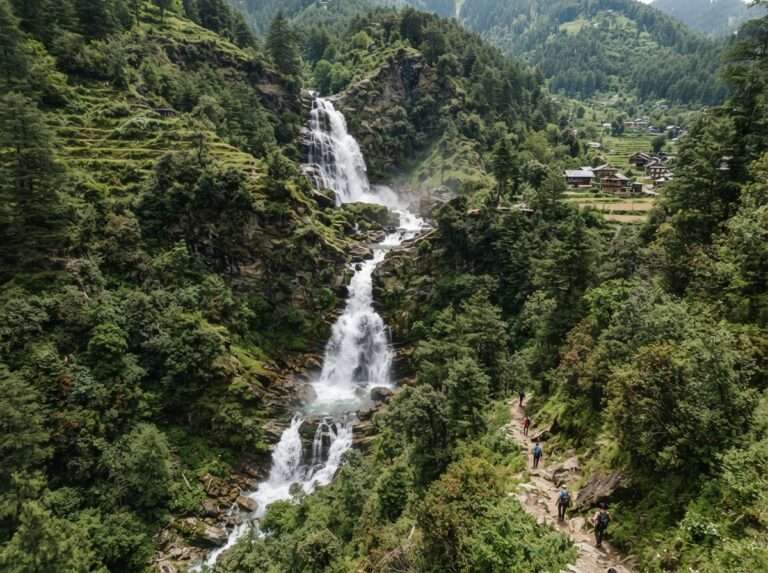
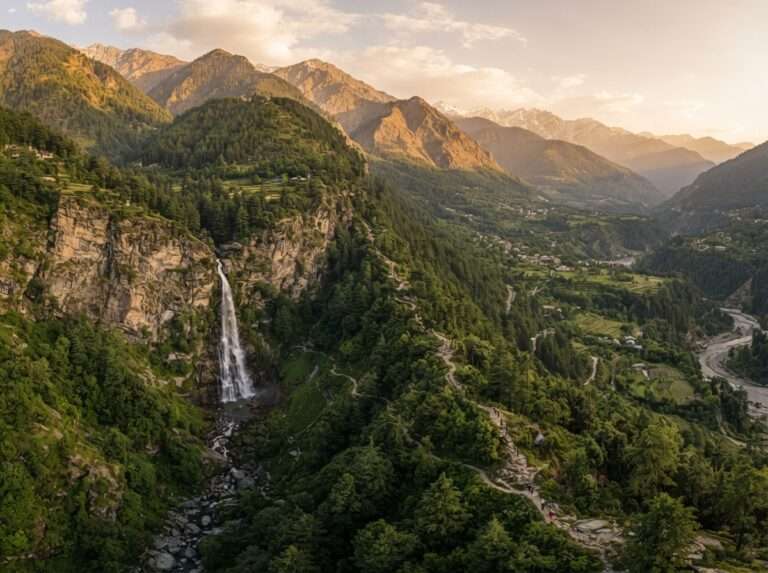
The walk to Jogini starts behind the hot springs at Vashisht and climbs gently through apple orchards and pine to a waterfall that drops in stages down the hillside. It takes most people two to three hours up and back, which makes it the easiest way to feel the mountains without giving up a whole day. Go in the morning before the crowds and you often have the top pool to yourself. A small shrine sits beside the falls, and the view back over the Beas Valley is worth the short pull.
| Difficulty | Easy |
| Max altitude | 2,150 m (7,050 ft) |
| Distance | 6 km round trip |
| Days | Half day |
| Base / trailhead | Vashisht |
| Best months | Mar-Jun, Sep-Nov |


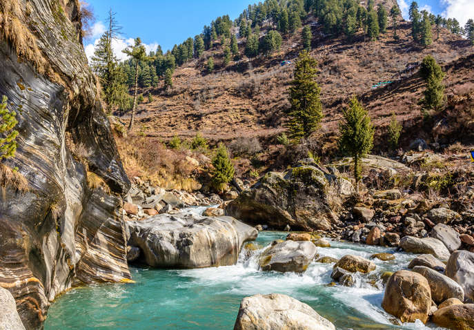
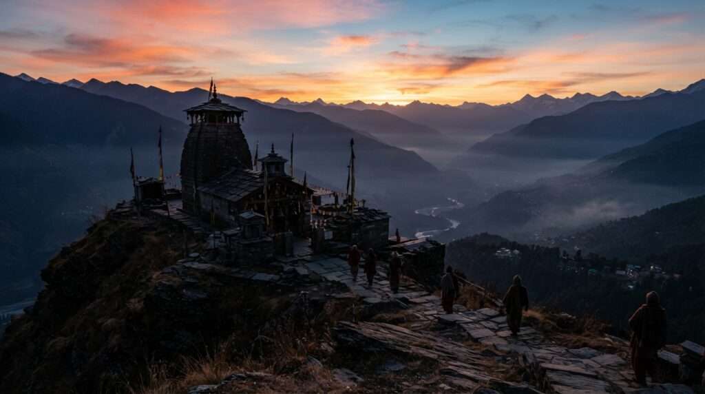
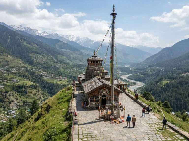
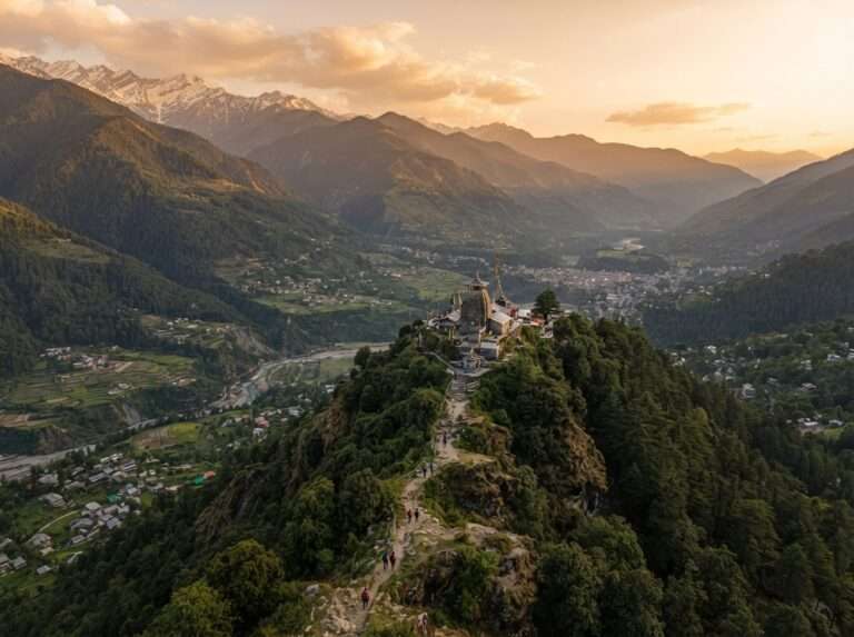
A short but steep climb from Chansari village leads to the Bijli Mahadev temple, set on a ridge that looks down both the Kullu and Parvati valleys. The temple is known for a tall staff that locals say draws lightning, and the 360-degree view from the top is one of the best you will get for so little effort. Reach the road-head from Kullu, then give yourself about two hours up. It suits families and anyone with only a morning to spare.
| Difficulty | Easy |
| Max altitude | 2,460 m (8,070 ft) |
| Distance | 6 km round trip |
| Days | Half day |
| Base / trailhead | Chansari, Kullu |
| Best months | Mar-Nov |




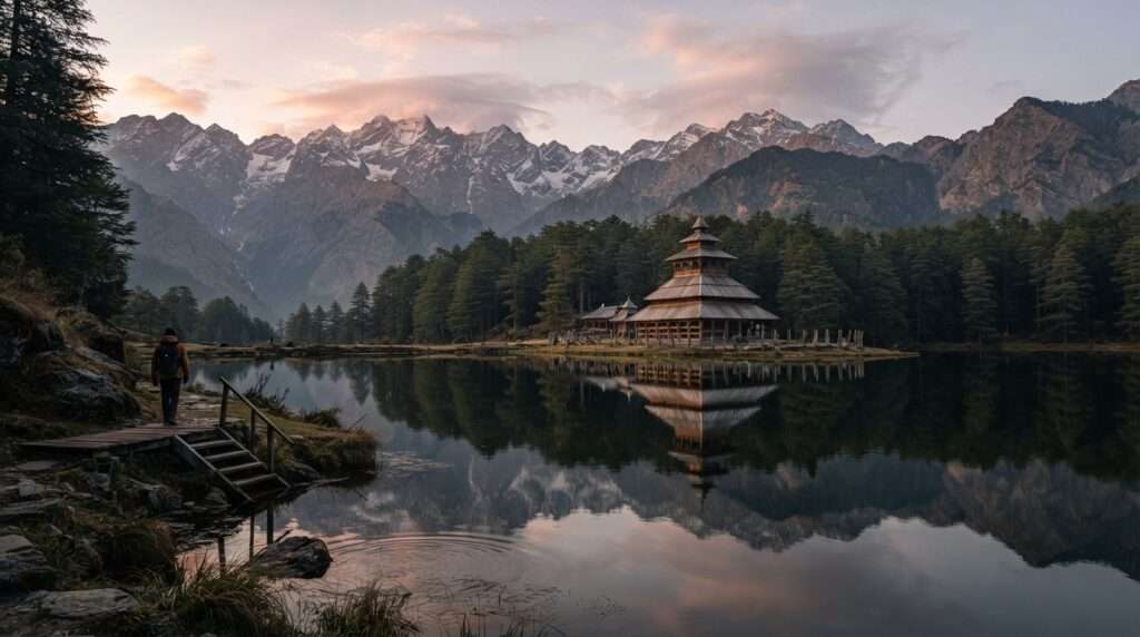
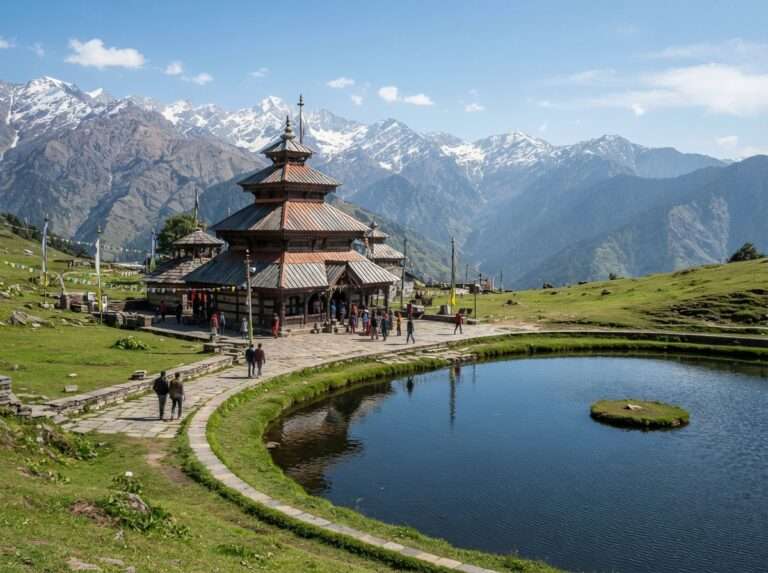
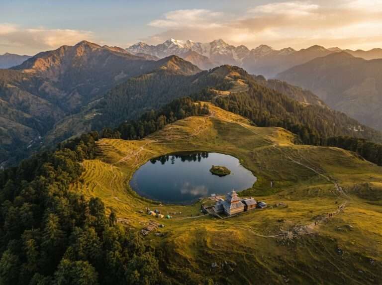
Prashar pairs a small mountain lake with a three-tiered pagoda temple said to be centuries old, all at a gentle height above Mandi. The trail from Baggi village is short and open enough for first-timers, and the ridge above the lake gives a wide sweep of the Dhauladhar and Pir Panjal. Most trekkers do it over a weekend. In deep winter the lake freezes and the meadow fills with snow, a harder and colder version for those who come prepared.
| Difficulty | Easy |
| Max altitude | 2,730 m (8,960 ft) |
| Distance | 14 km round trip |
| Days | 1-2 |
| Base / trailhead | Baggi, Mandi |
| Best months | Mar-Jun, Sep-Nov |


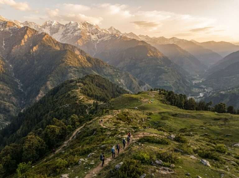
Lama Dugh is the meadow escape closest to Manali, reached on a forest trail that climbs from the Hadimba temple area at Dhungri through cedar and oak. The grassland at the top opens onto views of the Dhauladhar and the Deo Tibba massif, and it stays quiet even in peak season. Fit walkers turn it around in a long day; camping one night makes for an easy overnight. It is a good acclimatisation walk before a bigger trek.
| Difficulty | Easy |
| Max altitude | 3,020 m (9,900 ft) |
| Distance | 12 km round trip |
| Days | 1-2 |
| Base / trailhead | Dhungri, Manali |
| Best months | Apr-Jun, Sep-Oct |
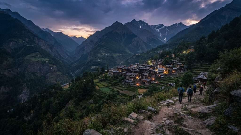
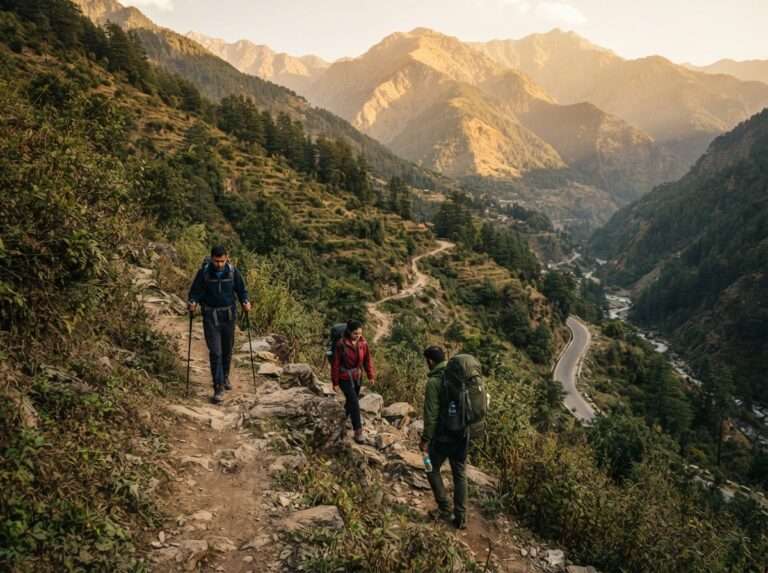
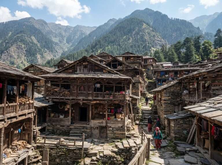
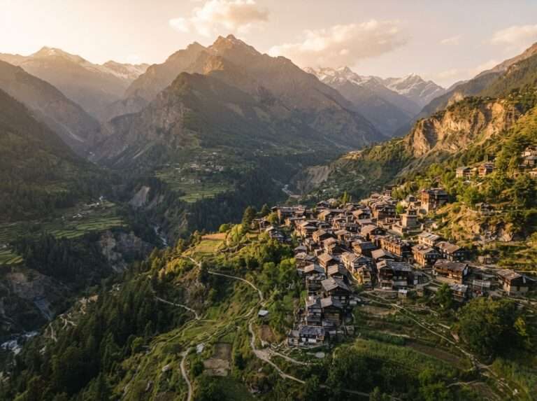
The short trek to Malana now starts from the Malana Dam / Malana Gate taxi stand (a motorable road runs well past Jari), a hike of roughly 1.5 to 2.5 km each way to one of the oldest and most self-contained villages in the region, known for its own customs and strict rules for visitors. Respect the local etiquette: the no-touch rule extends to the villagers themselves and to their houses, shops, walls and belongings, not just the temples, with spot fines of roughly Rs 1,000 to 3,500 for violations, and outsiders are not allowed to stay overnight inside the core village. The walk itself is a steady forest climb of a few hours, and the reward is a look at a way of life that has stayed apart for generations. Combine it with a night in nearby Kasol.
| Difficulty | Easy-Moderate |
| Max altitude | 2,650 m (8,700 ft) |
| Distance | ~1.5-2.5 km each way |
| Days | 1-2 |
| Base / trailhead | Malana Dam / Gate |
| Best months | Mar-Jun, Sep-Nov |
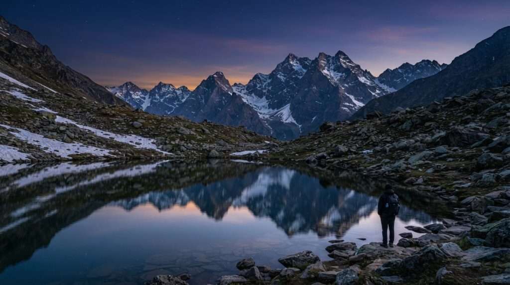
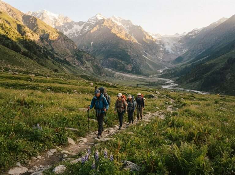
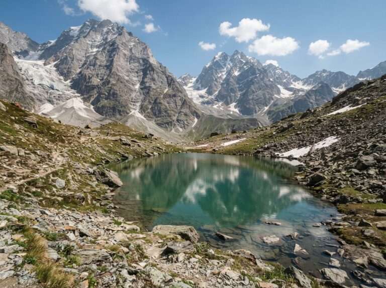
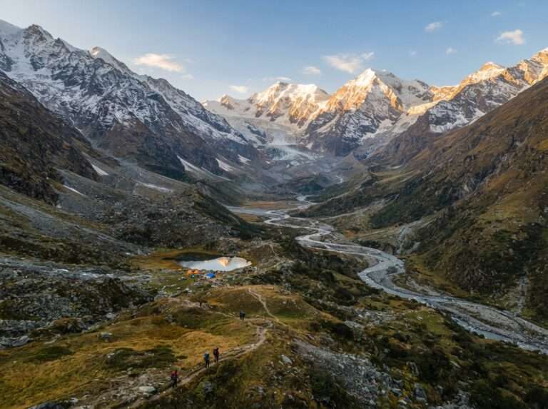
Beas Kund is the glacial lake where the Beas river is said to rise, ringed by the peaks of Hanuman Tibba, Shitidhar and Friendship Peak. A motorable road now extends past Solang to Dhundi, the usual trailhead, from where the trail climbs through the Dhundi meadows and Bakarthach before the final pull to the lake. It is a popular first high-altitude trek because the gradient is forgiving and the scenery turns alpine fast. Two to three days is enough, and May to October is the safe window once the snow has cleared.
| Difficulty | Moderate |
| Max altitude | 3,700 m (12,140 ft) |
| Distance | 16 km round trip |
| Days | 2-3 |
| Base / trailhead | Dhundi (past Solang) |
| Best months | May-Oct |
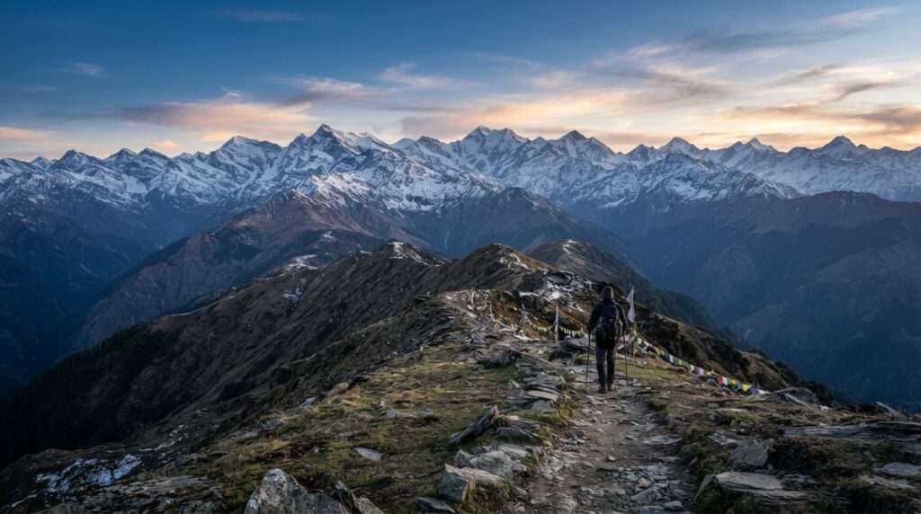
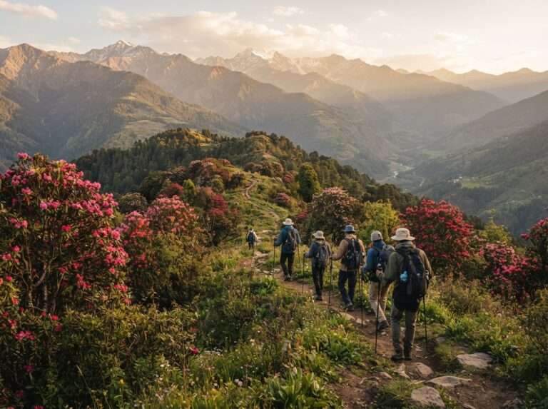
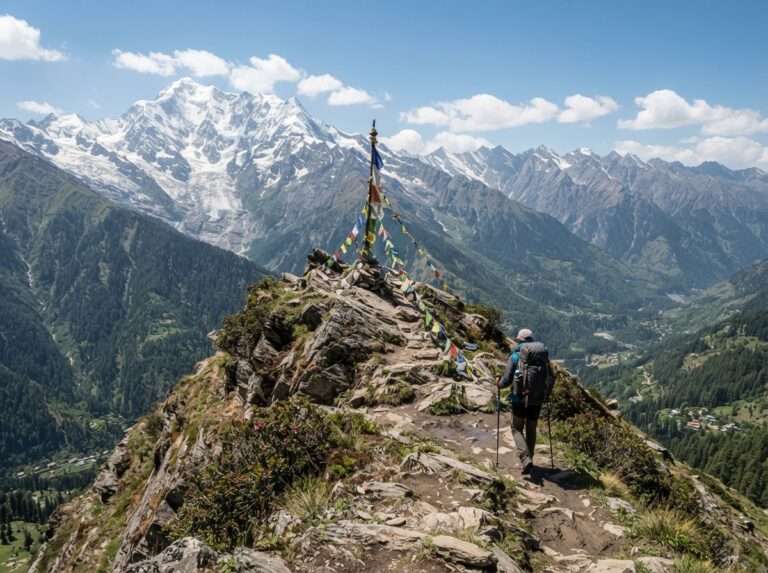
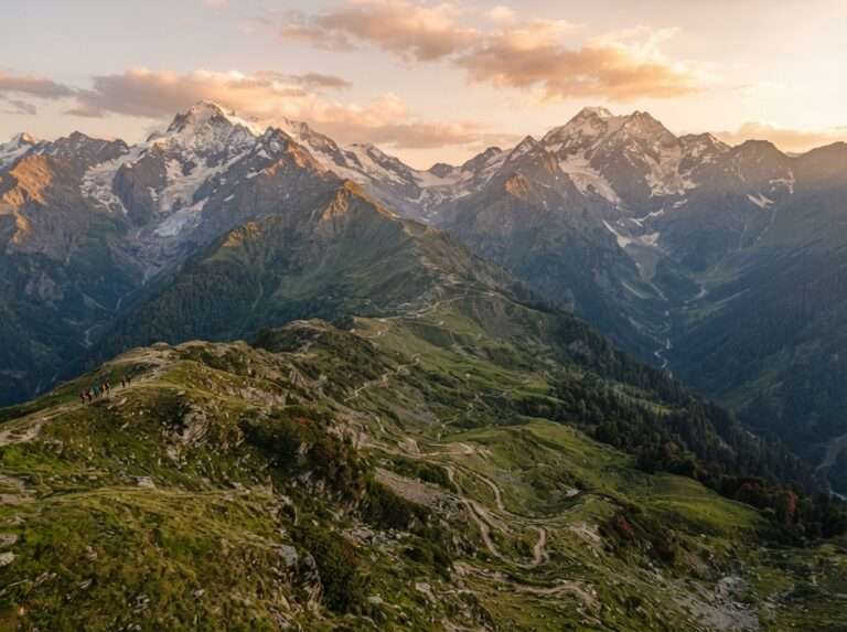
The Chandrakhani Pass trek starts above the old town of Naggar and crosses meadows and rhododendron forest to a pass with views of the Deo Tibba and Pir Panjal ranges. It is usually walked as a point-to-point crossover, dropping down toward Malana on the far side rather than returning the same way, linking two very different valleys. It is a solid three-day moderate trek with a gentle build, well suited to trekkers stepping up from the easy walks. The best months are May to October, with clear autumn skies the reward for a late-season trip.
| Difficulty | Moderate |
| Max altitude | 3,660 m (12,000 ft) |
| Distance | ~22 km one-way crossover |
| Days | 3 |
| Base / trailhead | Naggar (Rumsu) to Malana |
| Best months | May-Oct |
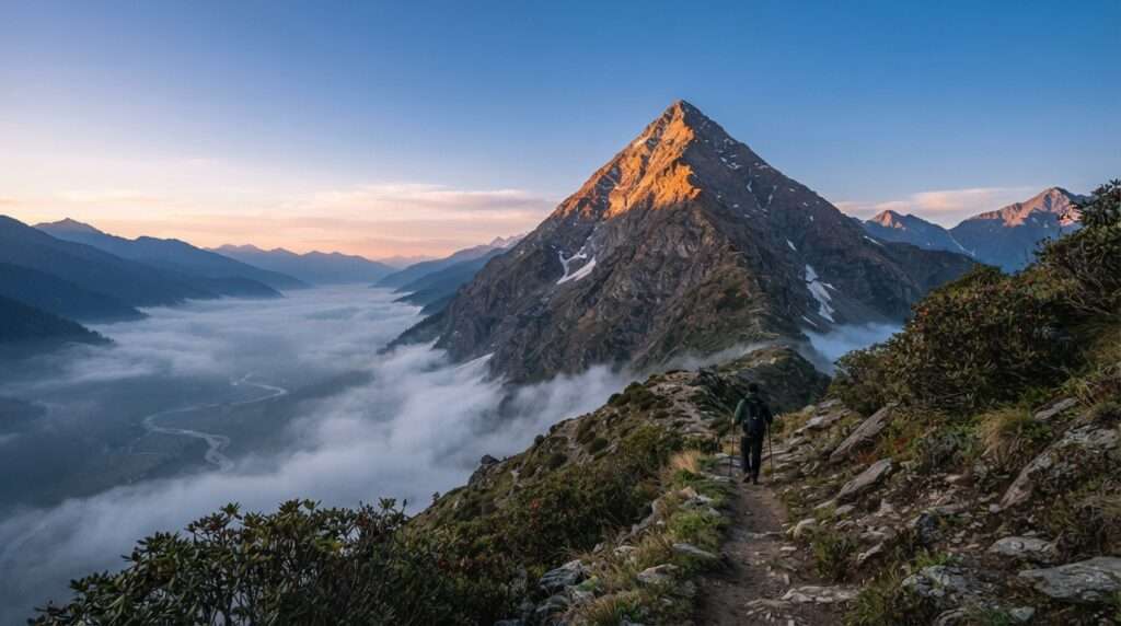
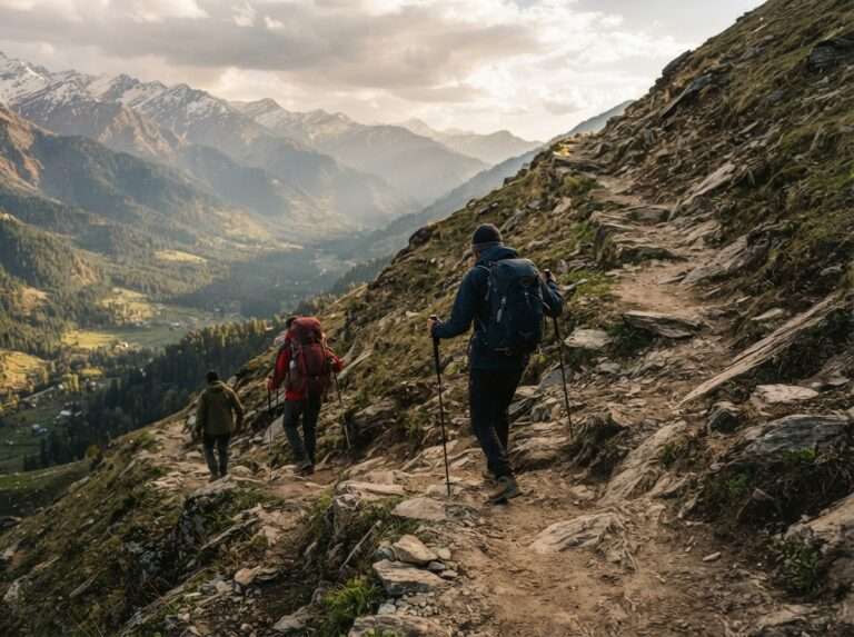
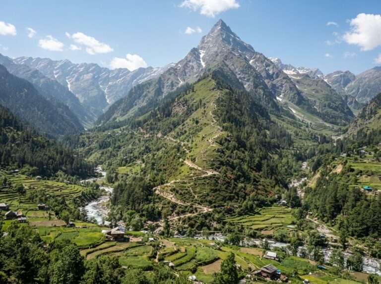
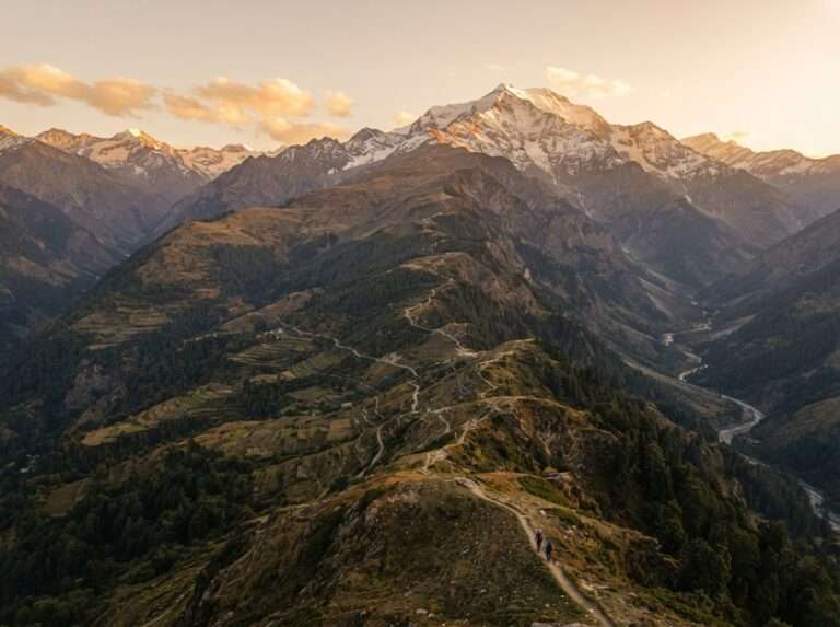
Patalsu is the steep pyramid that rises straight above Solang, and reaching its shoulder is a short but demanding climb that gains height quickly. The trail leaves the Solang meadows and pushes up grassy then rocky slopes, rewarding you with a close-up line of the Friendship Peak and Hanuman Tibba ridges. Two days is enough, but the fast ascent means you should already be fit and take the altitude seriously. Late May to October is the window; earlier and the upper slopes hold snow.
| Difficulty | Moderate |
| Max altitude | 4,220 m (13,850 ft) |
| Distance | 14 km round trip |
| Days | 2 |
| Base / trailhead | Solang |
| Best months | May-Oct |
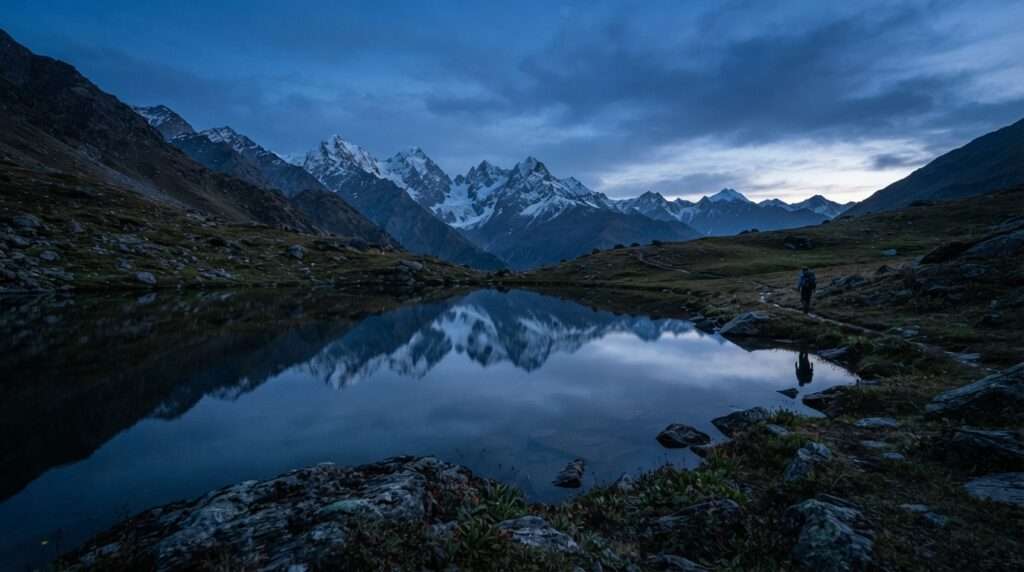
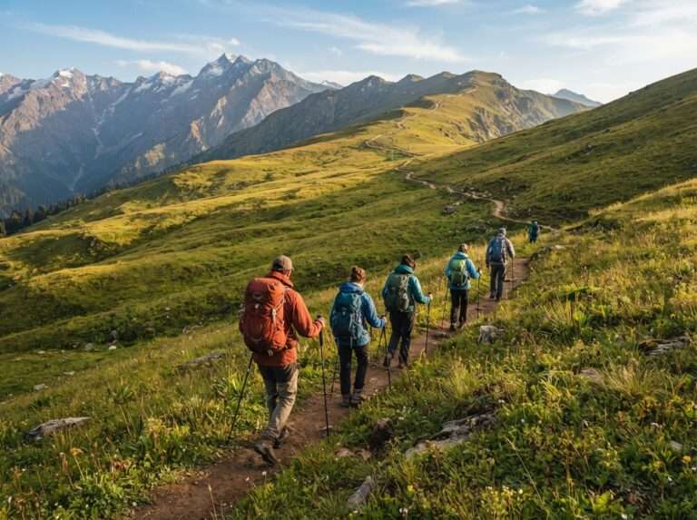
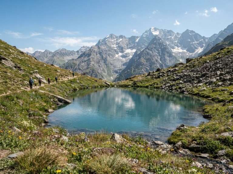
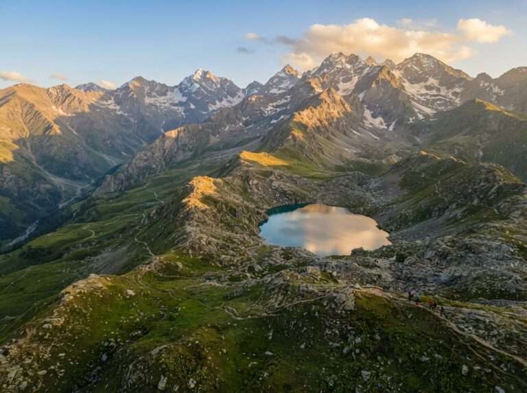
Bhrigu Lake is a high glacial lake above the Gulaba meadows, named for the sage said to have meditated on its shore. What makes it special is how quickly you reach true alpine country: within a day of leaving the road you are camped on rolling meadows with the Pir Panjal spread out ahead. The lake often holds ice into early summer. Three days covers it comfortably, and mid-May to October is the season, with the meadows greenest just after the snowmelt.
| Difficulty | Moderate |
| Max altitude | 4,300 m (14,100 ft) |
| Distance | ~24-26 km round trip (12 km each way) |
| Days | 3 |
| Base / trailhead | Gulaba |
| Best months | May-Oct |
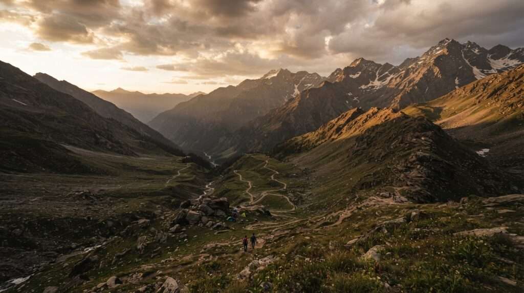
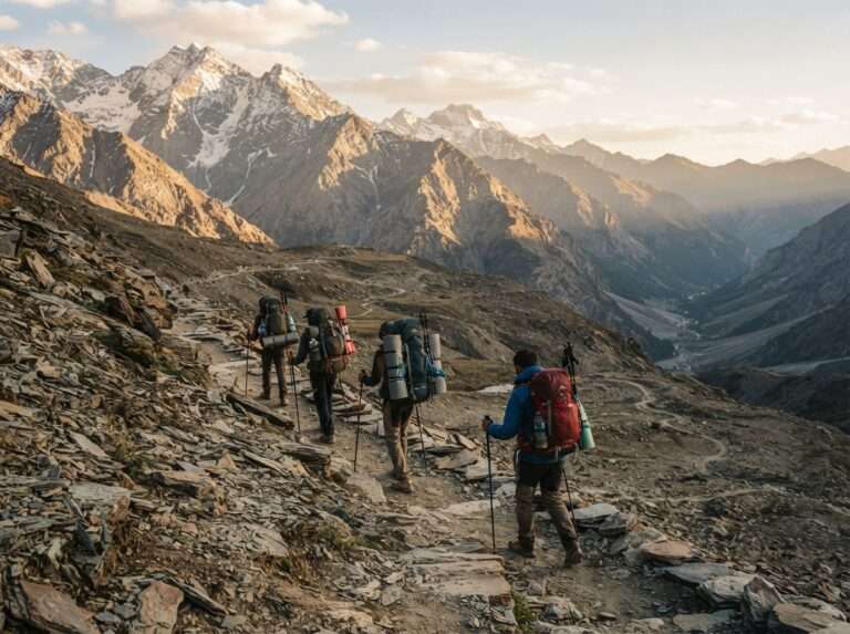
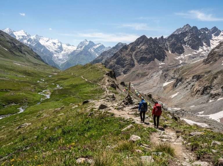
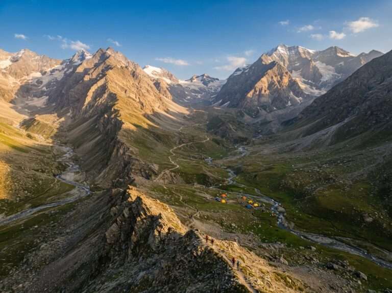
Hampta Pass is the trek most people mean when they talk about crossing the mountains near Manali. It is a point-to-point crossover, not a round trip: in four to five days you walk from Jobra on the green, forested Kullu side over the pass and down into the stark brown of Lahaul, finishing at Chhatru, a change of scenery so sharp it feels like two countries. Many trekkers add a day trip to Chandratal at the end. The trail is well established and guided groups run through the summer. June to September is the window, once the pass is clear of snow.
| Difficulty | Moderate |
| Max altitude | 4,270 m (14,010 ft) |
| Distance | ~26 km point-to-point |
| Days | 4-5 |
| Base / trailhead | Jobra to Chhatru |
| Best months | Jun-Sep |
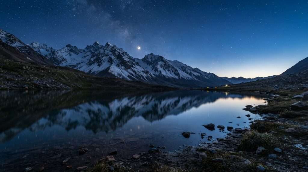
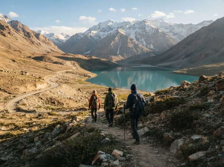
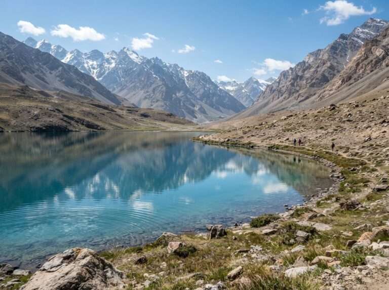
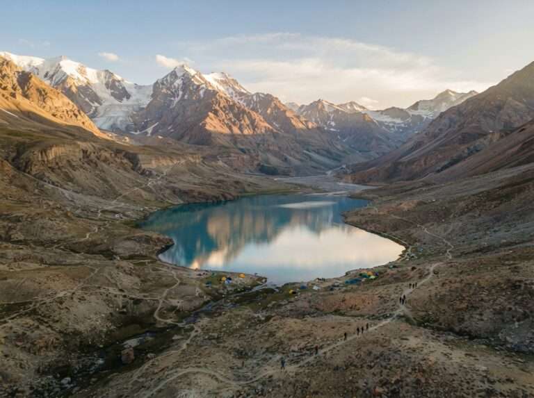
Chandratal, the moon-shaped lake, sits on the Spiti side of the Kunzum range at about 4,300 m. You can reach a car park within a short walk of the shore once the road opens. Many Hampta Pass trekkers tack it on at the end, but it is reached by a road drive from Chhatru via Batal (roughly 45 to 50 km), not on foot from the pass. Camping is restricted to the designated site a couple of kilometres back to protect the lake. The road and trail are only open from around June to September; outside that the whole area is snowbound.
| Difficulty | Moderate |
| Max altitude | 4,300 m (14,100 ft) |
| Distance | Varies |
| Days | 2-4 |
| Base / trailhead | Batal / Kunzum |
| Best months | Jun-Sep |
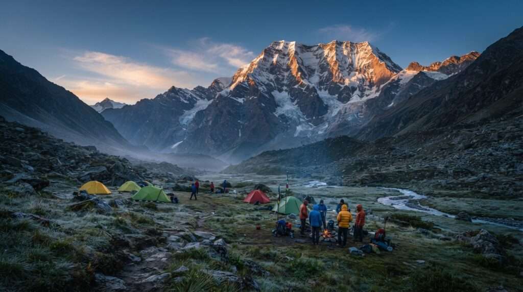
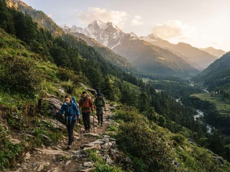
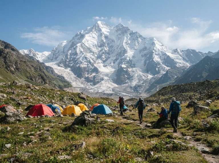
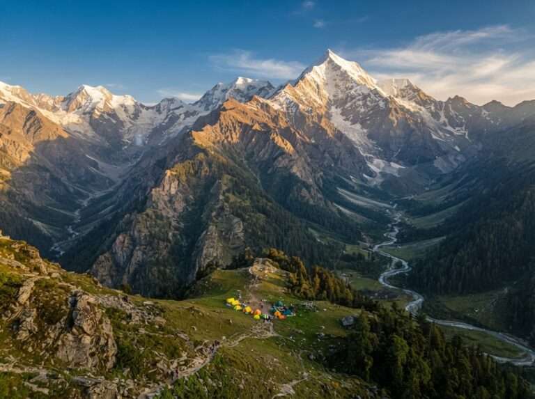
This trek takes you to the base of Deo Tibba, a 6,001 m peak, without needing any technical climbing. From Jagatsukh the trail climbs through Khanol and Chika to the wide meadows of Seri and Tainta, where the mountain fills the skyline. Five to six days lets you acclimatise properly and soak in the high camps. It is a step up from Beas Kund or Bhrigu in both length and height, so come with some trekking behind you. June to October is the season. [VERIFY: Deo Tibba Base Camp distance – 24 km may be one-way (Khanol/Jagatsukh to base camp); if so the round-trip is longer. Confirm whether the figure is one-way or round trip vs operators.]
| Difficulty | Moderate |
| Max altitude | 4,480 m (14,700 ft) |
| Distance | 24 km |
| Days | 5-6 |
| Base / trailhead | Jagatsukh (Khanol) |
| Best months | Jun-Oct |
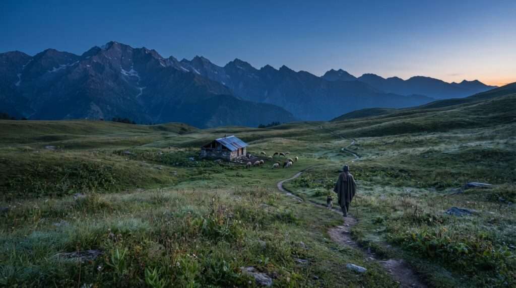
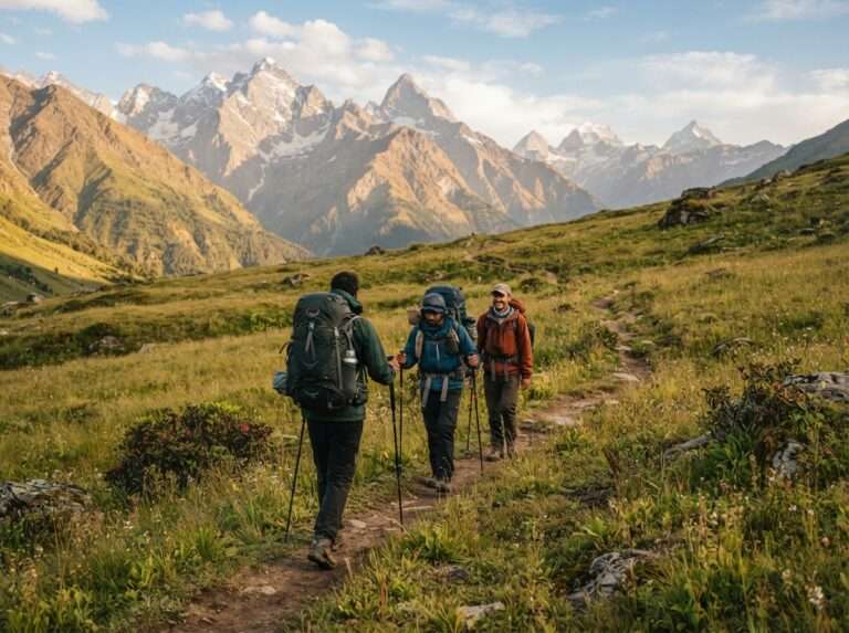
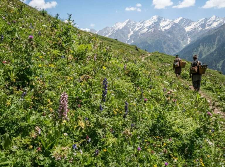
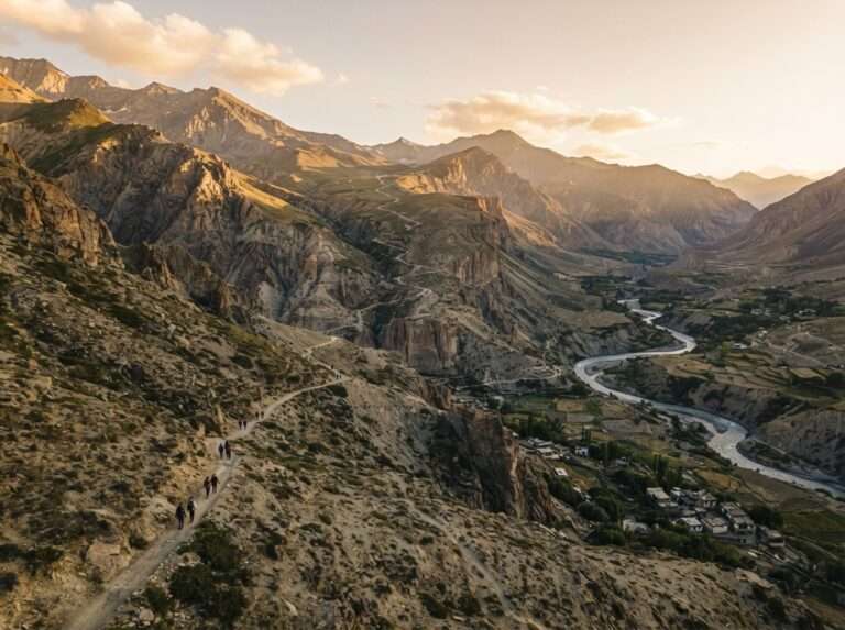
The Hamya Herbal trek is the quiet, lesser-known long option near Manali, threading high meadows famous among locals for their medicinal plants. Because few groups run it, the trail stays wild and you are unlikely to meet crowds. It is a longer commitment of six to eight days and rewards trekkers who want solitude over a marquee name. Go in the clear summer and early-autumn months, and take a guide who knows the route, as signage is minimal and the trail braids in places. [VERIFY: Hamya Herbal trailhead – Pandu Ropa may be a high meadow/campsite rather than the motorable roadhead; confirm the actual road-accessible start point.]
| Difficulty | Moderate |
| Max altitude | 4,270 m (14,000 ft) |
| Distance | around 30 km |
| Days | 6-8 |
| Base / trailhead | Pandu Ropa |
| Best months | Jun-Sep |
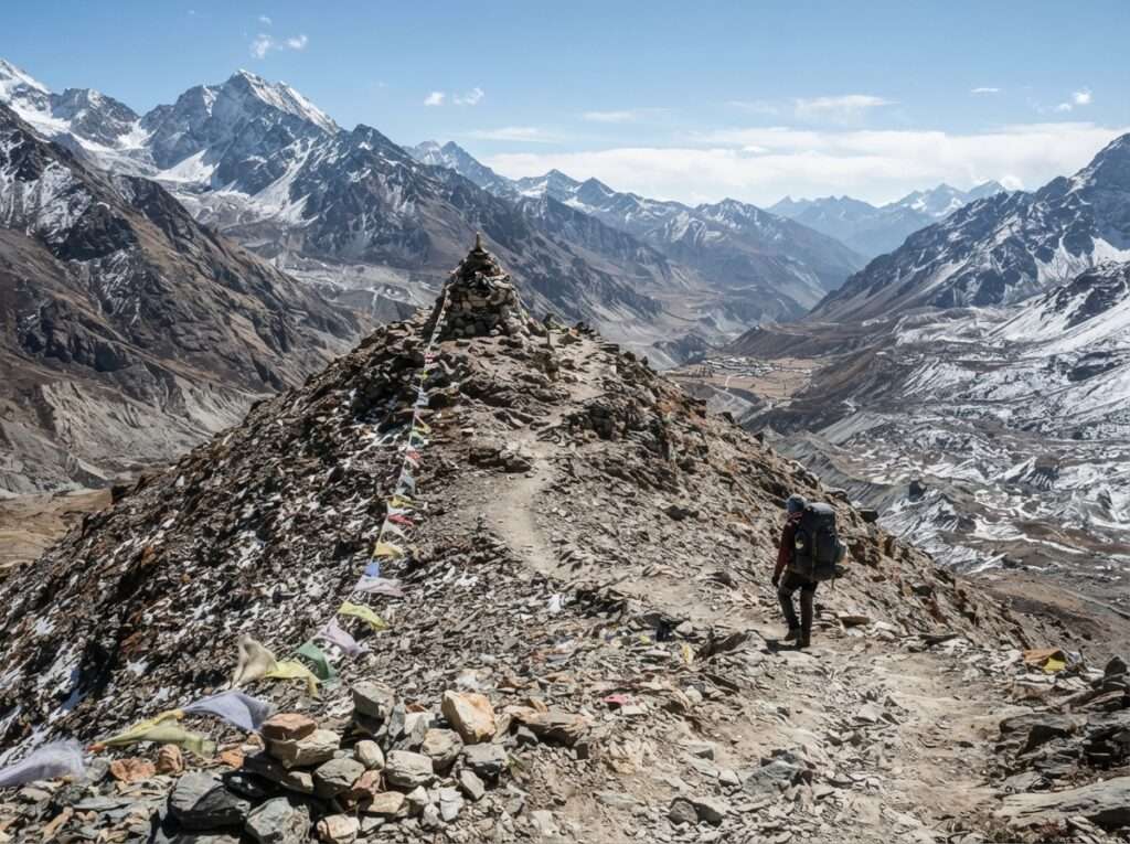
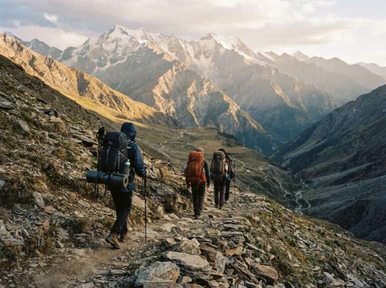
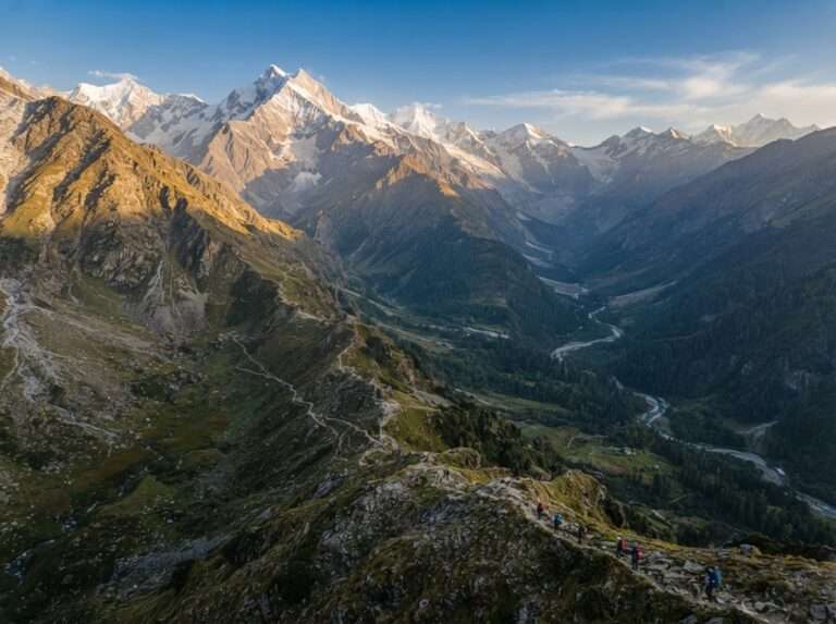
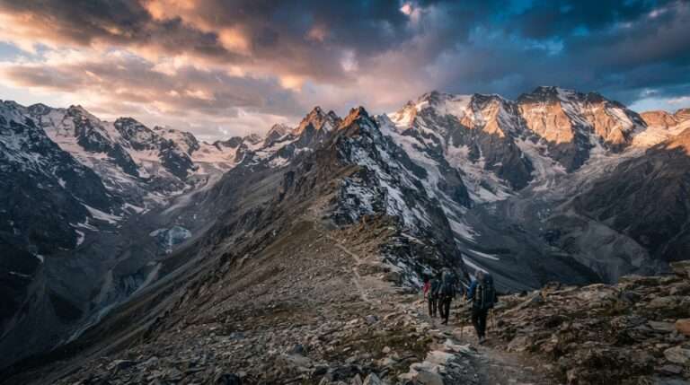
Bara Bhangal is one of the toughest and most remote treks starting from Manali, crossing the high Kalihani Pass to reach a shepherd village cut off from the road for most of the year. The route climbs from the Lama Dugh meadows over glaciers and moraine before the long descent to Bara Bhangal, then continues as a one-way crossover over Thamsar Pass toward Bir/Billing on the Kangra side. Expect nine to eleven days of hard walking with real river crossings and no bail-out points. It is strictly for seasoned trekkers with a strong support team, and the season is a narrow July to September.
| Difficulty | Difficult |
| Max altitude | 4,800 m (15,750 ft) |
| Distance | ~80-90 km one-way |
| Days | 9-11 |
| Base / trailhead | Manali to Bir/Billing |
| Best months | Jul-Sep |
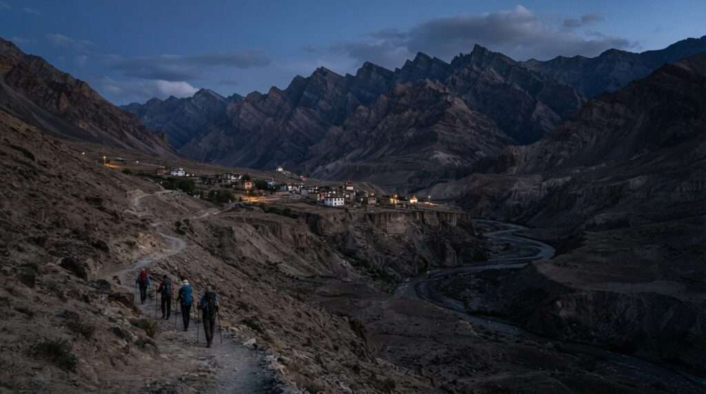
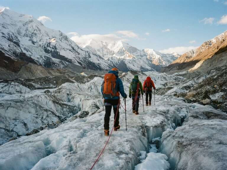
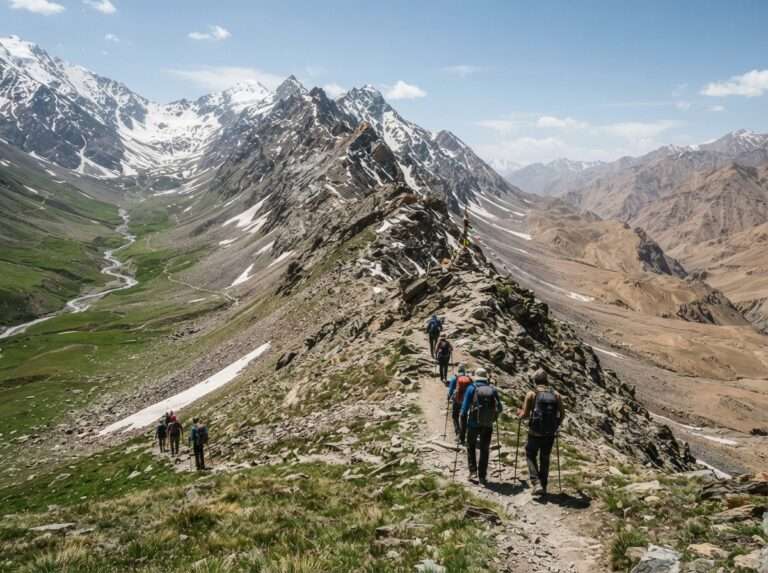
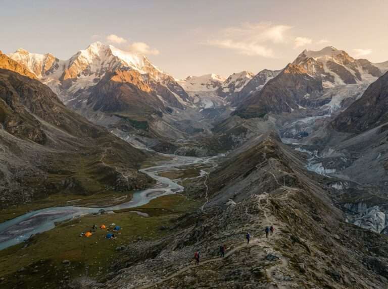
Pin Parvati Pass is the classic high crossing that links the green Parvati Valley with the desert of Pin in Spiti, a one-way crossover ending at Mudh, topping out at 5,319 m. Over nine to twelve days you pass Kheerganga, cross glaciers and camp at Mantalai before the steep, exposed climb to the pass itself. This is a serious expedition with glacier travel, high-altitude camps and a real commitment once you are past the point of no return. Only experienced trekkers with a strong guided team should attempt it, and only in the short July to September window.
| Difficulty | Difficult |
| Max altitude | 5,319 m (17,450 ft) |
| Distance | ~110 km one-way crossover |
| Days | 9-12 |
| Base / trailhead | Barshaini to Mudh (Spiti) |
| Best months | Jul-Sep |
Most Manali treks follow the same planning path whether you pick a half-day waterfall walk or a high pass. Work through these six steps before you go.
Manali is the hub for almost all of these treks. The nearest airport is Kullu-Bhuntar, about 50 km south, with onward taxis and buses to town. By road, overnight Volvo buses run from Delhi (about 12 to 14 hours) and Chandigarh, and self-drivers take the NH3. From Manali, shared taxis and local buses reach the individual trailheads: Solang for Beas Kund and Patalsu, Gulaba for Bhrigu, Jobra for Hampta Pass, Naggar for Chandrakhani, and Barshaini in the Parvati Valley for Kheerganga and Pin Parvati.
Domestic trekkers do not need a special permit for most Manali trails, but a few areas are regulated. Crossing to Lahaul, Spiti or Chandratal via the Atal Tunnel needs no Rohtang permit; the online Rohtang permit is only for vehicles driving over Rohtang Pass itself, and the protected ground around Chandratal and some forest and wildlife zones carry their own rules and small fees, so check the current position with your operator or the HP Forest Department before you set off. On the trail itself, the basics save lives: check the forecast, never trek a high pass alone, acclimatise before you gain serious height, keep hydrated, watch for signs of altitude sickness and turn back if the weather closes in.
Pick the trail that fits your fitness and the days you have, not the one with the biggest altitude number. A beginner who enjoys Jogini or Lama Dugh in good weather has a better trip than one who over-reaches on a high pass. Match the season to the trek, train for the grade and give altitude the respect it demands. When you are ready to walk, our Manali trekking packages cover guides, permits and gear for most of these routes, our Himachal trekking packages widen the choice across the state, and the Himachal travel guide helps with everything around the trek itself.
Jogini Waterfall is the easiest short walk, a half-day trip from Vashisht that most people manage without any trekking background. If you want a little more, Lama Dugh above Manali and Bijli Mahadev near Kullu are both doable in a day and reward you with wide valley views. For a weekend, Kheerganga in the Parvati Valley and Prashar Lake above Mandi are the popular short overnights.
Hampta Pass is the most loved first high-altitude trek because the gradient is forgiving and the scenery changes dramatically as you cross into Lahaul. For a gentler start, Beas Kund, Bhrigu Lake and Chandrakhani Pass are all moderate treks that beginners with basic fitness complete comfortably in two to three days with a guide. Build up on an easy walk like Jogini or Lama Dugh first.
Pin Parvati Pass is the highest at 5,319 m, a nine to twelve day expedition that crosses from the Parvati Valley into Spiti and is only for experienced trekkers. Among the more accessible routes, Deo Tibba Base Camp reaches about 4,480 m and Bhrigu Lake and Hampta Pass both top out near 4,300 m, which is high enough that acclimatisation matters.
For Hampta Pass, drive about 15 km from Manali to Jobra near the Prini and Sethan road, which is where the trek begins. For Bhrigu Lake, head up the Rohtang road to Gulaba, roughly 22 km from Manali, and start the climb from the meadows there. Shared taxis and local buses run to both, and most guided treks include the transfer from town.
Cost depends on the trek, its length and whether you go guided. Short walks like Jogini can be done for the price of a local taxi, while a guided two to three day trek such as Beas Kund typically runs from roughly Rs 3,000 to 6,000 per person. Long expeditions like Pin Parvati or Bara Bhangal cost more, from around Rs 30,000 upward, as they need porters, guides and many days of supplies.
March to June is the best all-round window, with pleasant weather and blooming meadows for the easy and moderate treks. The high passes such as Hampta and Pin Parvati are safest from June to September once the snow clears, while September and October give the clearest mountain views. Avoid the high passes during peak monsoon in July and August, when trails get slippery and landslide-prone.
Most Manali treks need no special permit for Indian trekkers, but a few zones are regulated. Only vehicles driving over Rohtang Pass itself need the online Rohtang permit (the Atal Tunnel route to Lahaul/Spiti/Chandratal needs none), the protected area around Chandratal has its own rules, and some forest and wildlife stretches carry small fees. Rules change season to season, so confirm the current requirements with your operator or the HP Forest Department before you set out.
Yes. Registered operators run guided treks for most routes, including Hampta Pass, Beas Kund, Bhrigu Lake, Deo Tibba, Pin Parvati and Bara Bhangal. Short walks like Jogini and Lama Dugh can be done independently, but for anything above Beas Kund a guide is strongly advised: route-finding, weather judgement and altitude management are hard to get right without experience, and many high trails have no phone signal for days.
Check the weather before you start and turn back if it deteriorates. Acclimatise before gaining serious height, stay hydrated, and learn the early signs of altitude sickness so you can descend in time. Wear broken-in boots and layered clothing, watch your footing on wet or loose ground, and never attempt a high pass alone. On remote routes, trek with a guide and carry a basic first-aid kit.
In summer, Hampta Pass, Beas Kund, Bhrigu Lake and Deo Tibba are the standout treks, all walking through green meadows and over recently cleared snow. For winter snow trekking, lower routes such as Prashar Lake and short walks around Solang hold snow from December, but the high passes are closed and any winter trek should be done with a guided, well-equipped group.
Real reviews from real travelers who booked with us.
View All Reviews