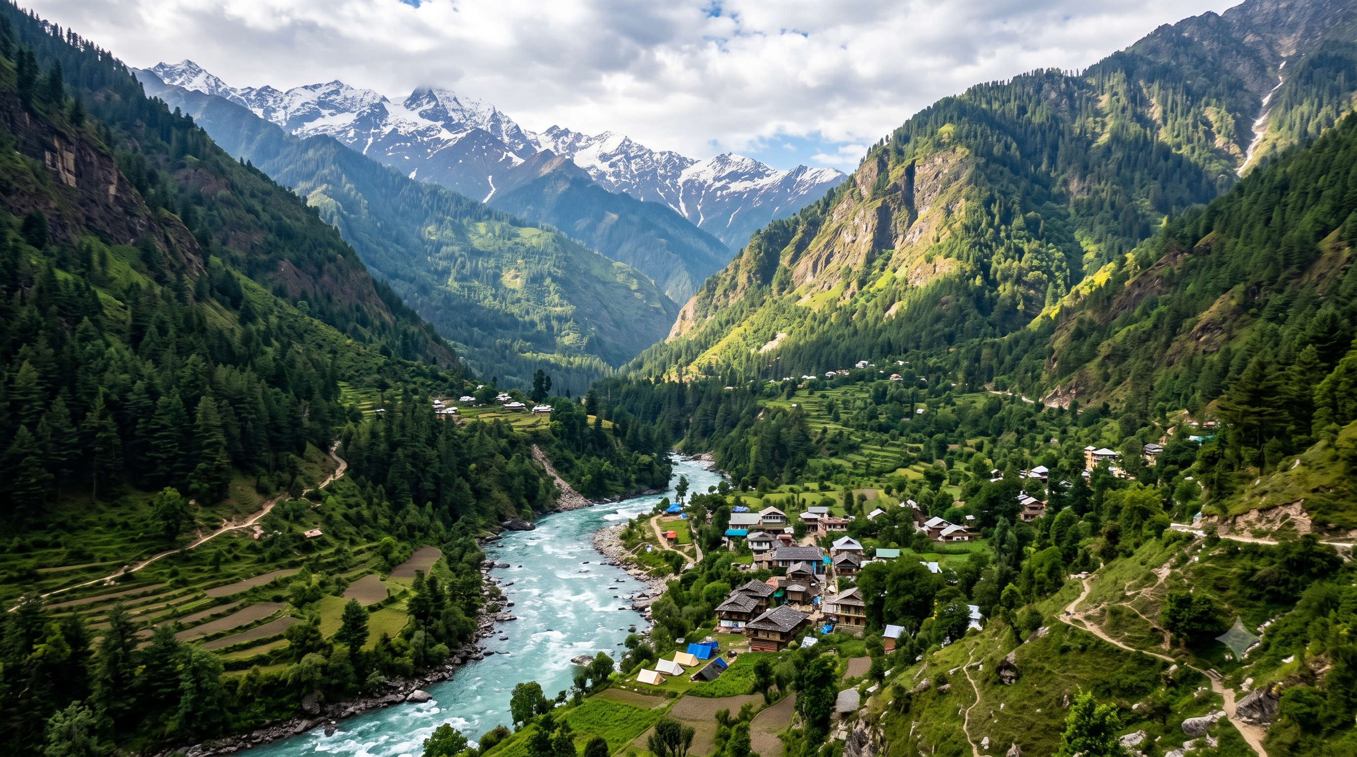

Kheerganga Trek: Witness The Most Beautiful Route
The Kheerganga trek is the walk that finally gives Parvati Valley its payoff: a 12 km climb through pine forest, past a thundering waterfall and a village that time forgot, ending at a green meadow with a steaming natural hot spring at roughly 2,960 m. It is the most-loved short trek out of Kasol, and for good reason. You can start after breakfast, camp under the stars, soak in the sacred spring at dawn and be back the next afternoon. This guide covers the exact route and distance, the best time to go, a day-by-day itinerary, how to reach the trailhead at Barshaini, where to camp, what it costs and every question first-timers ask before they lace up.
One thing to clear up first, because search engines and travellers get it wrong constantly. Kheerganga is in Himachal Pradesh, not Uttarakhand. It sits deep inside the Parvati Valley, above Kasol and Manikaran, in Kullu district. Now, to the trek.
Best Time
March - June
Select Package Type
Kheerganga Trek at a Glance
Here is the quick-facts snapshot before the detail. Everything below is expanded further down the page.
| Detail | Information |
| Trek | Kheerganga Trek, Parvati Valley |
| Location | Kullu district, Himachal Pradesh (above Kasol) |
| Trek distance | About 12 km one way (about 24 km round trip) |
| Trek duration | 4 to 6 hours ascent; 2 days / 1 night is the classic plan |
| Maximum altitude | About 2,960 m (about 9,700 ft) at the Kheerganga meadow |
| Starting point | Barshaini (road-head); trail via Nakthan or via Kalga-Pulga |
| Difficulty | Easy to moderate; beginner-friendly with basic fitness |
| Base town | Kasol (with Tosh, Manikaran and Bhuntar nearby) |
| Best time | Mid-March to June, and mid-September to mid-November |
| Highlight | Natural hot-water spring and open meadow at the top |
| Permit | No formal trekking permit; register at the Barshaini/Kasol police check post |
Where Is Kheerganga? Himachal, Not Uttarakhand
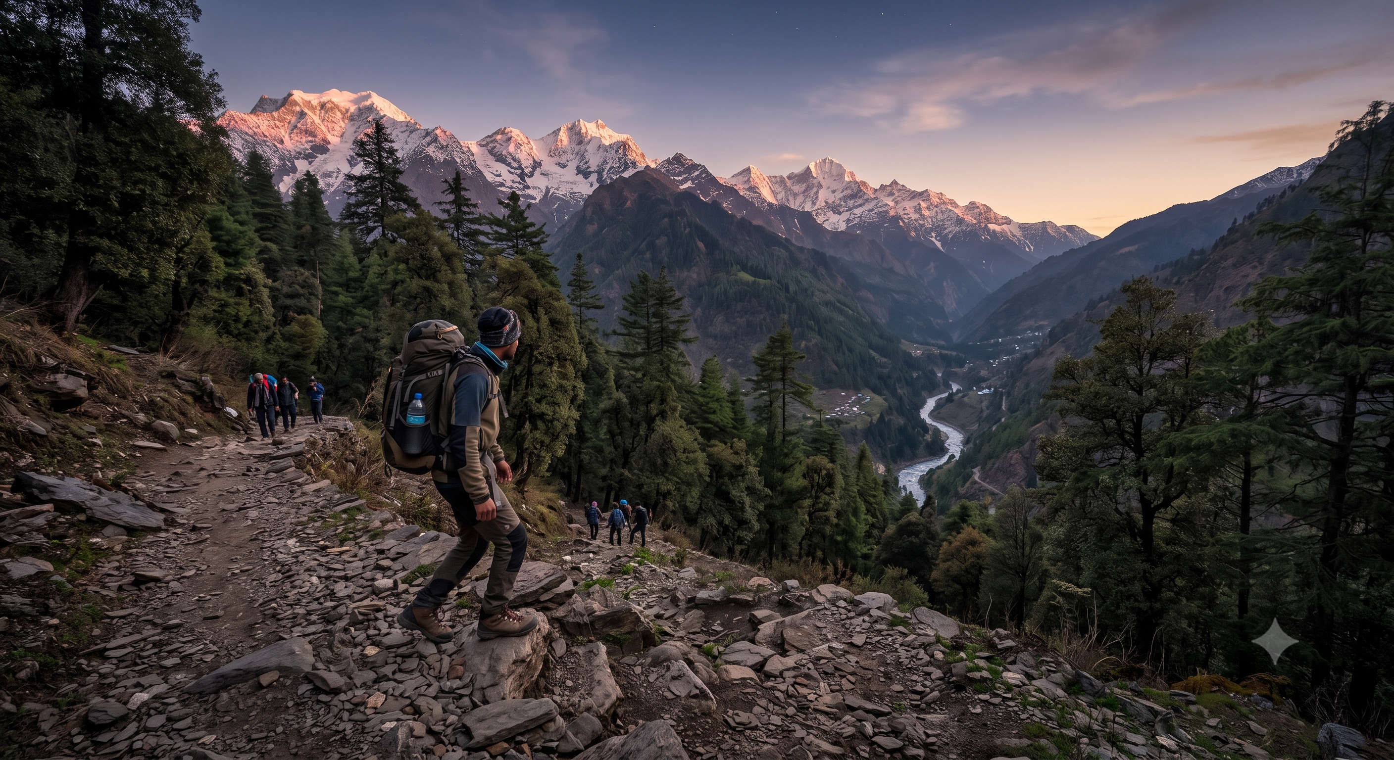
A large share of people searching for this trek type Kheerganga Uttarakhand, or confuse it with a river in the Garhwal Himalayas. So let us fix the map. The Kheerganga you trek to, the one with the hot spring and the meadow, is in the Parvati Valley of Himachal Pradesh. The nearest well-known town is Kasol, roughly 22 km away by road; the trailhead is Barshaini village. Manikaran, famous for its gurudwara and its own hot springs, sits between Kasol and Barshaini.
So when you plan flights and cabs, aim for Bhuntar (Kullu-Manali airport) or Delhi to Kasol, all inside Himachal Pradesh. There is no Kheerganga trek in Uttarakhand.
Read the first-timer’s guide to Kasol before you go, and skim our Parvati Valley overview for the wider region.
Why Do the Kheerganga Trek?
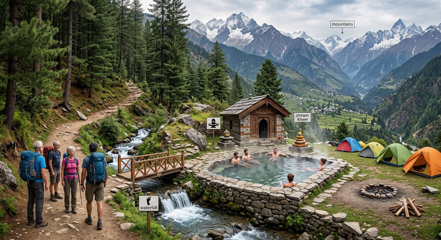
Most short Himalayan treks give you either the forest or the view. Kheerganga gives you both, plus a reward you cannot get anywhere else nearby.
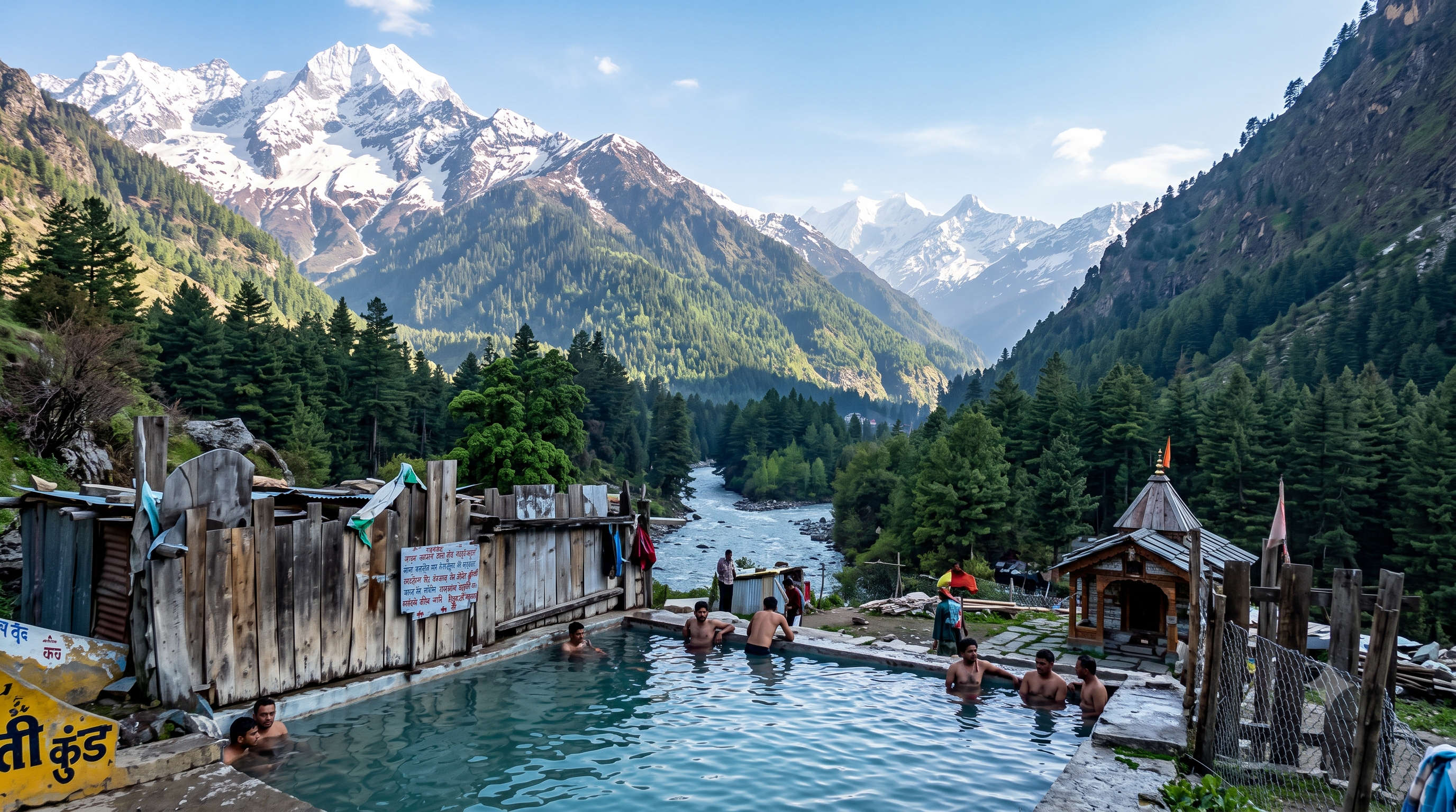
- The hot spring: a natural sulphur hot-water pool at the top, considered sacred, where you soak with a full valley view after the climb. The stone bathing tank fed by it, Parvati Kund, has separate sections for men and women, and pilgrims treat a dip here as holy.
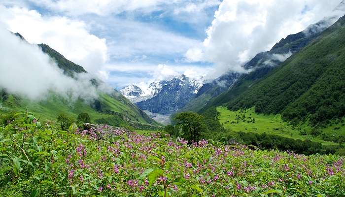
- The meadow: a wide green clearing at about 2,960 m where camps are pitched, ringed by snow peaks. Sunrise here is the reason most people stay the night.
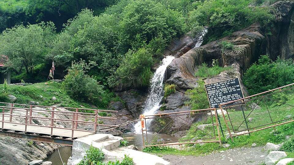
- The forest walk: pine and deodar, the Parvati river roaring below, and the Rudra Nag waterfall shaped like a coiled snake, roughly the halfway mark.
- It is short and beginner-friendly: no technical skill, no long acclimatisation, doable in a weekend from Delhi or Chandigarh.
- The Parvati Valley culture: Nakthan, Kalga and Tosh are old wooden Himachali hamlets, and the cafe trail through Kasol and Chalal is a scene in itself.
Why Is It Called Kheerganga?
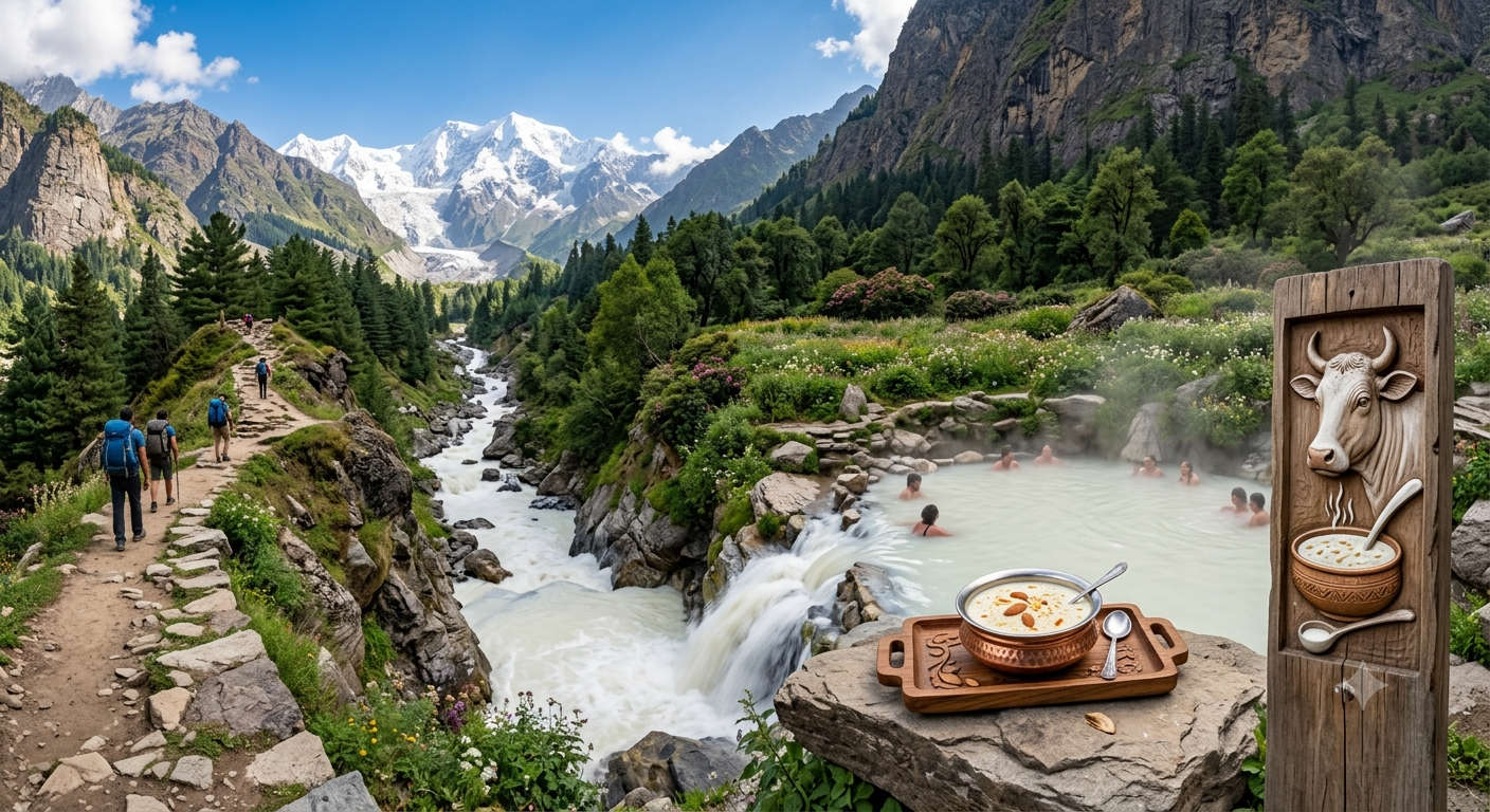
The name blends kheer (the Indian rice pudding) and Ganga (a holy stream), and the local legend explains both. Parvati Valley itself is named for the goddess Parvati, and villagers say Lord Shiva meditated in these mountains for thousands of years while she stayed nearby. Their son Kartikeya is also said to have meditated at this very spot. The story goes that the mineral-rich hot water once ran milky-white like kheer, giving the sacred stream its name. Whether or not you follow the myth, it is why the hot spring is treated as a pilgrimage site, not just a soak after a long walk.
Best Time for the Kheerganga Trek
The Kheerganga trek runs across three usable seasons, and the meadow is snowbound in deep winter. The sweet spots are late spring (mid-March to June) and post-monsoon autumn (mid-September to mid-November), when the trail is dry, the skies are clear and the crowds are thinner than peak summer. Temperatures below are approximate for the higher trail and the meadow, which is always colder than Kasol down in the valley.
| Season | Months | Approx day / night temp | What to expect |
| Spring / early summer | Mid-March to June | 15 to 22 C day / 2 to 8 C night | Best overall. Melting snow near the top early on, blooming forest, pleasant days. Peak footfall in May-June. |
| Monsoon | July to mid-September | 15 to 20 C day / 8 to 12 C night | Avoid if you can. Heavy rain, slippery trail and real landslide risk on the Parvati road. Leeches on the forest stretch. |
| Autumn | Mid-September to mid-November | 10 to 18 C day / 0 to 5 C night | Excellent. Clear mountain views, dry trails, crisp air, fewer people. The connoisseur’s window; nights turn freezing by late autumn. |
| Winter | Late November to February | 0 to 8 C day / well below 0 at night | Snow trek only. The meadow and upper trail get heavy snow, most camps shut, and the spring area can be cut off. For experienced winter trekkers with a guide. |
If you want the hot spring with snow around the meadow, target March or early April. If you want the easiest walk and the clearest skies, target October.
Kheerganga Trek Route and Distance
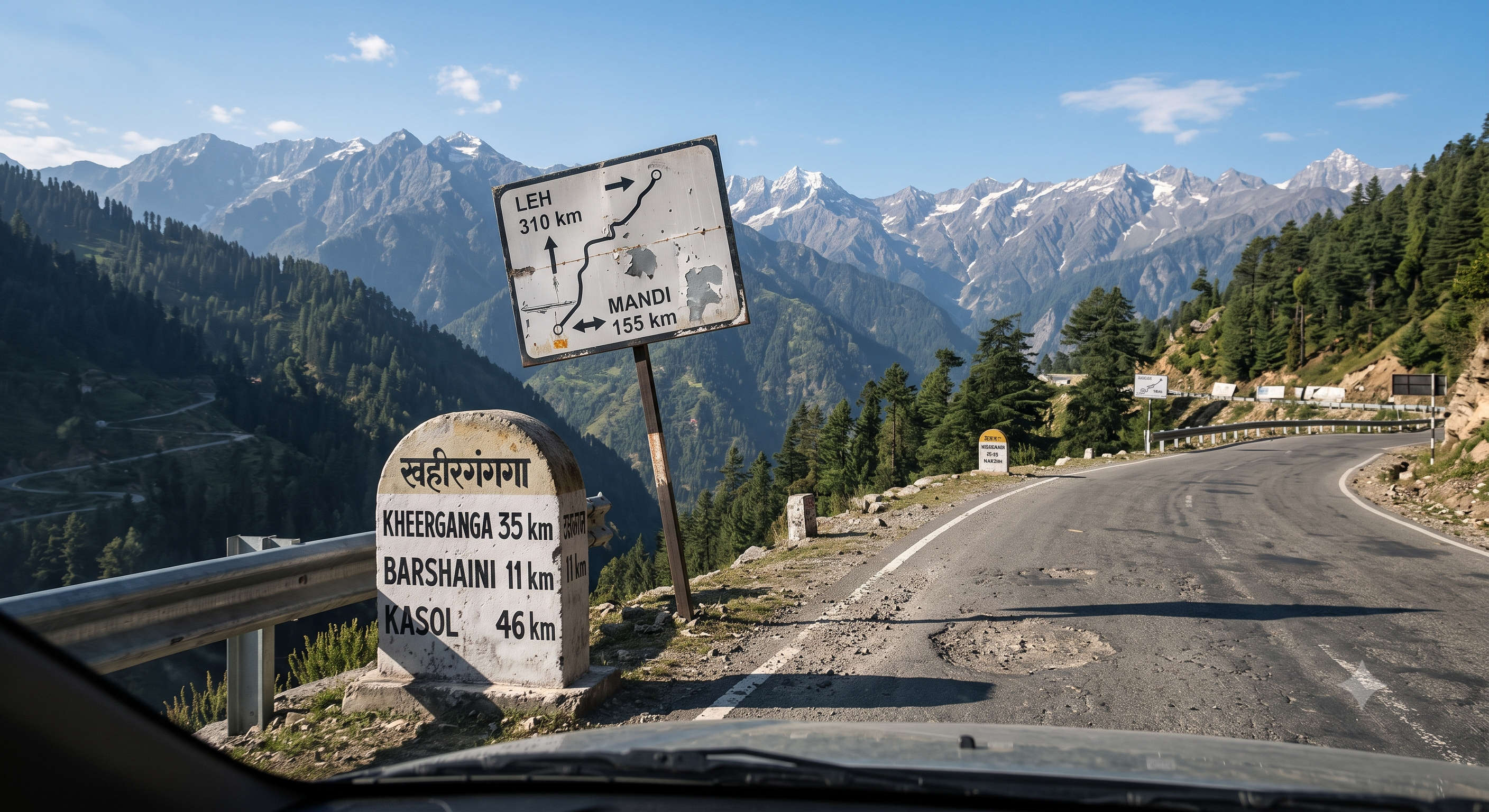
The Kheerganga trek is about 12 km one way from Barshaini, which makes it roughly 24 km round trip. There are two trails from Barshaini, and they meet before the final push. Most trekkers go up one way and return by the other.
Route 1: Barshaini to Kheerganga via Nakthan and Rudra Nag (popular)
This is the classic line. It crosses the bridge at Barshaini, climbs to Nakthan village, passes the Rudra Nag waterfall and then grinds up the final forested switchbacks to the meadow. It is the more scenic and slightly gentler start.
| Stage | Distance | Terrain and notes |
| Barshaini to Nakthan | About 3 km | Gentle to moderate. Cross the bridge, follow the Parvati river, reach Nakthan village (tea stops, last easy resupply). |
| Nakthan to Rudra Nag | About 4 km | Moderate forest walk to the snake-shaped Rudra Nag waterfall, the natural halfway rest. |
| Rudra Nag to Kheerganga | About 5 km | The steep part. Continuous switchback climb through dense forest to the open meadow and the hot spring. |
| Total (one way) | About 12 km | 4 to 6 hours depending on pace, weather and acclimatisation. |
Route 2: Barshaini to Kheerganga via Kalga and Pulga (quieter)
The alternative starts on the opposite bank, climbing through the old villages of Kalga and Pulga before joining the main trail. It is a touch quieter and equally beautiful, and many trekkers descend this way to make a loop. Distance is similar, about 11 to 12 km.
Alternate base: the Kasol to Tosh to Kheerganga plan
A lot of trekkers stitch Kheerganga into a longer Parvati itinerary by basing a night in Tosh, the cliffside hippie village up a side branch from Barshaini. Tosh is not on the Kheerganga trail itself; you still start the trek from Barshaini. But it makes a scenic acclimatisation base, and the popular Kasol to Tosh to Kheerganga loop lets you warm up your legs, sleep higher, and hit the trail fresh the next morning. If you have a spare day, spend the first night in Tosh, the second at the Kheerganga meadow, and come down on day three.
Whichever line you pick, the trail is well-trodden and dotted with dhabas in season, so you will not get lost. Food and water are easy on the way up: tea-and-Maggi dhabas at Nakthan, near Rudra Nag and at the meadow itself sell hot food, bottled water and snacks, so you do not need to haul heavy supplies. In shoulder season carry the camping-in-Kasol notes and download an offline map, because mobile network drops after Barshaini.
Kheerganga Trek Starting Point
The trek starts at Barshaini, the last motorable point in the upper Parvati Valley, about 22 km beyond Kasol. Barshaini has a small parking area, a few shops and the police check post where you register your name before starting. From here the trail splits: the right bank leads to Nakthan and Rudra Nag, the left bank to Kalga and Pulga, and a third branch climbs to Tosh. If you are hiring a local guide or porter, Barshaini is where you arrange it.
How Difficult Is the Kheerganga Trek?
The Kheerganga trek is rated easy to moderate. There is no technical climbing, no glacier and no rope work. The challenge is simply the sustained uphill on the final Rudra Nag to Kheerganga stretch, which climbs steadily for a few hours. Anyone with basic fitness who can walk 5 to 6 hours with breaks can finish it, which is why families, first-timers and college groups love it.
- Fitness prep: 2 to 3 weeks of daily walking or light jogging makes the climb comfortable.
- Altitude: at about 2,960 m, acute mountain sickness is uncommon but not impossible. Walk slow, hydrate and do not rush the last stretch.
- Footwear: proper trekking shoes with grip matter more than anything else, especially on the descent.
- Trail underfoot: mostly a clear path, with rocky and root-tangled sections in the forest and possible mud or snow patches in shoulder season.
Kheerganga Trek Itinerary
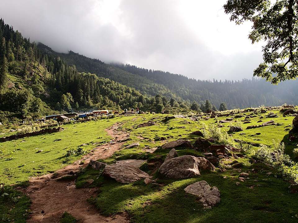
The trek is usually done as a 2-day, 1-night plan with an overnight camp at the meadow. Fit trekkers who start early can also do it as a long single day. Here is the classic version, plus the one-day option.
Day 1: Kasol / Barshaini to Kheerganga (about 12 km, 4 to 6 hours)
Drive from Kasol to Barshaini in the morning (about 45 minutes to an hour). Register at the check post, then begin the climb via Nakthan and Rudra Nag. Break at the waterfall, refuel at a dhaba, and push up the final switchbacks to reach Kheerganga by afternoon. Soak in the hot spring, warm up with chai and a plate of Maggi, and settle into your camp. Nights are cold even in summer, so layer up for the sunset and the star field.
Day 2: Kheerganga to Barshaini, drive back (about 12 km down)
Wake for sunrise over the meadow, take a second dip in the spring if you like, then start the descent after breakfast. Going down is faster, roughly 3 to 4 hours, and many trekkers return via the Kalga-Pulga trail for variety. Reach Barshaini by afternoon and drive back to Kasol, or on to Bhuntar and Delhi.
One-day option (for fit, early starters)
If you cannot spare a night, start from Barshaini by 7 am, reach the top by around noon, spend an hour at the spring and descend before dark. It is doable but tiring, and you miss the sunrise, which is the best part. If you can, stay the night.
How to Reach Barshaini (the Trailhead)
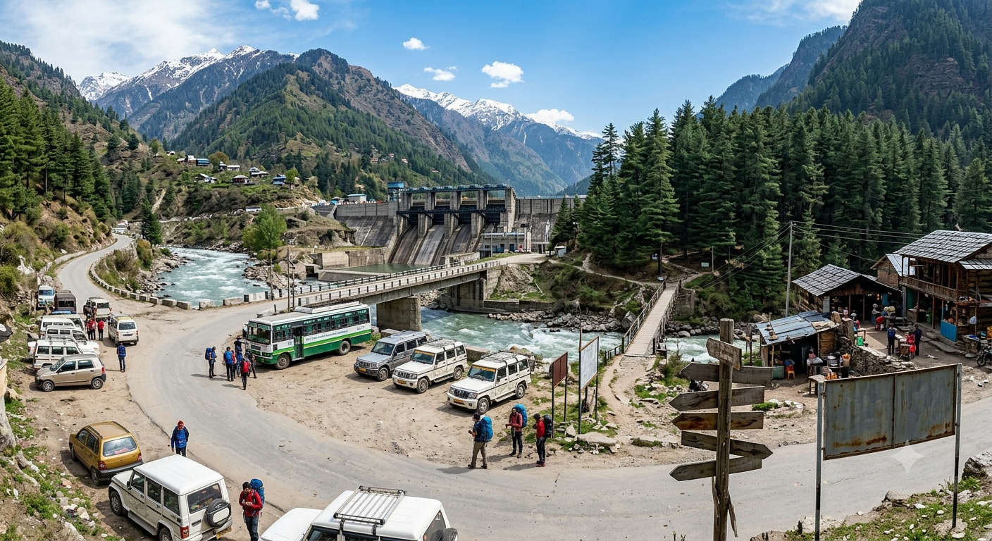
Barshaini is reached through Kasol, which is the hub for the whole Parvati Valley. Here are the standard approaches; road distances are the commonly cited figures.
| From | Distance to Kasol | How |
| Delhi | About 520 km | Overnight Volvo bus to Bhuntar (10 to 12 hours), then local cab or bus to Kasol. |
| Chandigarh | About 280 km | Bus or cab to Bhuntar, then on to Kasol via the Manikaran road. |
| Bhuntar (Kullu-Manali airport) | About 32 km | Nearest airport. Shared cab or bus up the Parvati road through Manikaran. |
| Manali | About 75 km | Cab or bus via Bhuntar. |
| Kasol to Barshaini | About 22 km | Local cab or bus, roughly 45 to 60 minutes; the road-head where the trek starts. |
Planning the drive up? Our Delhi to Kasol road trip guide maps the full route and stops.
Camping and Where to Stay at Kheerganga
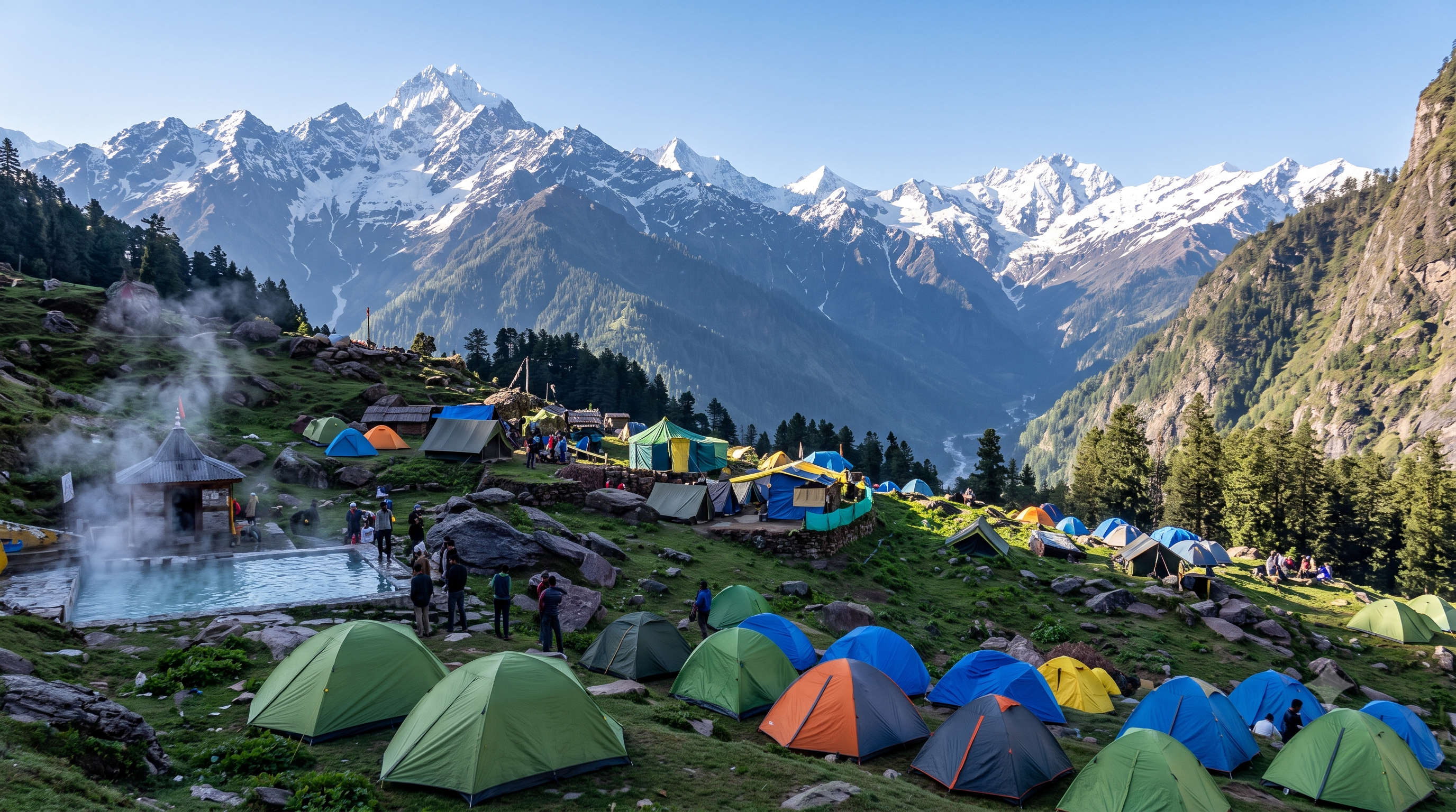
There are no permanent hotels at Kheerganga itself; the meadow is a camping zone. In season (roughly April to November) tent operators set up dome tents with mattresses, blankets and a shared kitchen serving hot meals. You do not need to carry your own tent unless you want to. Because open-ridge camping and construction near the spring are regulated by the forest authorities, pitch only at designated camp clusters and follow the operators’ guidance.
- Tent stay at Kheerganga: usually includes tent, sleeping bag or blankets, dinner and breakfast. Book on arrival in shoulder season, or pre-book in peak months.
- In Kasol or Parvati Valley the night before: pick from guesthouses, hostels and riverside camps. See our hotels in Parvati Valley list.
- Barshaini, Kalga and Tosh: a handful of homestays and cafes if you want to start fresh the next morning.
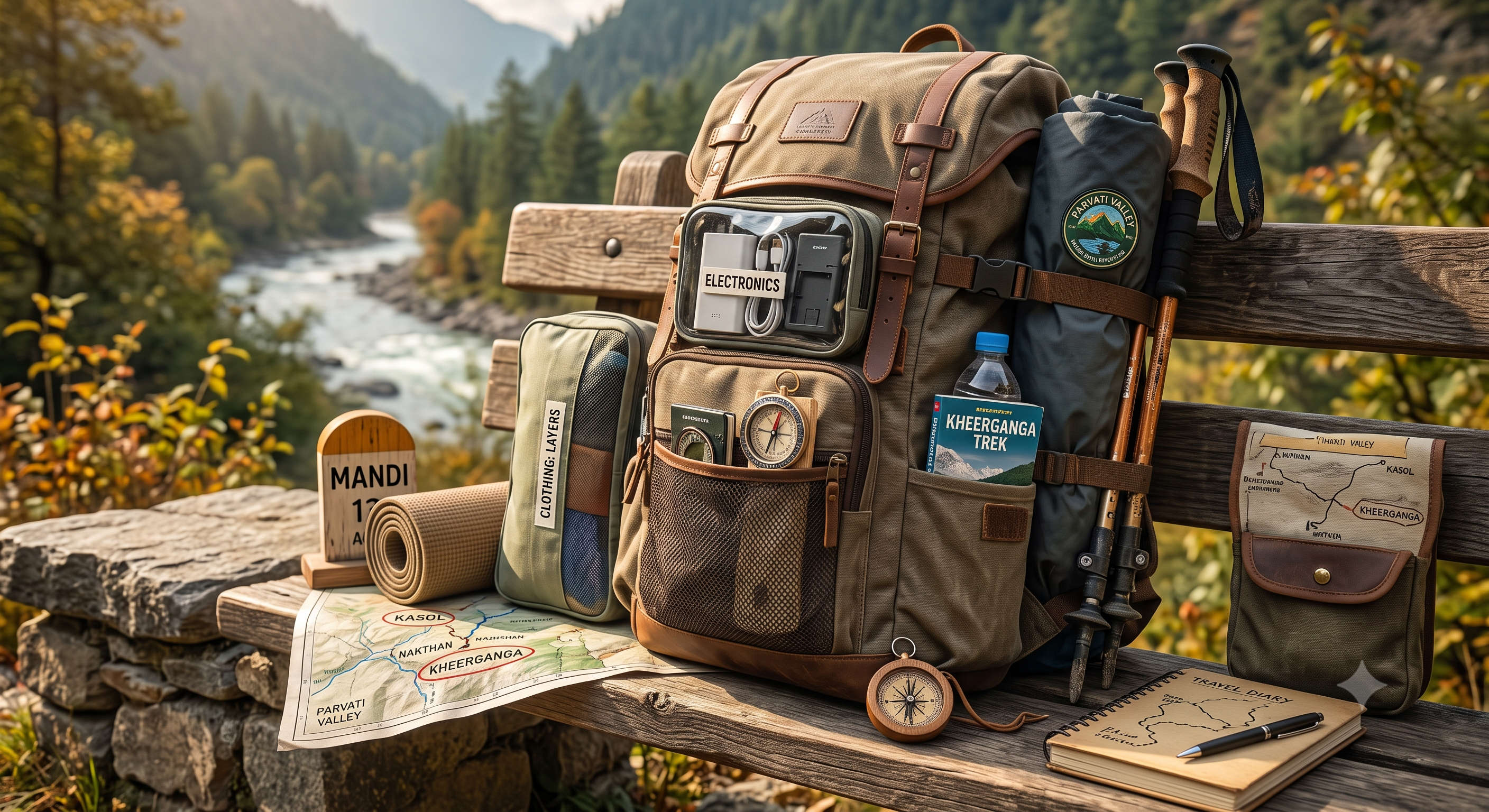
What to Pack for the Kheerganga Trek
- Trekking shoes with good grip, plus a spare pair of socks.
- Warm layers: a fleece and a windproof jacket even in summer; the meadow gets cold at night.
- Rain shell or poncho, especially in shoulder season and monsoon.
- At least 2 litres of water and a reusable bottle; refill from the dhabas and streams.
- Basic first-aid, personal medicines, and a small torch or headlamp.
- Power bank; there is no reliable charging on the trail, and network drops after Barshaini.
- Sunscreen, sunglasses, a cap and a swimsuit or spare clothes for the hot spring.
- A garbage bag: carry all your waste back down. Keep the meadow clean.
Permits, Safety and Responsible Trekking
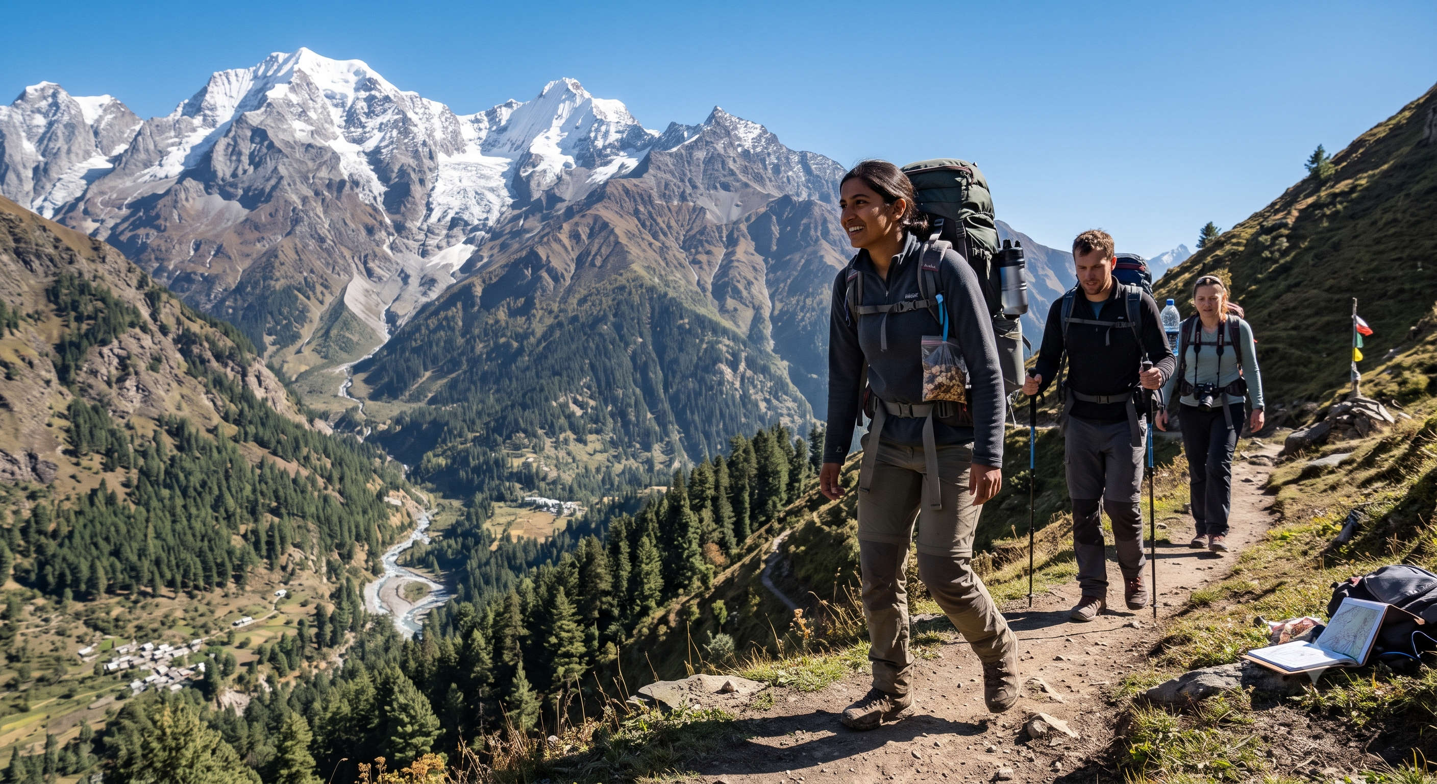
You do not need a special trekking permit for Kheerganga, but you should register your name and details at the police check post in Kasol or at Barshaini before you start. This is for your own safety, so authorities know who is on the mountain. Foreign nationals should carry a passport and follow standard registration norms.
- Trek in daylight; do not attempt the final climb after dark.
- Do not trek alone off-season; go with a group or a local guide in snow months.
- The Parvati Valley has a serious reputation for missing trekkers over the years, almost always linked to going off-trail, trekking alone or substance use. Stay on the marked path and stay sober on the mountain.
- Respect the hot spring and Parvati Kund: it is a sacred site. Follow local etiquette and use the designated bathing areas.
- Carry your trash down. The forest department regulates the meadow; keep it plastic-light.
Kheerganga Trek Cost and Budget

Done independently, the Kheerganga trek is one of the cheapest Himalayan treks you can do. Your main costs are transport to Kasol, the tent stay at the top and food. A guided package from Kasol bundles all of it. The figures below are indicative 2026 bands to help you plan; check current rates before you book.
| Item | Indicative cost (2026) | Notes |
| Kasol to Barshaini cab (shared) | 150 to 250 per person | Cheaper by local bus (around 50). |
| Tent stay at Kheerganga (per night) | 500 to 800 per person | Usually includes dinner and breakfast. |
| Food and chai on the trail | 150 to 400 per day | Dhabas at Nakthan, Rudra Nag and the top. |
| Guided 2-day package from Kasol | 1,800 to 4,000 per person | Includes transport, camp, meals and a guide. |
Want it fully arranged with transfers, camp and a guide? Compare our Himachal trekking tour packages or a wider Himachal tour package to reach the trailhead ready to walk.
Tips for the Kheerganga Trek
- Start early: on the trail by 8 or 9 am so you reach the meadow with daylight to spare.
- Stay the night: the sunrise and the star field are the whole point; do not rush a day trip.
- Acclimatise in Kasol, Tosh or Manikaran the night before if you are coming straight from the plains.
- Carry cash: there are no ATMs past Kasol, and dhabas and camps are cash-only.
- Go light: a 30 to 40 litre daypack is plenty for an overnight; you do not need a heavy load.
- Book camps ahead in peak May-June and long weekends; the meadow fills up.
- Skip the monsoon: the Parvati road is landslide-prone in July and August.
Pair the trek with the rest of the valley using our places to visit in Kasol guide, or read up on the nearby Manikaran hot springs and gurudwara.
Final Word
The Kheerganga trek packs a full Himalayan experience into a single weekend: forest, waterfall, old villages, a meadow at nearly 3,000 m and a hot spring to end it all. It is beginner-friendly, budget-friendly and endlessly rewarding, which is exactly why it has become the signature walk of the Parvati Valley. Pick a dry-season window, start early, camp the night, tread lightly, and let Kheerganga do the rest. If you would rather have the logistics handled, explore our Himachal tour packages and reach the trailhead ready to walk. For a bigger-mountain follow-up, our Spiti Valley trek guide is the natural next step.
Frequently Asked Questions About the Kheerganga Trek
Kheerganga is in Himachal Pradesh, in the Parvati Valley of Kullu district, above Kasol and Manikaran. It is not in Uttarakhand; that is a common mix-up with the Garhwal region.
It is about 12 km one way from Barshaini, or roughly 24 km round trip. The ascent takes 4 to 6 hours depending on your pace and the weather.
The Kheerganga meadow and hot spring sit at about 2,960 m (about 9,700 ft) above sea level.
It is rated easy to moderate. There is no technical climbing; the only real effort is the steady uphill on the final Rudra Nag to Kheerganga stretch. It is beginner-friendly with basic fitness.
Mid-March to June and mid-September to mid-November are the best windows, with dry trails and clear skies. Avoid the July to mid-September monsoon for landslide risk.
The meadow gets heavy snow from late November to February and most camps shut. Winter treks are only for experienced trekkers with a guide and proper gear.
There is no formal trekking permit. You should register your name at the police check post in Kasol or at Barshaini before starting, for safety.
At Barshaini, the last motorable village about 22 km beyond Kasol. From there the trail runs via Nakthan and Rudra Nag, or via Kalga and Pulga.
The name joins kheer (rice pudding) and Ganga (a holy stream). Local legend says Shiva and his son Kartikeya meditated here, and that the mineral-rich hot water once ran milky-white like kheer, which is why the spring is treated as sacred.
Tosh is not on the Kheerganga trail, but it is a popular base a short drive from Barshaini. Many trekkers sleep a night in Tosh to acclimatise, then start the Kheerganga trek from Barshaini the next morning as part of a Kasol-Tosh-Kheerganga loop.
Take an overnight bus to Bhuntar, then a cab or bus to Kasol, and a local cab or bus the final 22 km to Barshaini. Bhuntar (Kullu-Manali airport) is the nearest airport.
Yes. It is one of the most beginner-friendly Himalayan treks, popular with families and first-timers. A couple of weeks of walking practice makes it comfortable.
Signal is patchy and drops soon after Barshaini, so treat the trail as offline. Download an offline map, tell someone your plan, and carry a power bank. There is no reliable charging above Barshaini.
The main trail is well-marked and busy in season, so many people do it solo in the dry months. That said, register at the check post, stay on the marked path, and avoid trekking alone off-season or in snow. Given the valley's history of missing trekkers, a group or local guide is safer.
Yes. In season there are tea-and-Maggi dhabas at Nakthan, near Rudra Nag and at the meadow, selling hot food, snacks and bottled water. Carry at least 2 litres and refill along the way, but you do not need to haul heavy supplies.
Yes. The natural sulphur hot spring and the Parvati Kund bathing tank at the top are the reward for the climb and are considered sacred. Use the designated bathing areas and respect local etiquette.