4D / 3N
17% OFF
4D / 3N
17% OFF
Manali-Kasol Tour Package by Cab for Himachal (4D/3N) - At A Glance
- Hotel
- Meals
- Sightseeing
- Entry Tickets
- Cab Transfer
₹12,688
₹10,500 /pp
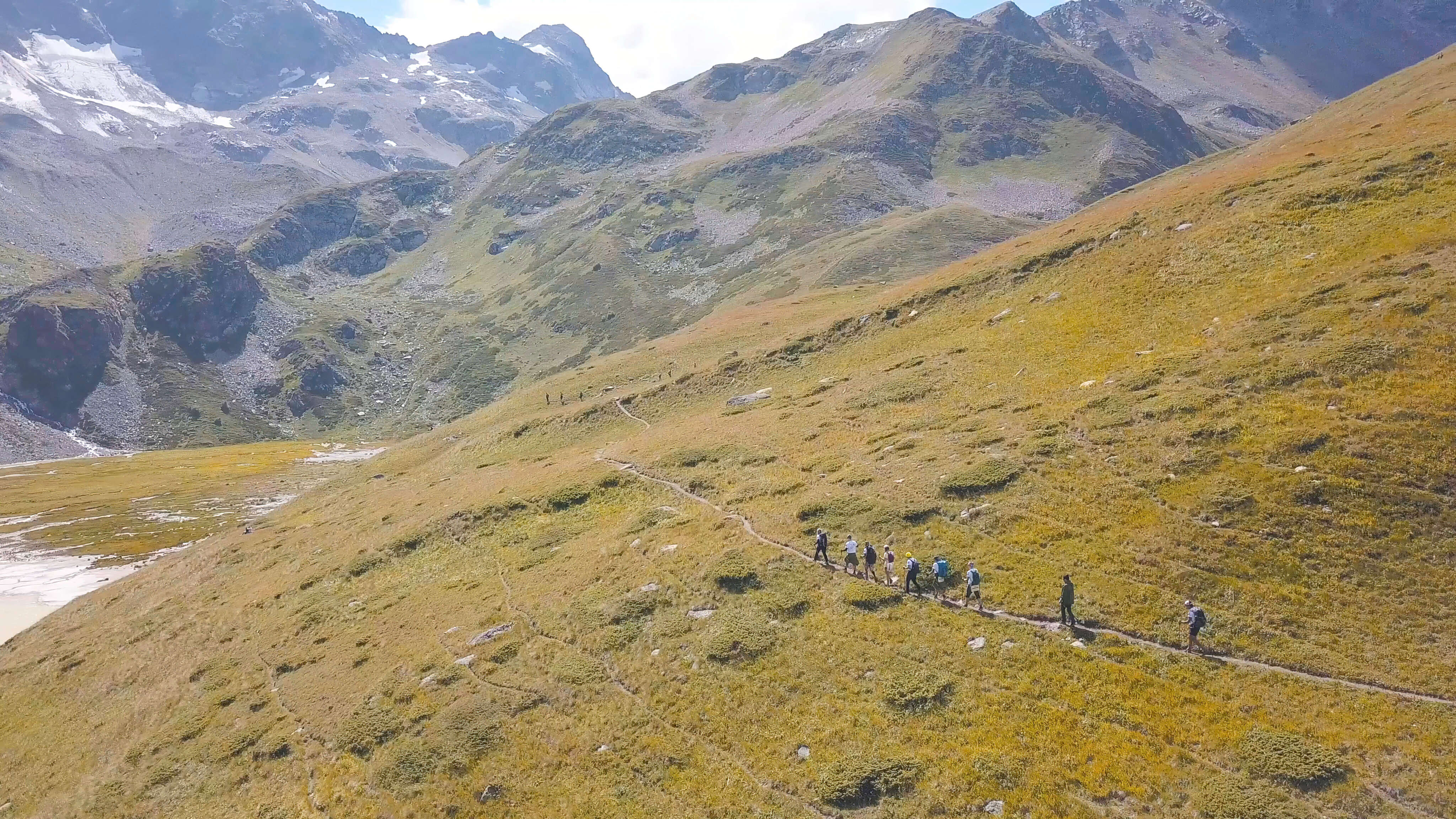


The Hampta Pass trek is a 4 to 5 day crossing of the Pir Panjal range that takes you from the green, forested Kullu valley near Manali over a 14,100 ft (4,270 m) pass into the cold desert of Lahaul and Spiti, in one of the most dramatic single-day landscape changes anywhere in the Himalaya. It is graded easy to moderate, the total walk is about 26 km spread over four trekking days, and the standard route runs Jobra to Chika to Balu Ka Ghera to Siagoru to Chatru, with a road excursion to Chandratal lake tacked on the end. This guide gives you the full stage-by-stage route, the day-by-day and a compact 3-day plan, the real difficulty, the best months, and exactly how to reach the Jobra roadhead from Manali.
Key Takeaways
Best Time
June - September
Select Package Type

3 Days & 2 Nights
₹9,043 /@pp
GET FREE QUOTE

.jpg?tr=w-600,h-300)

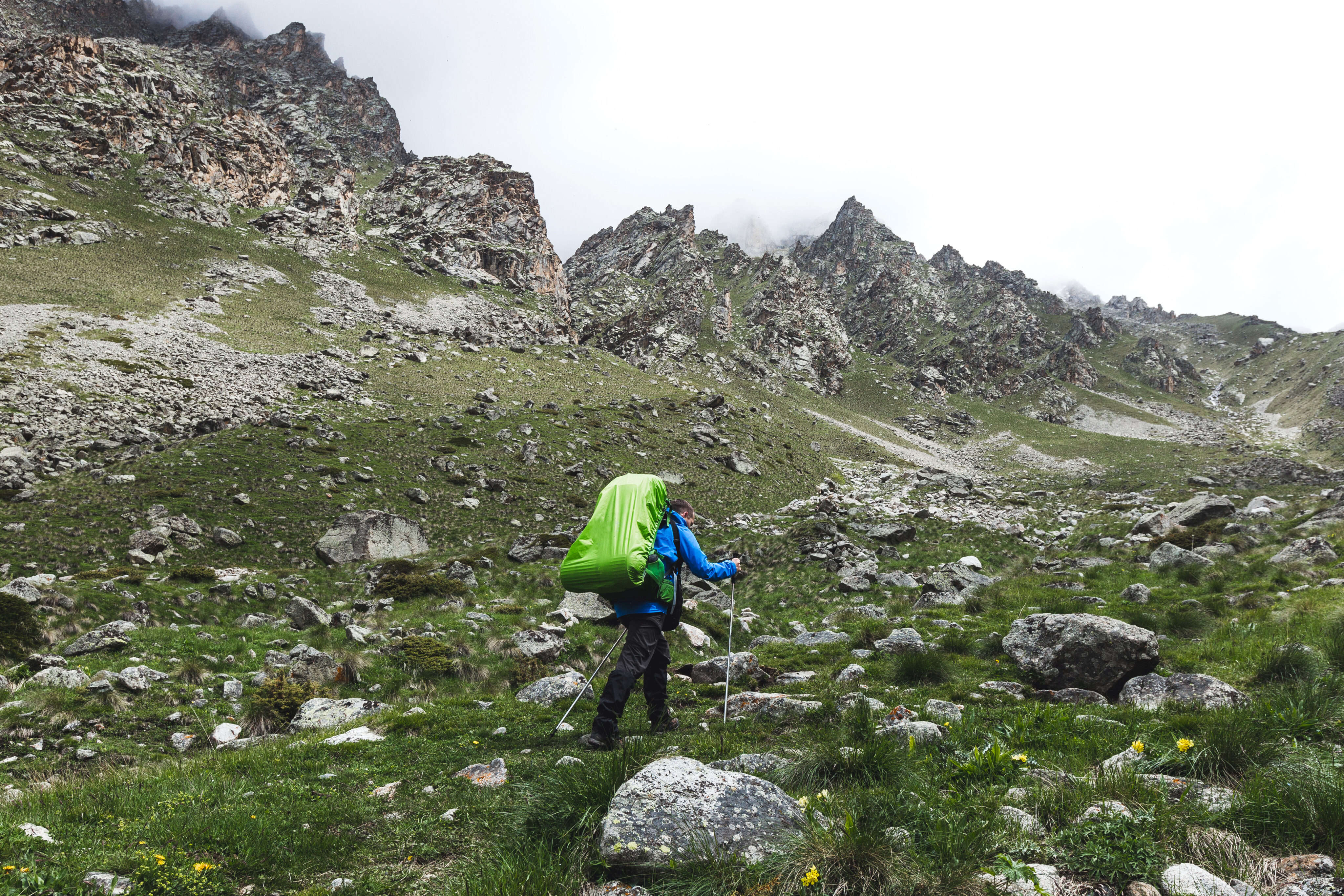
If you read nothing else, this is the whole trek in one table. Every number below is what you actually plan around: how high, how far, how many days and when to go.
| Detail | What to expect |
| Maximum altitude | Hampta Pass, 14,100 ft (4,270 m) |
| Start / roadhead | Jobra (9,800 ft), reached by road from Manali via Prini |
| End point | Chatru, then a road drive to Chandratal (14,100 ft) and back to Manali |
| Trek distance | ~26 km on foot over 4 trekking days |
| Duration | 4 days classic, 5 days with the Chandratal excursion, 3 days compact |
| Grade | Easy to moderate (good for fit first-time Himalayan trekkers) |
| Best time | Mid-June to mid-October |
| Base town | Manali (Kullu district, Himachal Pradesh) |
| Nearest airport / railhead | Bhuntar (52 km) / Joginder Nagar; most travellers road it from Chandigarh or Delhi |
| Region crossed | Kullu valley to Lahaul and Spiti, over the Pir Panjal |
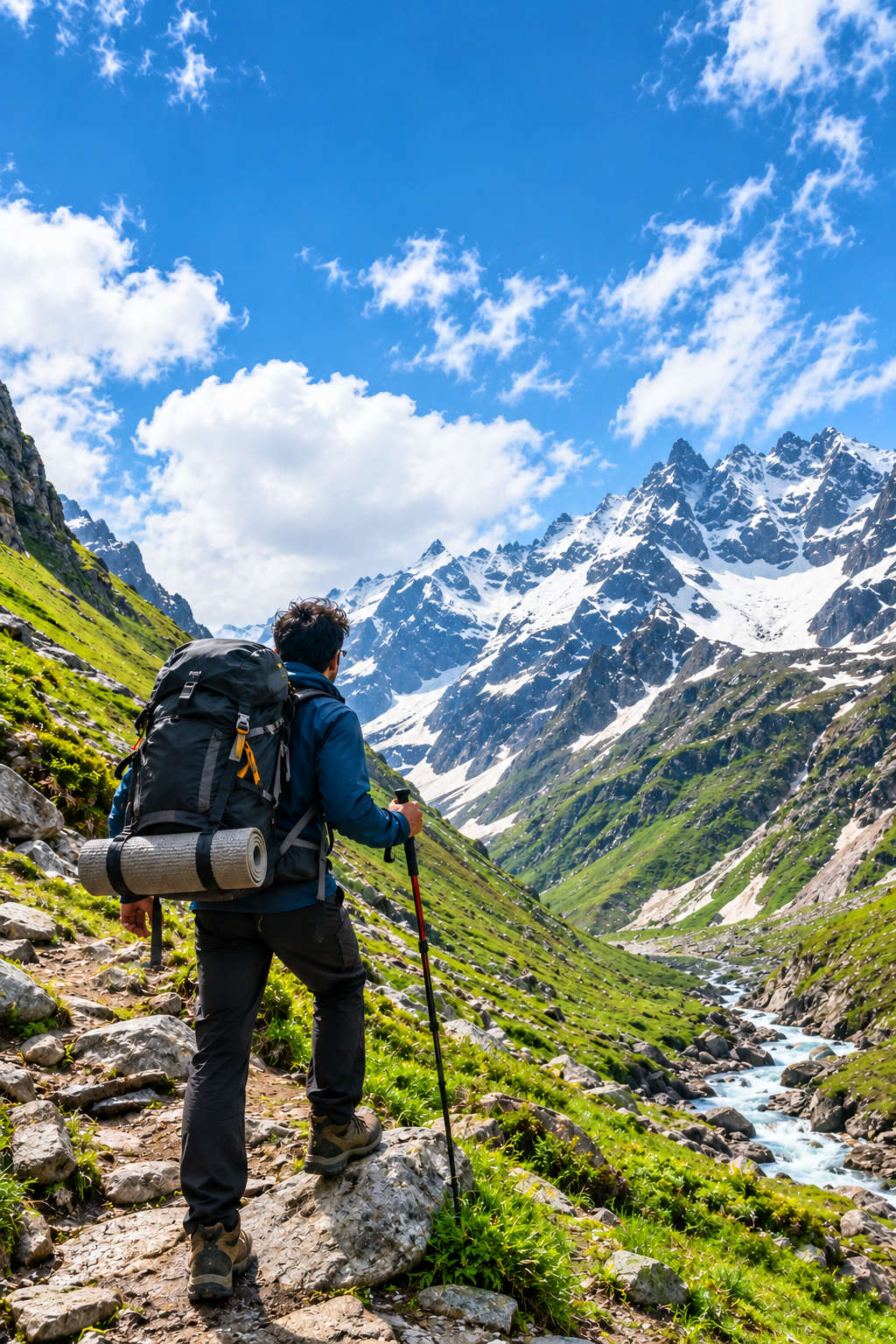
Hampta Pass is graded easy to moderate, and it is one of the treks most often recommended as a first Himalayan crossing. That grade is honest, not marketing. The daily walks are short, between 3 and 6 hours, the trail is well defined, and you gain height gradually rather than in one brutal push. What makes it moderate rather than easy is the pass day itself and the altitude.
On summit day you climb to 14,100 ft (4,270 m), and above roughly 12,000 ft the air thins enough that a fast climber can feel it. You also cross two glacial streams, the Rani Nala and the Hampta Nala, where the water is snow-melt cold and can be shin to knee deep by afternoon. The descent off the pass into Siagoru is steep and, early in the season, often snow-covered, so a slip here is the trek’s real hazard rather than the climb.
Fitness and acclimatisation
You do not need to be an athlete, but you should be able to walk 5 to 6 km on undulating ground carrying a daypack without stopping every few minutes. Build up with 4 to 5 km jogs or brisk walks for three to four weeks before the trek. Because Manali sits at about 6,700 ft, spend a night there before you start so your body has a head start on acclimatising, and drink far more water than feels necessary. Mild headache or breathlessness on the pass day is normal; persistent nausea, confusion or a headache that painkillers do not touch are signs of altitude sickness, and the fix is always to descend.
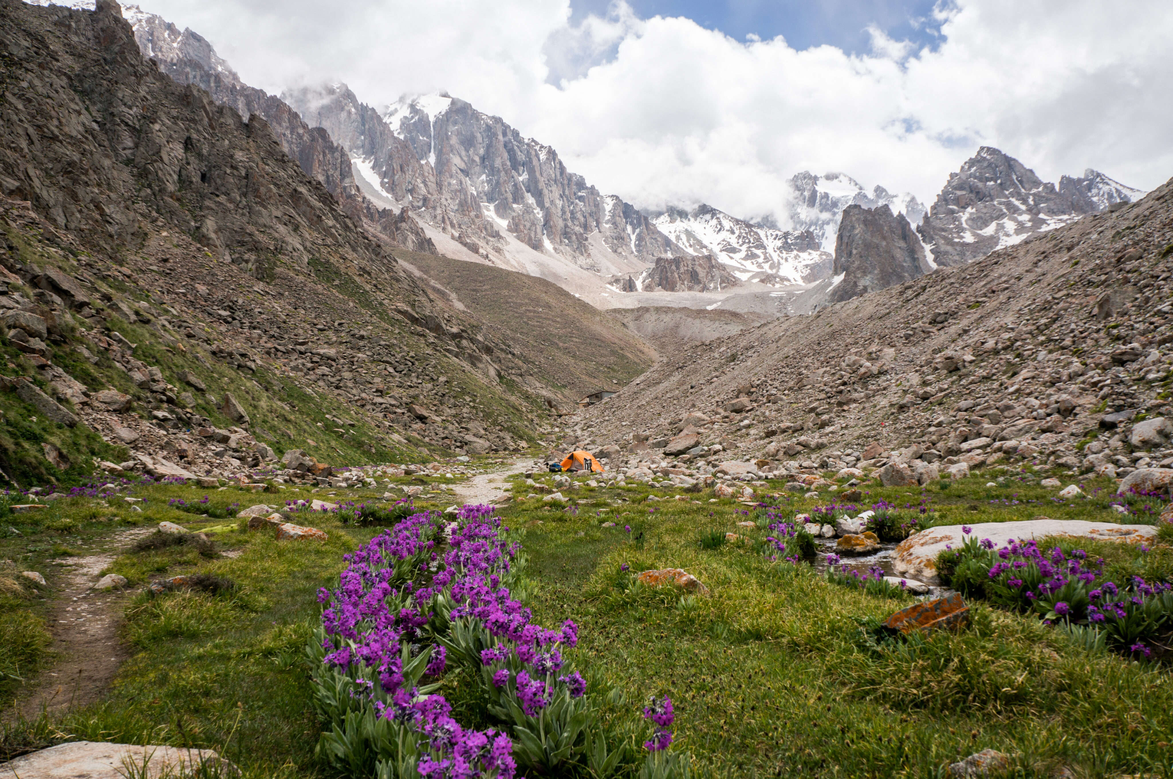
The Hampta Pass trekking window runs mid-June to mid-October. Outside it the pass is under snow and the access roads are shut. Within it, the trek changes character month by month, so pick your dates for the experience you want.
| Month | Conditions | Good for |
| Mid-June to June | Fresh snow still on the pass and the Siagoru side; rivers low in the morning; meadows just greening. | Trekkers who want snow underfoot and dramatic contrast. |
| July | Peak green. Meadows in full bloom, streams higher, occasional rain in the Kullu section. | Photographers and first-timers who want the classic green-to-desert story. |
| August | Warmest, monsoon lingers on the Manali side while Lahaul stays dry. Some slushy patches. | Flexible dates; carry good rain gear. |
| September | The sweet spot. Clear skies, stable weather, dry trail, and the Chandratal road usually open. | Best all-round month; book early. |
| Early to mid-October | Cold, crisp, thinning crowds; nights drop below freezing; season closing. | Solitude seekers who can handle the cold. |
Daytime temperatures in season sit around 12 to 20 degrees Celsius, but nights at the high camps fall close to or below freezing even in July, so the season never means warm. If reaching Chandratal is a priority, aim for September, when the road from Chatru is most reliably open.
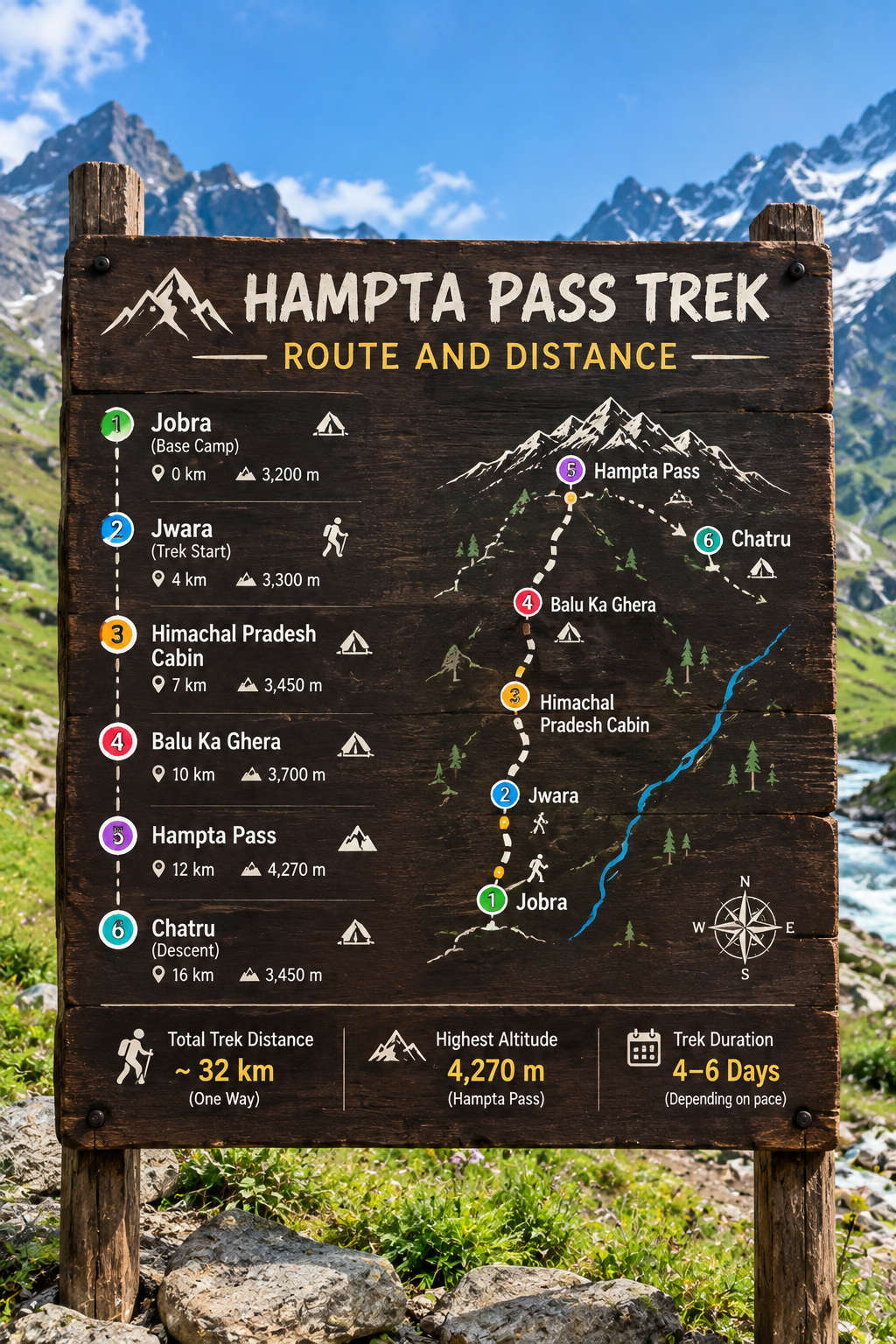
The trek is a point-to-point crossing, not a loop. You start at the Jobra roadhead above Manali, walk north and east up the Hampta valley, cross the pass, and drop into the Chandra valley on the Lahaul side, finishing at Chatru on the Manali to Kaza road. The full sequence is:
Manali > Jobra > Chika > Balu Ka Ghera > Hampta Pass > Siagoru > Chatru > (road) Chandratal > Manali.
The stage table below is the single most useful thing to carry. It gives you the distance, the altitude and the realistic walking time for each leg, so you can pace yourself and know what each day demands.
| Stage | Distance | Altitude | Walk time |
| Manali to Jobra (by road) | ~16 km | 6,700 to 9,800 ft | ~2 hr drive |
| Jobra to Chika | ~2 km | 9,800 to 10,400 ft | 2 to 3 hr |
| Chika to Balu Ka Ghera | ~7 km | 10,400 to 11,900 ft | 5 to 6 hr |
| Balu Ka Ghera to Hampta Pass to Siagoru | ~7 km | 11,900 to 14,100 to 12,900 ft | 7 to 8 hr (summit day) |
| Siagoru to Chatru | ~6 km | 12,900 to 11,000 ft | 4 to 5 hr |
| Chatru to Chandratal (by road) | ~70 km | 11,000 to 14,100 ft | ~2.5 hr drive each way |
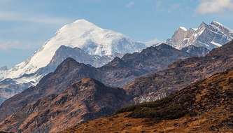
Two names to watch for on the trail. Jwara, a broad meadow of wildflowers and braided streams, comes between Chika and Balu Ka Ghera and is the last reliable place to fill water bottles before the long stretch to camp. And from the meadows above Balu Ka Ghera you get the trek’s signature view: the twin summits of Mt. Indrasan and Mt. Deo Tibba standing over the head of the valley. If you approach from Sethan instead of Jobra, an alternate start some operators use, you gain a little more forest walking on day one before the routes merge.
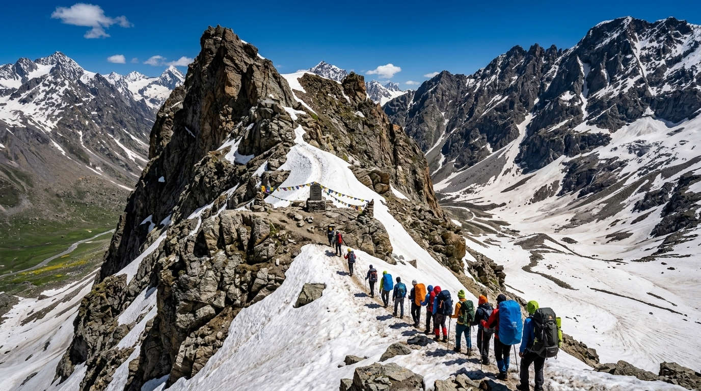
This is the standard 4-day itinerary with the Chandratal excursion as day 5. Camps, walking times and the key moments of each day are below. A compact 3-day version follows for trekkers short on time.
Day 1: Manali to Jobra, trek to Chika (10,400 ft)
Drive from Manali to the Jobra roadhead, a roughly 2-hour ride up 42 hairpin bends through pine and cedar forest via Prini. From Jobra the trek proper begins with an easy 2 to 3 hour walk to Chika, your first camp, set in a meadow beside the Rani Nala with the first big mountain views opening up. Short and gentle by design, this day is really about acclimatising after the drive. Camp at Chika.
Day 2: Chika to Balu Ka Ghera (11,900 ft)
A longer, more rewarding day. You cross the Rani Nala early, when the glacial stream is at its lowest, then climb steadily through the Jwara meadows, where the trail runs alongside rivers and waterfalls and the Dhauladhar peaks loom above. Fill your bottles at Jwara. The last push brings you to Balu Ka Ghera, meaning bed of sand, a wide riverside meadow at the foot of the pass that serves as summit-day basecamp. Expect 5 to 6 hours of walking. Camp at Balu Ka Ghera.
Day 3: Balu Ka Ghera to Hampta Pass to Siagoru (12,900 ft)
The big one. Start early. The morning is a steady 3 to 4 hour climb up moraine and, early in the season, snow to the top of Hampta Pass at 14,100 ft, where prayer flags mark the col and the view splits in two: green Kullu behind you, the stark brown Lahaul desert ahead. After time at the top, the afternoon is a steep, often snow-covered descent into the Chandra valley to the Siagoru camp beside the Siagoru stream. This is the longest and hardest day, 7 to 8 hours in all. Camp at Siagoru.
Day 4: Siagoru to Chatru, drive to Manali or camp for Chandratal
A downhill 4 to 5 hour walk along the river brings you to Chatru, a windswept camp at the meeting point of the roads to Hampta, Rohtang and Spiti. From Chatru you can either drive back to Manali over the Rohtang or Atal Tunnel route to finish the trek, or, if you have the extra day, continue to Chandratal.
Day 5 (optional): Chatru to Chandratal and back to Manali
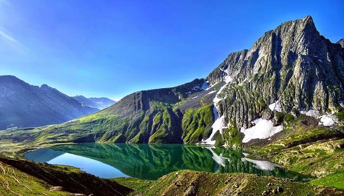
Chandratal, the crescent-shaped moon lake at 14,100 ft, sits about 70 km from Chatru by road, a 2 to 3 hour drive each way over rough mountain track. Camp beside the lake if permits and weather allow, watch the night sky, then drive back to Manali. Access depends entirely on the road being open, which is most reliable from late July to September.
If you cannot spare five days, a fit trekker can compress the crossing into three by trekking longer each day and skipping Chandratal:
The 3-day plan is only for trekkers already comfortable at altitude and with long days. Beginners should keep to the 4 or 5 day schedule so the acclimatisation stays gentle.
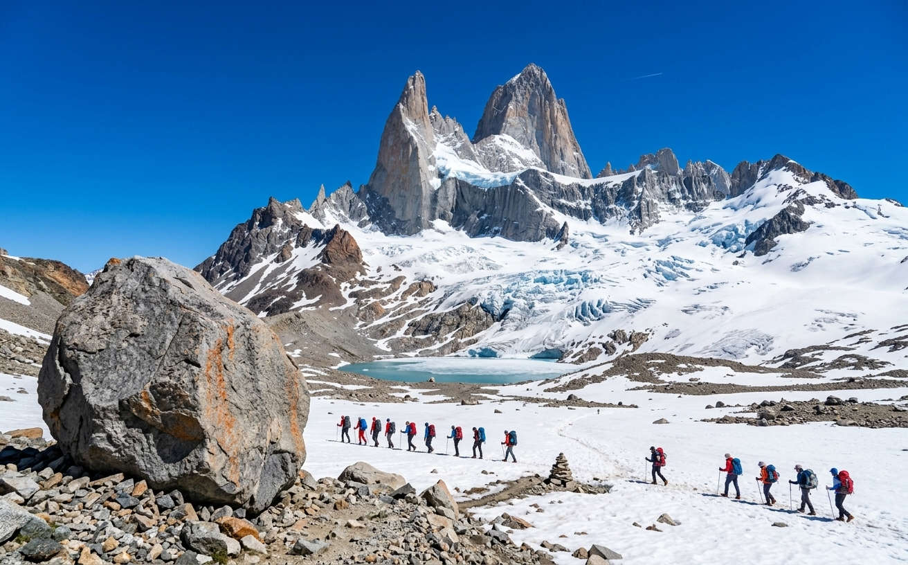
No. Hampta Pass is closed for trekking in December. From about November the pass and its approaches are buried under heavy snow, the Siagoru descent becomes dangerous, and the roads that make the trek possible, the Rohtang and the Chatru to Chandratal track, shut for winter. Operators do not run Hampta departures in December for good reason.
If you are set on a Manali-area trek in winter, look at lower-altitude snow treks instead. For a broader plan of the region in the cold months, see our Manali travel guide. The Hampta trekking calendar reopens around mid-June, once the snow on the pass has melted enough to walk.
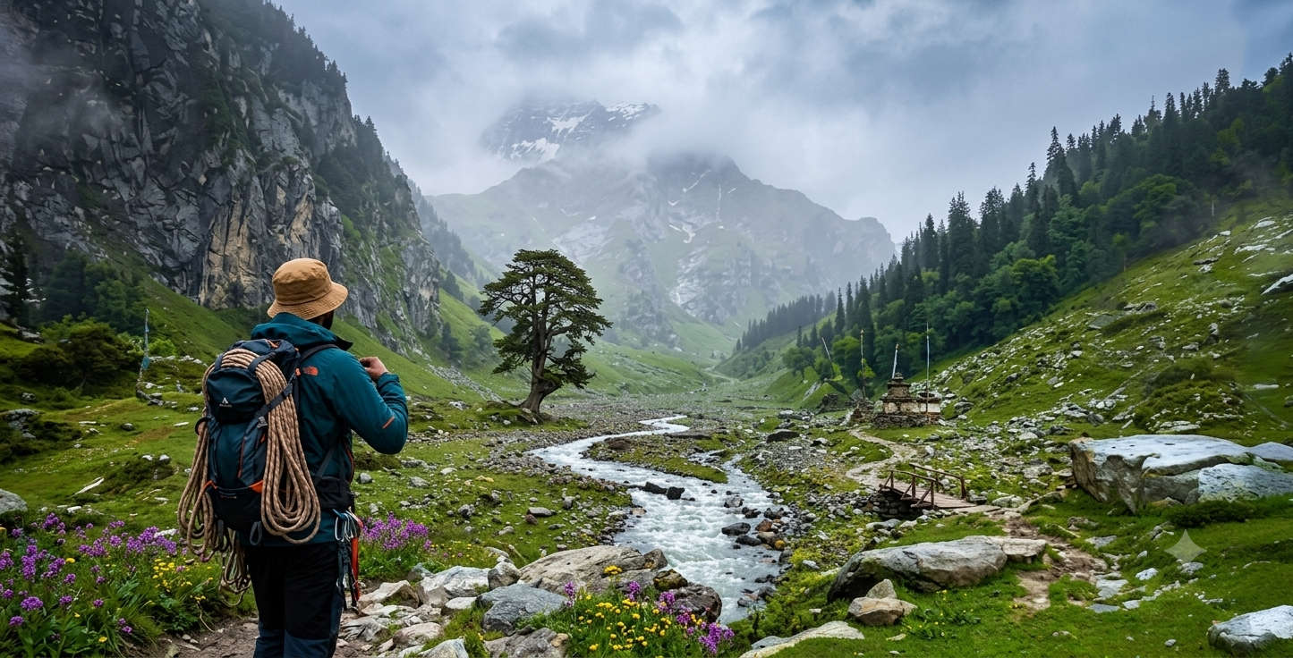
Every Hampta Pass trek starts at Jobra, and Jobra is reached through Manali. Here is how to get to Manali and then up to the roadhead.
By air
The nearest airport is Bhuntar (Kullu-Manali airport), about 52 km from Manali, connected to Delhi by limited flights. A private taxi from Bhuntar to Manali costs roughly Rs 1,000 to 1,500 and takes around 1.5 hours. Most trekkers instead fly to Chandigarh (about 8 to 9 hours by road) or Delhi for more choice and lower fares.
By road
Manali is well linked to Delhi by overnight bus, a journey of about 12 to 14 hours. HRTC and private Volvo services run nightly, and tickets can be booked on the HRTC portal. From Manali, the Jobra roadhead is a further 16 km, roughly 2 hours up 42 hairpin bends via Prini, covered by shared cab or the vehicle your operator arranges.
By train
There is no direct broad-gauge railhead near Manali. The nearest convenient stations are Chandigarh and Ambala, from where you continue by road. The narrow-gauge line at Joginder Nagar is closer but slow and poorly connected for most itineraries.

Hampta is a camping trek at altitude, so pack for cold nights and wet feet even in summer. If you book through an operator, tents, meals and cooking are handled; you carry personal gear and a daypack.
Clothing and gear
A 55 to 65 litre backpack, waterproof trekking shoes with ankle support, a fleece and a windproof or down jacket, thermals, quick-dry trek pants, a woollen cap and gloves, and a poncho or rain shell. Add sunglasses with full UV protection, sunscreen and lip balm for the glare off snow, and trekking poles, which genuinely help on the steep pass descent. Carry a reusable bottle and fill it at Jwara.
Permits, network and toilets
Indian trekkers do not need a special permit for the Hampta valley itself, though foreign nationals and the Chandratal area can have local registration requirements, so confirm with your operator when you book. There is no mobile network past Jobra; your last signal is around Prini or Manali, so tell family your plan before you start. Toilets on the trek are basic dry pits or tent toilets at camp, and there is no electricity, so carry a power bank and a headtorch.
Safety
The two real risks are altitude and the stream crossings. Cross the Rani Nala and Hampta Nala in the morning when the snow-melt is lowest, follow your guide’s line, and never rush the snow slope off the pass. Do not trek after dark, keep hydrated, and if anyone shows worsening altitude symptoms, the answer is to lose height, not to push on.
As an informational guide we will not quote a fixed fare, since prices move with season, group size and whether Chandratal is included, and operator packages change through the year. As a ballpark, a guided 4 to 5 day Hampta Pass trek from Manali typically covers camping, meals on the trail, a certified guide and the Jobra transfer, with the Chandratal drive sometimes charged as an add-on.
For current, customisable Hampta Pass and Manali trek packages with live pricing, transfers and camping sorted, see TravelTriangle’s Manali tour packages. You can also read how the trek fits the wider region in our Manali travel guide and the Hampta Pass trekking experience page.
Few treks pack as much variety into four days as Hampta Pass: forest, flower meadows, a glacier-fed pass and, on the far side, the raw brown desert of Lahaul, all within reach of a first-time Himalayan trekker. Get the season right, respect the altitude and the streams, and it delivers more than treks twice its length.
When you are ready to go, browse customisable Hampta Pass and Manali trek packages on TravelTriangle to have camping, guides and transfers arranged, and start planning your crossing for the coming season.
It is graded easy to moderate and is a popular first Himalayan crossing. Daily walks are short at 3 to 6 hours and the trail is clear, so the difficulty comes from the 14,100 ft pass, two cold glacial stream crossings and a steep, sometimes snowy descent into Siagoru rather than from any technical climbing. Reasonable fitness and one acclimatisation night in Manali are enough.
Mid-June to mid-October. Mid-June and July give snow near the pass and lush green meadows, September offers the clearest skies and the most reliable Chandratal road access, and early October is cold and quiet as the season closes. The pass is snow-bound and shut the rest of the year.
The classic itinerary is 4 days of trekking, or 5 with the Chandratal excursion, covering about 26 km on foot. Fit trekkers can compress it into a 3-day crossing by walking longer each day and skipping Chandratal.
The highest point is Hampta Pass itself at about 14,100 ft (4,270 m). Chandratal lake, the optional road excursion at the end, sits at a similar altitude of around 14,100 ft.
No. Hampta Pass is closed for trekking in December. The pass is buried under snow and the access roads to Chatru and Chandratal shut for winter. The trekking season reopens around mid-June once the snow melts.
Jobra is about 16 km from Manali, a 2-hour drive up 42 hairpin bends via Prini by shared cab or operator vehicle. Reach Manali first by overnight bus from Delhi (12 to 14 hours), or fly to Bhuntar airport 52 km away and taxi in.
Yes, it is one of the safest high crossings for fit beginners, provided you go with a guide, acclimatise for a night in Manali and respect the two hazards: altitude and the glacial stream crossings. Cross the streams early, take the snow descent slowly, and descend if altitude symptoms worsen.
No. The last reliable mobile signal is around Prini or Manali; there is no network from Jobra onwards and no electricity at the camps. Carry a fully charged power bank and a headtorch, and share your plan with family before you start.
A 55 to 65 litre backpack, waterproof trekking shoes, thermals, a fleece and a windproof or down jacket, a woollen cap and gloves, a rain poncho, UV sunglasses, sunscreen and trekking poles. Nights fall near freezing even in summer, so pack warm regardless of the month.
Daytime temperatures in season range from about 12 to 20 degrees Celsius. Nights at the high camps of Balu Ka Ghera and Siagoru drop close to or below freezing even in July, and it is colder still at the pass.
Indian trekkers generally do not need a special permit for the Hampta valley itself, but foreign nationals and the Chandratal area may have local registration requirements. Confirm the current rule with your operator when you book.
Yes, as an optional day 5. Chandratal is about 70 km from Chatru by road, a 2 to 3 hour drive each way, and is most reliably accessible from late July to September when the mountain track is open. Many trekkers camp a night by the lake before driving back to Manali.
You can trek Hampta solo if you are experienced and fully self-arranged, but it is not recommended. With no network, glacial crossings and a snow descent, going with a guided group is safer and, on a short trek like this, usually cheaper than organising camping and food alone.
Real reviews from real travelers who booked with us.
View All Reviews