8D / 7N
6% OFF


Where Belihuloya Is and Why It Is Worth a Stop
Belihuloya is a riverside village in Ratnapura District, Sabaragamuwa Province, about 150 km south-east of Colombo on the A4 highway, sitting at 616 m where Sri Lanka’s lowlands start climbing into the hills. Most travellers drive past it on the way to Haputale or Ella. Stop instead. Within 20 km you get six waterfalls, including Bambarakanda Falls (263 m, the tallest in the country), the Samanalawewa reservoir, cold river pools on the Belihul Oya and the back trail through Nonpareil tea estate to World’s End on Horton Plains. The name comes from that river (“oya” is Sinhala for river), which is why you will also see it spelled Belihul Oya. There is no entry fee for the village. Plan on one or two nights between December and April.
Distances on this page come from Wikipedia’s Belihuloya and Bambarakanda entries and road checks on Google Maps. Trail lengths were checked against operator listings in November 2026.
Key Takeaways
- Drive 4 to 4.5 hours from Colombo on the A4 through Ratnapura and Balangoda. Belihuloya comes before Haputale, not after it.
- Swim at Hirikatu Oya, 4 km up the Nonpareil road, but stay out of the river after heavy rain, when it rises fast.
- Book a guide for the 14 km Nonpareil to World’s End trail (about 10 hours).
- Give Bambarakanda Falls half a day. It is 18 km away via Kalupahana and 5 km off the A4.
- Stay two nights if you want one big hike plus the waterfalls. One night covers the river, Pahanthudawa and Samanalawewa.
Belihuloya facts
| Fact | Detail |
|---|---|
| District and province | Ratnapura District, Sabaragamuwa Province |
| Divisional Secretariat | Imbulpe |
| Elevation | 616 m above sea level |
| Coordinates | About 6.72° N, 80.77° E |
| Postal code | 70140 |
| Main road | A4 (Colombo to Batticaloa highway) |
| Distance from Colombo | About 150 km, 4 to 4.5 hours by car |
| Nearest town | Balangoda, towards Colombo on the A4 |
| Nearest railway station | Haputale, about 29 km via the A4 and Beragala |
| Entry fee and timings | None. It is a village, open all day, every day |
| Best months | December to April |
| Ideal stay | 1 to 2 nights |
Belihuloya sits on the A4, with Balangoda to the west, Samanalawewa to the south and Kalupahana (for Bambarakanda) and Haputale to the east. The A4 also passes the Sabaragamuwa University of Sri Lanka at Pambahinna junction, so on weekdays the village has a busy student feel around the main road.
Sri Lanka
Sri Lanka
Best Time
December - April
Select Package Type
Best Selling Packages


Things to do in Belihuloya at a glance
| Thing to do | Distance from Belihuloya | Time needed | Best for |
| Pahanthudawa Falls | 1.5 km | 1 hour | Short walk, photos |
| Belihul Oya river pools and Hirikatu Oya | 0 to 4 km | 2 hours | Swimming, families |
| Papulagala, Surathali and Brampton waterfalls | 5 to 10 km | Half day | Waterfall hopping |
| Samanalawewa Reservoir and Dam | 9.4 km | 2 to 3 hours | Views, birding, kayaking |
| Kinchigune trail and kayaking | Near the reservoir | Half day | Easy hike plus paddle |
| Wangedigala hike | Kalupahana, about 17 km | 4 to 5 hours | Fit hikers, ridge views |
| Baker’s Bend, Nonpareil Estate | Estate road, by jeep or 4 km on foot | Half day | Tea country, viewpoint |
| Nonpareil to World’s End trail | 14 km trail | About 10 hours | Serious hikers |
| Lower World’s End village trail | About 8 km | 6 to 8 hours | Village life, gentler hike |
| Bambarakanda Falls | 18 km | Half day | Sri Lanka’s tallest waterfall |
| Balangoda and Kuragala | 15 km and beyond | Half to full day | History, caves, markets |
| Birdwatching, stargazing and glamping | Around the village | Evening to overnight | Couples, nature lovers |
Things To Do In Belihuloya Sri Lanka
Twelve things to do in and around Belihuloya, from the river pools and Pahanthudawa Falls to Wangedigala, Baker's Bend and the Nonpareil trail to World's End, then waterfalls by height, hikes compared, itineraries, distances, how to reach, where to stay, the best time to visit and an India budget.
-
Pahanthudawa Falls
-
Belihul Oya River Pools and Hirikatu Oya
-
Papulagala, Surathali and Brampton Waterfalls
-
Samanalawewa Reservoir and Dam
-
Kinchigune Trail and Kayaking
-
Wangedigala Hike
-
Baker's Bend, Nonpareil Estate
-
Nonpareil to World's End Trail
-
Lower World's End Village Trail
-
Bambarakanda Falls
-
Balangoda and Kuragala
-
Birdwatching, Stargazing and Glamping
Explore Popular Destination In Sri Lanka
01
Pahanthudawa Falls
The list runs roughly from the village outwards. The first four fit into a single afternoon. Plan the hikes from Wangedigala onwards as their own day.
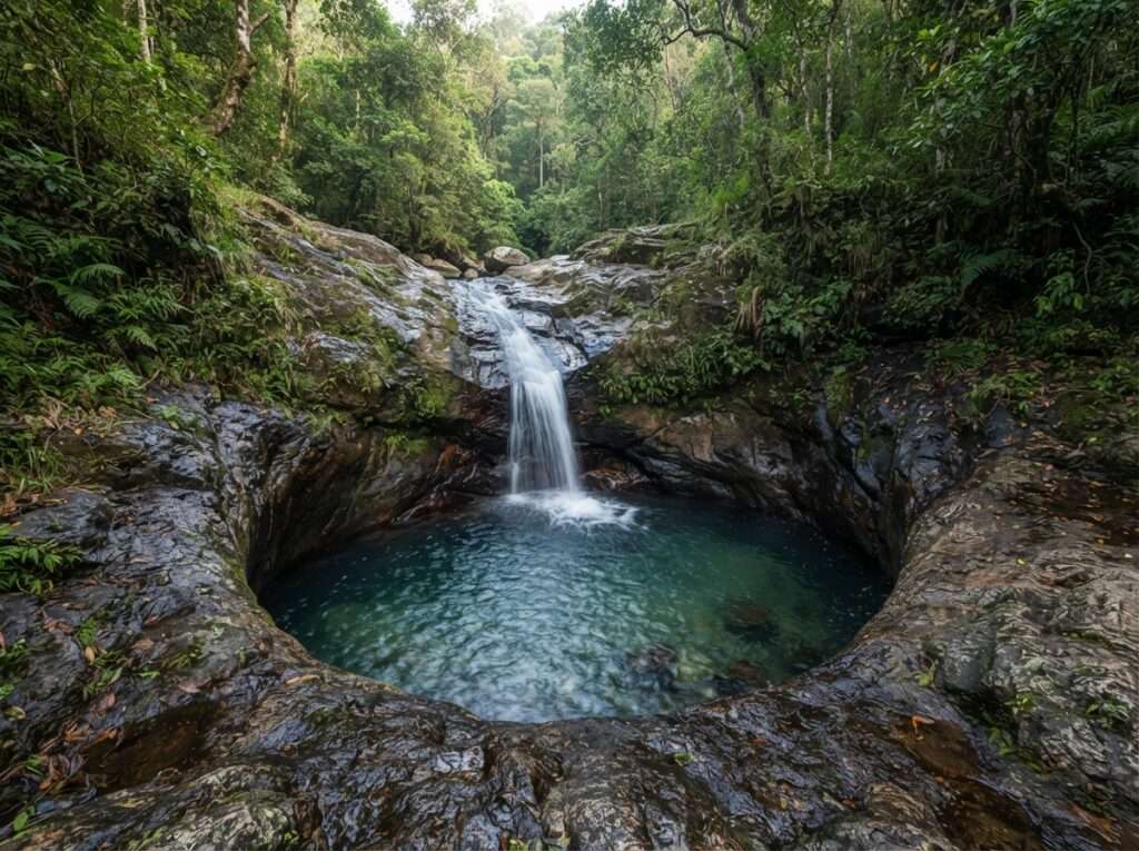
Pahanthudawa (also written Pahanthuda Ella) is the closest waterfall to Belihuloya, about 1.5 km from the village. It is small, only 4.6 m high according to Wikipedia, but its plunge pool is the reason people come. Admire it from the rocks rather than swimming: the pool is deep, and there have been fatal drownings here. The rock at the base is worn into a round bowl that looks like an oil lamp, and “pahana” is the Sinhala word for lamp.
It works as a first stop on arrival. A short walk from the road gets you there, and you can be back at your hotel within the hour. Go after a few days of dry weather if you want to see the lamp shape clearly. After heavy rain the pool turns brown and the shape disappears under white water.
| Distance | About 1.5 km from Belihuloya |
| Height | 4.6 m |
| Time needed | 1 hour |
| Entry fee | None |
| Best for | A quick first walk and photos |
Related Tour Packages


❮
❯
02
Belihul Oya River Pools and Hirikatu Oya
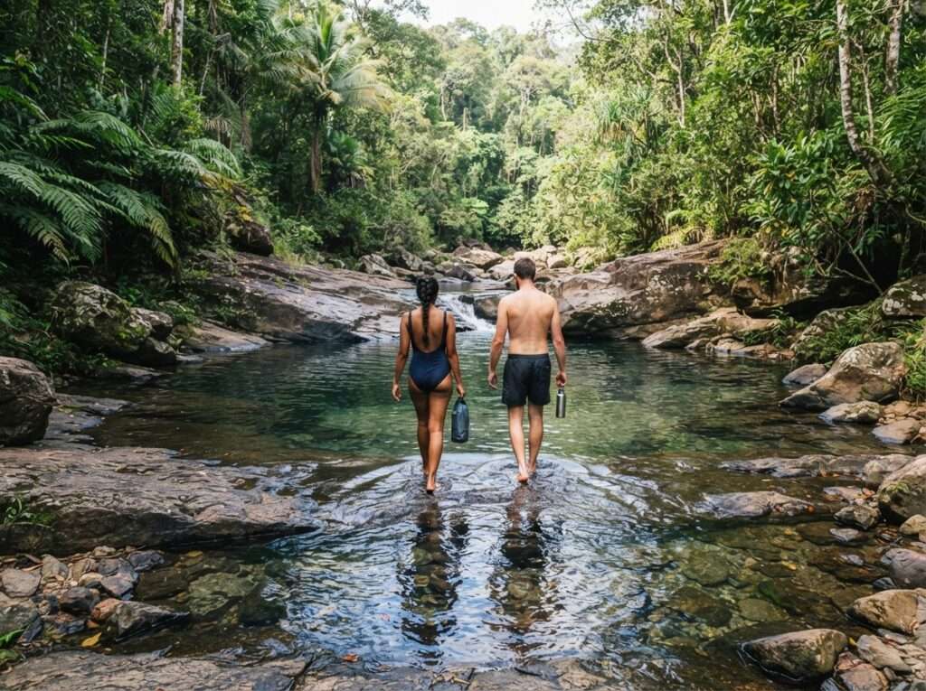
The river that gives Belihuloya its name is the main reason to stay the night. Clear, cold water runs over flat granite through the village, and the most popular bathing spot is Hirikatu Oya, about 4 km out. The road towards Nonpareil estate takes you there, with a car park about 2 km along it and a short walk on to the pools. The old Belihuloya Rest House also sits right on the riverbank, and its terrace is the classic place for tea above the water.
Locals bathe here at weekends, so weekday mornings are quietest. Wear river shoes. The rock is slippery, and the water level can rise quickly when it rains upstream on the hills, even if the sky above you is clear. If the water turns brown or the current picks up, get out.
| Distance | In the village to 4 km (Hirikatu Oya) |
| Time needed | About 2 hours |
| Entry fee | None |
| Safety | Avoid after rain, wear grip shoes |
| Best for | Swimming, families, a cool-off after a hike |
Related Tour Packages


❮
❯
03
Papulagala, Surathali and Brampton Waterfalls
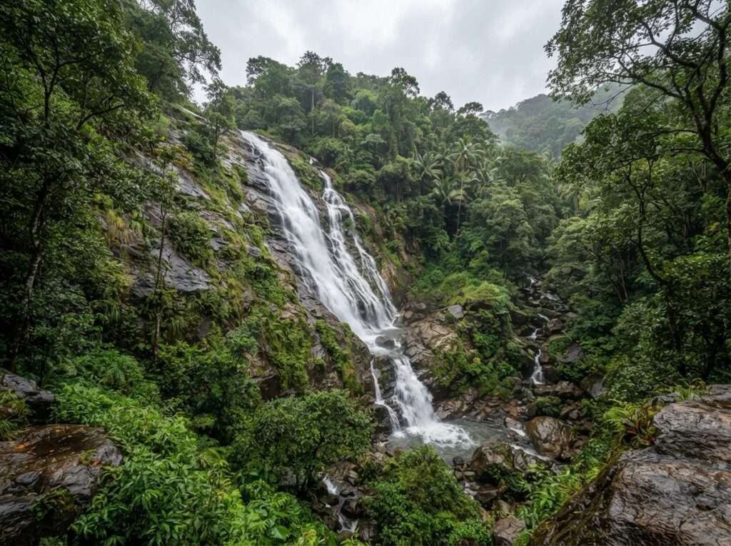
Three smaller falls sit within 10 km of the village, and with a tuk-tuk you can see all three in half a day. Papulagala Ella, 5 km east at Lower Hiralouvah, drops about 30 m on the slopes of Mount Papulagala inside Brampton tea estate, and it only really flows after rain. Surathali (Surathalee) Ella drops about 60 m in three tiers down a rock face on the eastern side of Mount Ellamana, 8 km from Belihuloya. Brampton Falls is a 6 m cascade on a tributary of the Weli Oya, about 10 km away, hidden among monsoon forest with several smaller falls around it.
None of these has a ticket office or facilities. Ask your driver to wait, carry water, and allow for short muddy walks from the road.
| Distance | 5 km (Papulagala), 8 km (Surathali), 10 km (Brampton) |
| Heights | About 30 m, 60 m and 6 m |
| Time needed | Half day for all three |
| Getting there | Tuk-tuk or car, with short walks |
| Best for | Waterfall fans, May to January when flow is good |
Related Tour Packages


❮
❯
04
Samanalawewa Reservoir and Dam
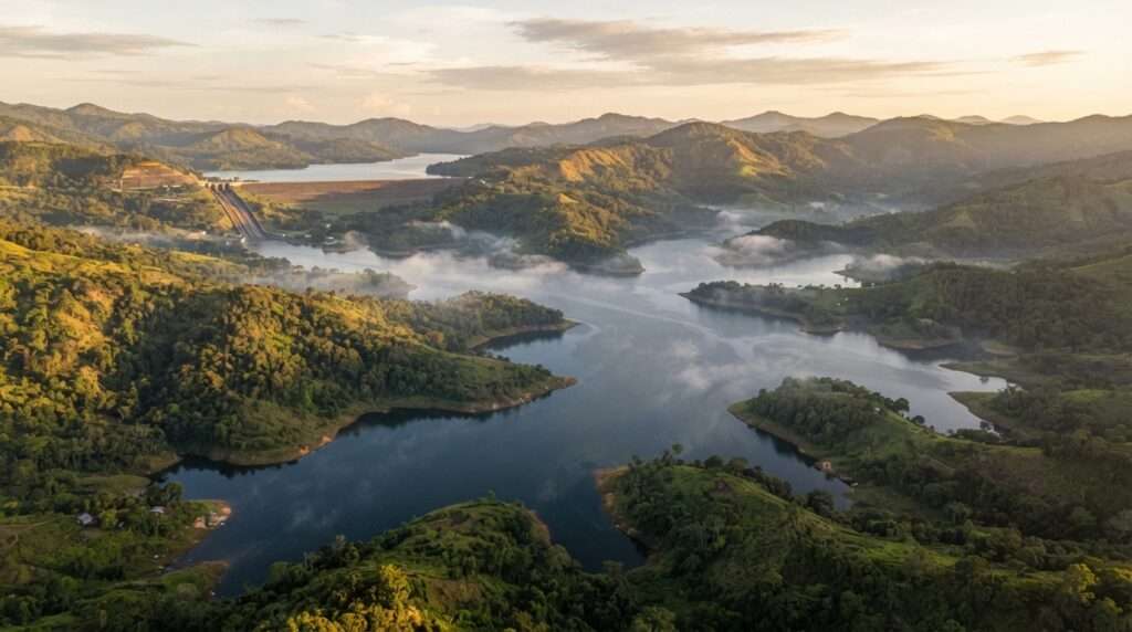
The Samanala Dam sits 9.4 km south of Belihuloya, just below the point where the Belihul Oya meets the Walawe River. It holds back the Samanalawewa reservoir and runs one of Sri Lanka’s largest hydropower schemes, generating about 405 GWh a year for the Ceylon Electricity Board. You reach it by the road that turns off the A4 at Pambahinna junction.
Come for the views over the two long arms of water, with the hills folding down to the shore. The reservoir edges are good for birdwatching early in the morning. Local operators run kayaking sessions on calmer parts of the water. Do not swim here, as the reservoir is deep. Visiting the dam structure itself needs permission, so treat the dam as a viewpoint unless your guide has arranged access.
| Distance | 9.4 km south of Belihuloya |
| Time needed | 2 to 3 hours |
| Kayaking | Guided sessions from about USD 25 (₹2,200) |
| Rules | No swimming, dam access by permission only |
| Best for | Views, birding, a gentle paddle |
05
Kinchigune Trail and Kayaking
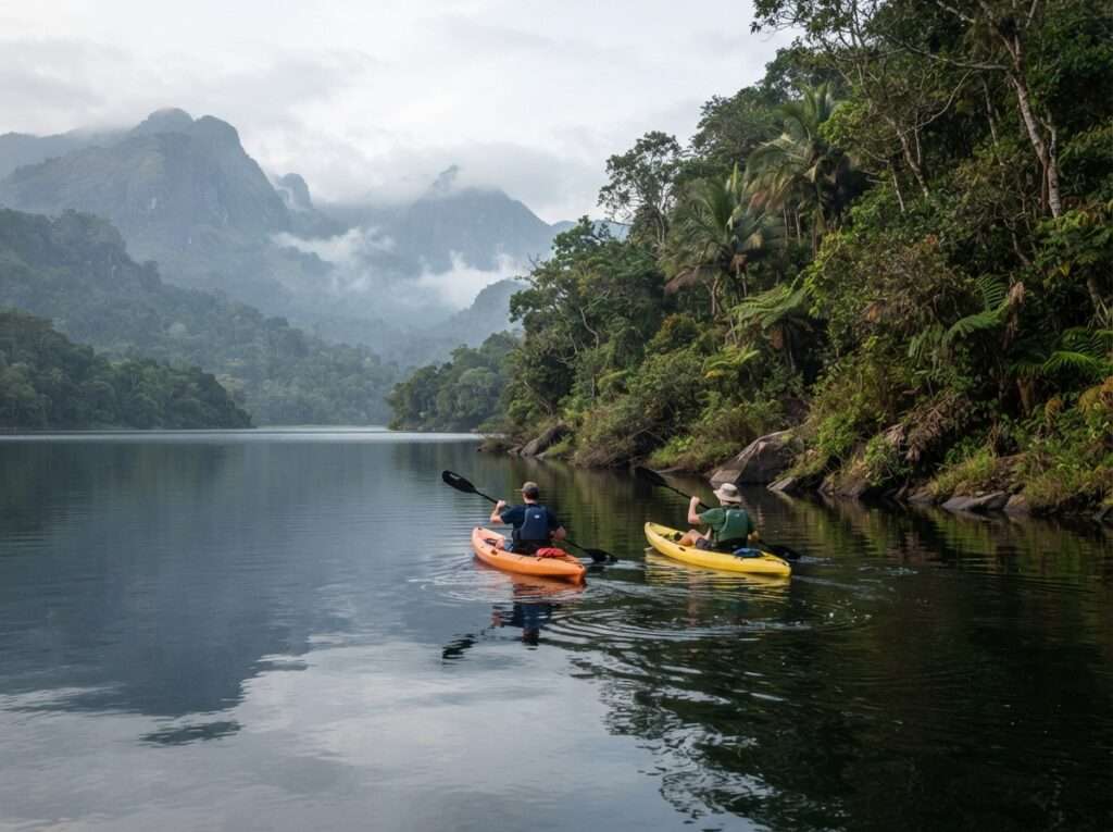
If you want a half-day outing that is active but not exhausting, the Kinchigune trail is the one operators pair with time on the water. The walk follows village paths and forest edges near the reservoir, then you swap boots for a kayak. Operators describe a walk of about 6 km from the River Garden Resort area to Kinchigune, an old village largely drowned when the reservoir filled, ending where the Belihul Oya meets the water.
It suits families with older children and anyone who wants a taste of the countryside before a long drive to Ella. Start early to avoid the midday heat on the water.
| Location | Near Samanalawewa reservoir |
| Time needed | Half day |
| Difficulty | Easy to moderate |
| Best for | Families, first-time hikers |
06
Wangedigala Hike
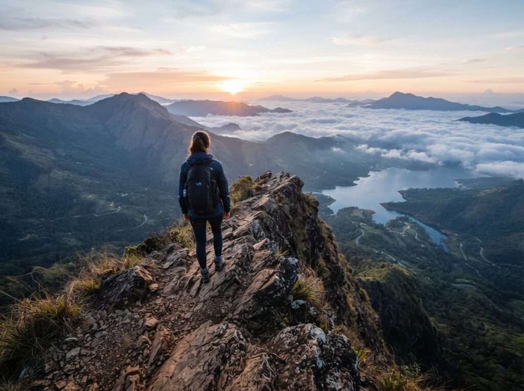
Wangedigala is the best-known mountain hike near Belihuloya, starting at Kalupahana, about 14 km east of Belihuloya on the A4 and then 3 km up the Kalupahana road. It is a 4 to 5 hour round trip through scrub and forest to a rocky ridge with views over Kalupahana, Bambarakanda Falls and the surrounding hills. The final section is steep and exposed, so it rewards a reasonable level of fitness.
Start by 6:30 am. The ridge has little shade and clouds often roll in by late morning, which takes away the view you climbed for.
| Time needed | 4 to 5 hours |
| Difficulty | Moderate to hard |
| Start time | 6:30 am or earlier |
| Best for | Fit hikers, sunrise and ridge views |
07
Baker's Bend, Nonpareil Estate
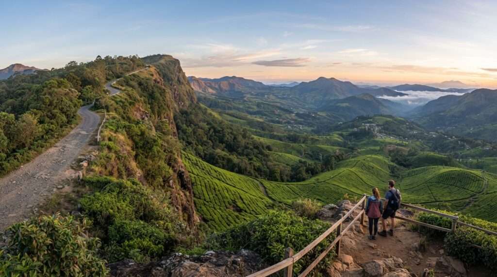
Baker’s Bend is a viewpoint on a ridge above Nonpareil tea estate, where the land drops away from the edge of the Horton Plains plateau. It sits on private plantation land, so check current access with the estate or go with a local guide who knows the rules. Jeeps can drive the estate road right up to the bend. If you walk instead, it is about 4 km up the estate road from the tea factory area, through tea and then forest.
Go on a clear morning. Once cloud settles on the escarpment you will see only white.
| Access | Via Nonpareil estate road, by jeep or about 4 km on foot |
| Permit | Private estate land, check access or go with a local guide |
| Time needed | Half day |
| Best for | Tea country walks, big views |
08
Nonpareil to World's End Trail
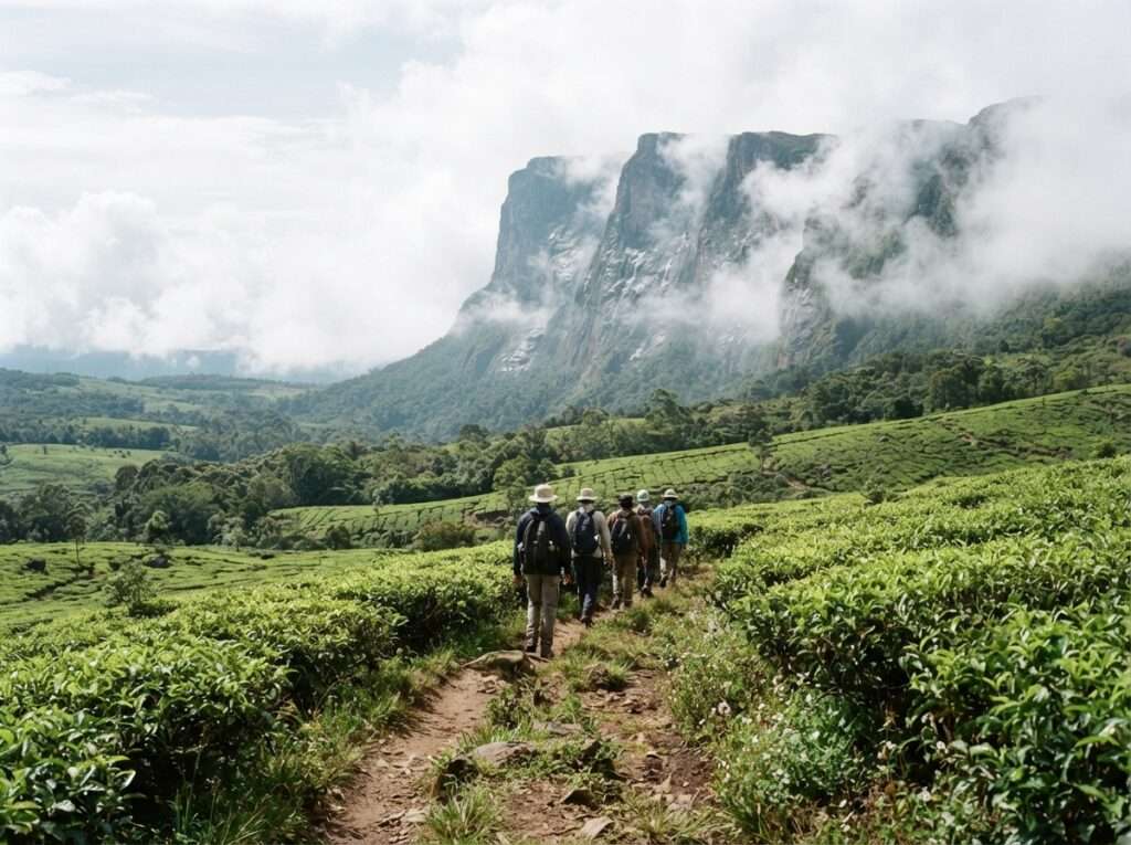
This is the hike that puts Belihuloya on serious walkers’ maps. Instead of driving round to the Horton Plains ticket gate, you climb from below. Guided groups leave Belihuloya around 7:30 am, walk through Nonpareil tea estate, pass the old British-era bungalow on Nagrak estate and reach the foot of the World’s End cliff for a packed lunch. The full trail is about 14 km and takes around 10 hours, with a return by about 5 pm.
Go only with a guide who knows the estate paths and the permissions. The upper sections are wet and leech-heavy for most of the year. For the plateau itself, the park rules and the classic loop from Pattipola, read our Horton Plains National Park guide.
| Distance | About 14 km |
| Time needed | About 10 hours (7:30 am to 5 pm) |
| Difficulty | Hard |
| Guide and permit | Guide strongly advised, estate permission needed |
| Best for | Experienced hikers, December to March |
09
Lower World's End Village Trail
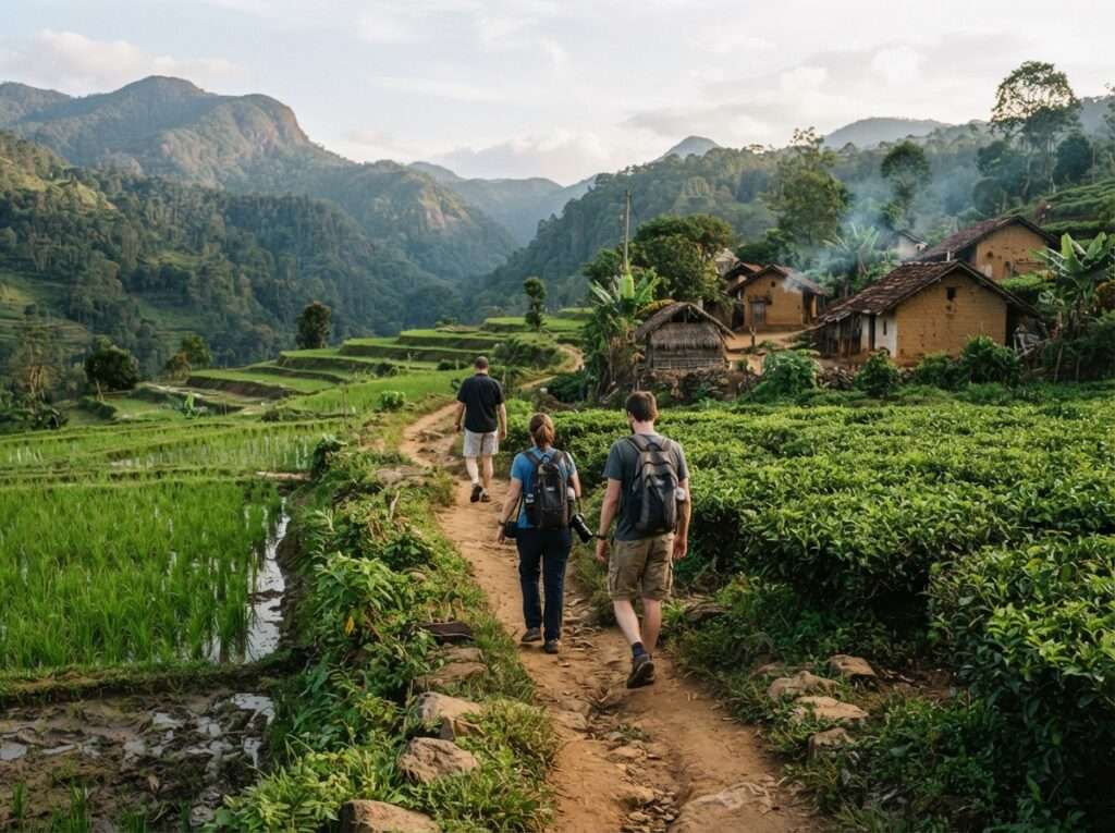
If 14 km sounds like too much, the Lower World’s End village trail gives you the same landscape at a gentler pace. It covers about 8 km in total through hamlets, paddy and tea, roughly 3 km of it on foot and the rest by tuk-tuk along the duller road stretches. Operators list it at 6 to 8 hours including stops.
This is the walk to choose if you are more interested in how people live in the foothills than in reaching a summit. Carry small notes for tea stops and village shops.
| Distance | About 8 km in total, roughly 3 km on foot and the rest by tuk-tuk |
| Time needed | 6 to 8 hours |
| Difficulty | Easy to moderate |
| Best for | Village life, mixed-fitness groups |
10
Bambarakanda Falls
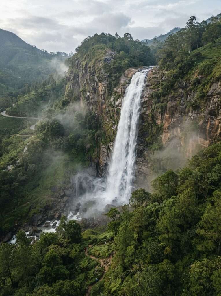
Bambarakanda Falls is Sri Lanka’s tallest waterfall at 263 m, and it is the main day trip from Belihuloya. It is about 18 km away. Drive east on the A4 to Kalupahana and turn off for the last 5 km up a narrow road through pine forest. Technically it is just across the border in Badulla District, Uva Province.
From the car park a short path leads to the base. The fall is at its fullest from about May to January. In the driest weeks of February and March it thins to a ribbon, so manage expectations. Our full guide to waterfalls in Ratnapura covers the walk, local stays and the other big falls in the area.
| Distance | About 18 km via Kalupahana, 5 km off the A4 |
| Height | 263 m, Sri Lanka's tallest |
| Time needed | Half day |
| Best flow | May to January |
| Best for | Waterfall lovers, photographers |
11
Balangoda and Kuragala
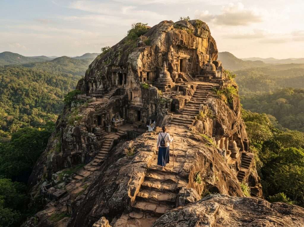
Balangoda, roughly 15 to 20 km back down the A4, is the nearest proper town and the place to stock up on cash, fuel and groceries. It is also the jumping-off point for Kuragala, a rock outcrop with ancient caves and Buddhist cave inscriptions that has been used as a religious site for centuries, about 24 km south of Balangoda on the Kaltota road. The wider Balangoda area is known in Sri Lankan archaeology for “Balangoda Man”, the name given to the island’s prehistoric hunter-gatherers.
Combine both in a half day. Dress modestly for Kuragala, with shoulders and knees covered.
| Distance | About 15 to 20 km (Balangoda), Kuragala further south |
| Time needed | Half to full day |
| Dress code | Shoulders and knees covered at Kuragala |
| Best for | History, caves, a town stop for cash |
12
Birdwatching, Stargazing and Glamping
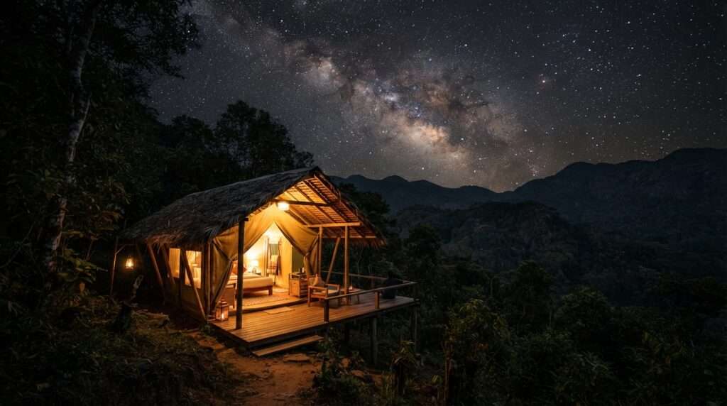
Belihuloya sits where the wet and dry zones meet, which makes the area good for birds. Early mornings by the river and around the reservoir bring kingfishers, bulbuls and raptors, and keen birders look for endemics such as Layard’s parakeet and the Sri Lanka hanging parrot. A local guide speeds this up a lot.
Nights are dark away from the A4, and on a clear dry-season night the sky is full of stars. The easiest way to enjoy both is a night at a glamping lodge such as Ahaspokuna, which runs bushwalks, hides and stargazing sessions for guests.
| Where | Around the village, river and reservoir |
| Best time of day | 6 am to 8 am for birds, after 9 pm for stars |
| Best months | December to April |
| Best for | Couples, birders, slow travellers |
Waterfalls Near Belihuloya by Height
Six falls and cascades lie within 18 km of the village, counting the Hirikatu Oya bathing cascades. This table ranks them by height so you can decide which are worth a detour. Heights and distances are from Wikipedia’s Belihuloya entry, which draws on Eberhard Kautzsch’s A Guide to Waterfalls in Sri Lanka (1983). Surathali’s height is from its own Wikipedia entry.
| Waterfall | Height | Distance from Belihuloya | Swimming? |
|---|---|---|---|
| Bambarakanda Falls | 263 m | 18 km | No, paddle only at the base |
| Surathali Ella | 60 m | 8 km | No |
| Papulagala Ella | 30 m | 5 km | No |
| Brampton Falls | 6 m | 10 km | No |
| Pahanthudawa Falls | 4.6 m | 1.5 km | No, deep pool with past drownings |
| Hirikatu Oya (bathing pools) | Cascades | 4 km | Yes, the main bathing spot |
For a wider look at the country’s falls, including Diyaluma, which is about an hour east on the A4, see our list of waterfalls in Sri Lanka and the Diyaluma Falls guide.
Belihuloya Hikes Compared: Which Trail Should You Pick?
Five guided walks start in or near Belihuloya, and they are very different days out. Pick by fitness and how much time you have.
| Trail | Distance | Time | Difficulty | Permit or guide |
|---|---|---|---|---|
| Kinchigune trail plus kayak | About 6 km | Half day | Easy to moderate | Guide recommended |
| Lower World’s End village trail | About 8 km | 6 to 8 hours | Easy to moderate | Guide recommended |
| Baker’s Bend | About 4 km from the estate | Half day | Moderate | Check estate access |
| Wangedigala | About 5 to 7 km round trip | 4 to 5 hours | Moderate to hard | Guide recommended |
| Nonpareil to World’s End | About 14 km | About 10 hours | Hard | Guide and estate permission |
If you have only one morning, do Wangedigala. If you have a full day and good legs, the Nonpareil trail is the one people talk about afterwards. For hikes elsewhere on the island, from Adam’s Peak to Knuckles, see our guide to trekking in Sri Lanka.
Belihuloya Day Trip and 2-Day Itinerary
You can see Belihuloya as a long stop between Colombo and Ella, but a night lets you swim in the river after the day cools down. Here are both versions.
Belihuloya day trip (en route from Colombo to Haputale or Ella)
| Time | Plan |
|---|---|
| 6:00 am | Leave Colombo on the A4 via Avissawella and Ratnapura |
| 10:30 am | Arrive Belihuloya. Tea by the river |
| 11:00 am | Walk to Pahanthudawa Falls |
| 12:30 pm | Lunch in the village (rice and curry) |
| 1:30 pm | Drive to Bambarakanda Falls via Kalupahana |
| 3:30 pm | Continue via Beragala to Haputale (about 1 hour) or Ella (about 2 hours) |
2-day Belihuloya itinerary
| Day | Morning | Afternoon | Evening |
|---|---|---|---|
| Day 1 | Drive from Colombo (4 to 4.5 hours) | Pahanthudawa Falls, then swim at Hirikatu Oya | Samanalawewa viewpoint at sunset, night in Belihuloya |
| Day 2 | Wangedigala hike from 6:30 am, or a Kinchigune trail and kayak | Bambarakanda Falls via Kalupahana | Drive on to Haputale or Ella |
Swap Day 2 for the full Nonpareil to World’s End trail if hiking is the main reason you came. In that case add a third night, because you will not want to drive after a 10-hour walk.
How Far Is Belihuloya? Distances and Drive Times
Belihuloya sits on the A4 between the lowland gem-mining town of Ratnapura and the hill stations of Haputale and Ella. These are road distances and typical drive times by car.
| From or to | Distance | Drive time | Route |
|---|---|---|---|
| Colombo | About 150 km | 4 to 4.5 hours | A4 via Avissawella, Ratnapura, Balangoda |
| Bandaranaike Airport (CMB) | About 185 km | 4.5 to 5 hours | Via Colombo outer roads, then A4 |
| Ratnapura | About 60 km | 1.5 hours | A4 via Pelmadulla and Balangoda |
| Balangoda | About 15 to 20 km | 25 to 30 minutes | A4 |
| Haputale | About 29 km | About 1 hour | A4 to Beragala, then A16 |
| Ella | About 55 km | About 2 hours | A4 to Beragala, A16 via Haputale and Bandarawela |
| Nuwara Eliya | About 90 km | 2.5 to 3 hours | Via Haputale and Welimada |
| Horton Plains (by road) | About 58 km | About 2 hours | Via Haputale and Ohiya |
| Udawalawe National Park | About 60 km | 1.5 to 2 hours | Via Balangoda and Embilipitiya road |
| Diyaluma Falls | About 40 km | About 1 hour | A4 via Beragala and Koslanda |
If you are travelling between Belihuloya and Ratnapura, the A4 runs straight through Balangoda and Pelmadulla, and both buses and cars use it. For more on the gem-mining town at the other end, read our guide to places to visit in Ratnapura.
How To Reach Belihuloya
Belihuloya has no airport and no railway station. The easiest way in is by road on the A4, which runs right through the village.
By car
A car with driver from Colombo takes 4 to 4.5 hours on the A4 through Avissawella, Ratnapura and Balangoda. This is the most flexible option, because the waterfalls and trailheads are spread out and buses do not reach them. Coming from the hills, Belihuloya is about an hour from Haputale, down the A16 to Beragala and then west on the A4.
By bus
Long-distance buses from Colombo towards Badulla, Bandarawela and Haputale take the A4 via Ratnapura and Balangoda and pass through Belihuloya. Tell the conductor where you are getting off. The trip takes 5 to 6 hours, and buses also run often from Balangoda. Evening services thin out, so arrive in daylight.
By train and road
The closest railway station is Haputale, about 29 km away on the scenic main line from Colombo and Kandy towards Badulla. Take the train into the hills, then a tuk-tuk or taxi via Beragala and the A4 to Belihuloya in about an hour. It is slower than the road from Colombo, but the train ride through the tea country is a trip in itself.
From India
Fly to Bandaranaike International Airport (CMB) in Colombo. Direct flights run from Chennai and Bengaluru in about 1.5 hours, Kochi in about 1 hour 15 minutes, Mumbai in under 3 hours and Delhi in about 3.5 hours. From the airport, Belihuloya is a 4.5 to 5 hour drive, so most travellers spend the first night in Colombo or Negombo. Indian passport holders need a tourist ETA, which has been free since 25 May 2026. Apply at eta.gov.lk before you fly, and see our Sri Lanka visa guide for Indians.
How to plan a Belihuloya trip from India in 6 steps
- Pick your months. Go between December and April for dry trails and clear views.
- Get your ETA online at eta.gov.lk before you book non-refundable stays.
- Fly into Colombo (CMB) from Chennai, Bengaluru, Mumbai, Delhi or Kochi.
- Place Belihuloya in your route, with one or two nights between Colombo or Ratnapura and Haputale or Ella.
- Book guides for the Nonpareil, Wangedigala or Baker’s Bend trails a few days ahead.
- Draw rupees in Balangoda and pack leech socks, river shoes and a rain shell.
Where To Stay In Belihuloya
Belihuloya has a small mix of stays rather than a hotel strip. Choose by what you want outside the window: the river, the reservoir or the forest.
| Stay | Type | Why stay | Approx. rate per night |
|---|---|---|---|
| EKHO Belihuloya (the former Belihuloya Rest House) | Heritage hotel, 16 rooms | Right on the river, the classic Belihuloya address | Mid-range |
| River Garden Resort | Riverside resort | Gardens on the water, good for families | Mid-range |
| Ahaspokuna | Glamping lodge | Tents, bushwalks, stargazing, all-inclusive feel | Upscale |
| Landa Holiday House | Holiday house | Space for groups, near the trails | Budget to mid-range |
| Village guesthouses and homestays | Guesthouse | Home-cooked rice and curry, local hosts | Budget |
The old Belihuloya Rest House, a Ceylon Hotels Corporation property, has been converted into EKHO Belihuloya. Check that it is taking bookings before you plan around its river terrace. Book river-facing rooms early for weekends from December to April, when Sri Lankan families fill the riverside places. For more options in the wider district, see our list of hotels near Ratnapura, and if you continue into the hills, homestays in Haputale are an hour away.
Best Time To Visit Belihuloya
The best time to visit Belihuloya is December to April, when trails are dry, mornings are clear and the river is calm enough for swimming. Belihuloya sits at 616 m, so days are warm rather than hot, and nights cool down. It also lies on the line between the wet and dry zones, so it catches rain from both monsoons in different months.
| Months | Weather | Good for | Watch out for |
|---|---|---|---|
| December to February | Mostly dry, clear mornings, cool nights | All hikes, World’s End views, river swimming | Peak weekend crowds at the river |
| March to April | Warm and dry, some afternoon storms in April | Hikes, stargazing, birding | Bambarakanda thin by March, Sinhala New Year crowds in April |
| May to September | Southwest monsoon showers, cloudy hills | Waterfalls at full flow, green landscapes | Leeches, slippery trails, rising river |
| October to November | Inter-monsoon, heavy afternoon rain | Waterfalls, low prices | Trail closures, no swimming after rain |
If waterfalls matter more than hiking, go in June to August or late November, when the falls carry the most water. For the island-wide picture by month, see our page on the best time to visit Sri Lanka.
Belihuloya on a Sri Lanka Trip From India: Route and Budget
Belihuloya fits neatly into the classic 6 to 7 night south loop that most Indian travellers take. Fly into Colombo, drive the A4 to Belihuloya for one or two nights, continue to Ella for the train and the tea country, then head down to Udawalawe or Yala for a safari before returning along the south coast. It saves you a long backtrack, because the A4 is the shortest road from Colombo into the southern hills.
| Item (per person, 2 nights in Belihuloya) | Budget | Mid-range |
|---|---|---|
| Stay (sharing a double) | ₹2,500 to ₹4,000 | ₹7,000 to ₹14,000 |
| Car with driver share (Colombo to Belihuloya leg) | ₹2,500 to ₹3,500 | ₹3,500 to ₹5,000 |
| One guided hike or kayak session | ₹2,200 to ₹3,200 | ₹5,700 to ₹7,100 |
| Food (rice and curry, short eats) | ₹1,200 to ₹1,800 | ₹2,500 to ₹4,000 |
| Total for the Belihuloya leg | About ₹8,400 to ₹12,500 | About ₹18,700 to ₹30,100 |
These are TravelTriangle estimates for November 2026, excluding flights, at USD 1 = ₹88 and LKR 3.5 = ₹1. Vegetarians eat well here. Rice and curry plates are built around dhal, jackfruit, pumpkin and greens, and you can ask for no fish (ask for “elawalu witharai”). To see how Belihuloya slots into a full trip, look at Sri Lanka routes that run via Ella on our Ella tour packages page.
Belihuloya Travel Tips
- Carry cash. Belihuloya has very limited ATM access, so draw rupees in Balangoda or Ratnapura.
- Pack leech socks or spray for any hike from May to January. The Nonpareil and Baker’s Bend trails are the worst.
- Treat the river with respect. Rain on the hills can raise the Belihul Oya within minutes, even under blue sky.
- Start hikes by 6:30 am. Cloud often covers Baker’s Bend and World’s End by 10 am.
- Ask before entering tea estates. Nonpareil and Brampton are working plantations, and permission is needed for some paths.
- Do not swim in Samanalawewa. The reservoir is deep, and swimming is not advised.
- Travel the A4 in daylight. The road has tight bends after Balangoda, and buses drive fast.
- Cover shoulders and knees at Kuragala and other religious sites, and remove shoes and hats where asked.
Plan Your Belihuloya Trip
Belihuloya gives you a river, six waterfalls and some of the best walking in Sri Lanka’s southern hills, all on the main road between Colombo and Ella. One night covers the river and the nearby falls. Two nights add a proper hike and Bambarakanda. If you would rather have the drives, guides and stays arranged for you, our Sri Lanka tour packages can be customised to include a Belihuloya stop on the way into the hills. For the rest of the island, start with our Sri Lanka travel guide and the list of national parks in Sri Lanka.
Sources
- Wikipedia, Belihuloya (district, elevation, distance from Colombo, waterfall heights and distances, Samanala Dam, Sabaragamuwa University), last edited 15 September 2026
- Wikipedia, Bambarakanda Falls (height, Kalupahana, distance from the A4)
- Wikipedia, Surathali Falls (height, three tiers)
- Wikipedia, Samanala Dam (Walawe and Belihul Oya confluence, Ceylon Electricity Board scheme)
- Lakpura, Hiking in Nonpareil Trail (14 km, about 10 hours, Nagrak bungalow)
- Ceylon Hotels Corporation, Belihuloya Rest House
- Department of Immigration and Emigration, Sri Lanka, eta.gov.lk (ETA for Indian passport holders)
FAQs
FAQs About Belihuloya
Quick answers on where Belihuloya is, how to get there, swimming safety, hikes, the best time to go and where to stay.
Belihuloya is in Ratnapura District, in Sabaragamuwa Province, Sri Lanka. It comes under the Imbulpe Divisional Secretariat and has the postal code 70140. The village sits on the A4 highway at 616 m, close to the border with Badulla District in Uva Province. That is why some nearby sights, such as Bambarakanda Falls at Kalupahana, are technically in Badulla District even though most visitors reach them from Belihuloya.
Belihuloya is about 150 km south-east of Colombo, a drive of 4 to 4.5 hours on the A4 through Avissawella, Ratnapura and Balangoda. From Bandaranaike International Airport, allow 4.5 to 5 hours. Long-distance buses towards Badulla, Bandarawela and Haputale run the same road and take 5 to 6 hours. There is no train to Belihuloya itself. The nearest station is Haputale, about an hour away via Beragala.
Yes, Belihuloya is worth a night if you like rivers, waterfalls and hiking. Within 18 km you get six waterfalls, including Bambarakanda, Sri Lanka's tallest at 263 m, plus river pools, the Samanalawewa reservoir and the back trail to World's End. It is quieter and cheaper than Ella. It is not the place for nightlife, shopping or big hotels, so treat it as a nature stop on the way into the hills.
The best things to do in Belihuloya are swimming in the Belihul Oya at Hirikatu Oya, visiting Pahanthudawa and Bambarakanda falls, and watching the sunset over Samanalawewa. Active travellers add the Wangedigala hike, Baker's Bend in Nonpareil estate or the full 14 km Nonpareil to World's End trail. For a gentler day, try the Lower World's End village trail or a Kinchigune walk with kayaking on the reservoir.
Yes. Belihuloya works as a long stop on the drive from Colombo to Haputale or Ella. Leave Colombo by 6 am, arrive around 10:30 am, walk to Pahanthudawa Falls, eat lunch, then visit Bambarakanda Falls before continuing up the A4. You will miss the big hikes and an evening swim, so stay a night if you can. A day trip from Ella or Haputale also works, at about 1 to 2 hours each way.
Bambarakanda Falls is about 18 km from Belihuloya. Drive east on the A4 to Kalupahana, then turn off for about 5 km up a narrow road through pine forest to the car park. The drive takes around 35 to 45 minutes. At 263 m it is Sri Lanka's tallest waterfall. It flows best from May to January and can thin to a trickle in the driest weeks of February and March.
You can hike to the foot of World's End with a guide, but not into the park itself. The Nonpareil trail climbs from Belihuloya through Nonpareil tea estate and past the old Nagrak estate bungalow to the base of World's End, the cliff at the edge of Horton Plains. The trail stays on estate land below the cliff and does not enter Horton Plains National Park, which you can only enter through its ticketed gates. Climbing into the park from below is not allowed. It is about 14 km and takes around 10 hours, with groups starting near 7:30 am and returning by 5 pm. Estate permission is needed. Go between December and March for the driest trail and clearest views.
The best time to visit Belihuloya is December to April, when trails are dry, mornings are clear and the river is calm enough to swim. May to September brings southwest monsoon showers, leeches and full waterfalls. October and November bring heavy afternoon rain from the inter-monsoon. Waterfall lovers may prefer June to August, while hikers should aim for December to March for the best views from World's End and Baker's Bend.
It is safe to swim in the Belihul Oya in dry weather at known bathing spots such as Hirikatu Oya, about 4 km up the Nonpareil road, where locals bathe at weekends. Wear river shoes, as the granite is slippery. Get out if the water turns brown or the current picks up, because rain on the hills can raise the river quickly. Do not swim in the Samanalawewa reservoir, which is deep.
Stay by the river if you can. EKHO Belihuloya, the converted old Belihuloya Rest House, sits on the riverbank (check it is taking bookings), and River Garden Resort has gardens on the water. For a nature-first stay, Ahaspokuna offers glamping with bushwalks and stargazing. Budget travellers can find village guesthouses and homestays. Book early for December to April weekends.
Belihuloya to Ella is about 55 km and takes around 2 hours by car. Drive up the A4 to Beragala and the A16 to Haputale (about 1 hour), then continue via Bandarawela to Ella. By public transport, take a bus to Haputale or Bandarawela and change for Ella. You can also catch the train from Haputale to Ella, a short ride of about 1 hour on the famous hill country line.
Belihuloya to Ratnapura is about 60 km down the A4, roughly 1.5 hours by car through Balangoda and Pelmadulla. Buses heading towards Colombo pass through Belihuloya and stop at Ratnapura, and services also run often from Balangoda. Ratnapura is Sri Lanka's gem-mining town, so many travellers break the Colombo to Belihuloya drive there for a gemstone museum visit or a look at a working pit.