4D / 3N
17% OFF
Manali-Kasol Tour Package by Cab for Himachal (4D/3N) - At A Glance
- Hotel
- Meals
- Sightseeing
- Entry Tickets
- Cab Transfer
₹12,688
₹10,500 /pp
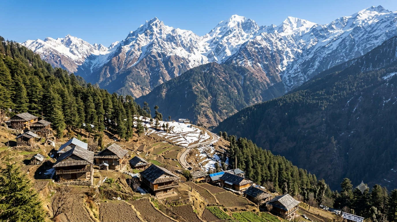


Shoja, also spelt Sojha, is a small village at roughly 2,700 metres in the Seraj region of Himachal Pradesh’s Kullu district, sitting just below Jalori Pass on the edge of the Great Himalayan National Park. It is one of the quietest places you can still reach by car in this corner of the state: a handful of wooden homes, apple orchards and deodar forest, with Jibhi about 5 km downhill and Tirthan Valley a short drive further. People come for the Jalori Pass to Serolsar Lake trek, for snow between December and February, and for the kind of slow mountain days that busier Manali stopped offering years ago.
शोजा हिमाचल प्रदेश के कुल्लू ज़िले में जलोरी पास के ठीक नीचे बसा एक शांत गाँव है, जो लगभग 2,700 मीटर की ऊँचाई पर है।
Key takeaways
Best Time
March - June
Select Package Type

3 Days & 2 Nights
₹9,043 /@pp
GET FREE QUOTE

9 Days & 8 Nights
₹36,484 /@pp
GET FREE QUOTE

Here is the short version before the detail. If you only read one block on this page, read this one.
| Detail | Information |
| Altitude | About 2,700 m (roughly 8,900 ft) |
| Region / district | Seraj (Banjar and Tirthan area), Kullu district |
| Nearest high pass | Jalori Pass, about 5 km away, around 3,120 m |
| Nearest villages | Jibhi about 5 km, Banjar about 18 km |
| Nearest airport | Bhuntar (Kullu Manali airport), about 50 km |
| National park | Great Himalayan National Park (buffer zone) |
| Best months | April to June, and October to November |
| Snow window | December to February |
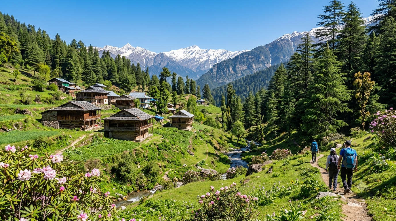
The best time to visit Shoja is April to June for green, pleasant days, and October to November for the clearest mountain views. December to February brings snow, which is why the village peaks with searches in winter, but Jalori Pass often closes for days when the snow is heavy. Pick your season by what you actually want: forest walks, clear photography, or snow.
| Season | Months | What it’s like | Good for |
| Spring and summer | April to June | Warm days near 15-25°C, cold nights | First visits, treks, orchards in bloom |
| Monsoon | July to September | Green and wet; occasional landslides on the Aut road | Lush forest, quieter stays; check road status |
| Autumn | October to November | Clear skies, sharp cold after dark | Photography and the Serolsar trek |
| Winter | December to February | Snow; Jalori Pass frequently closed | Snow lovers who accept limited access |
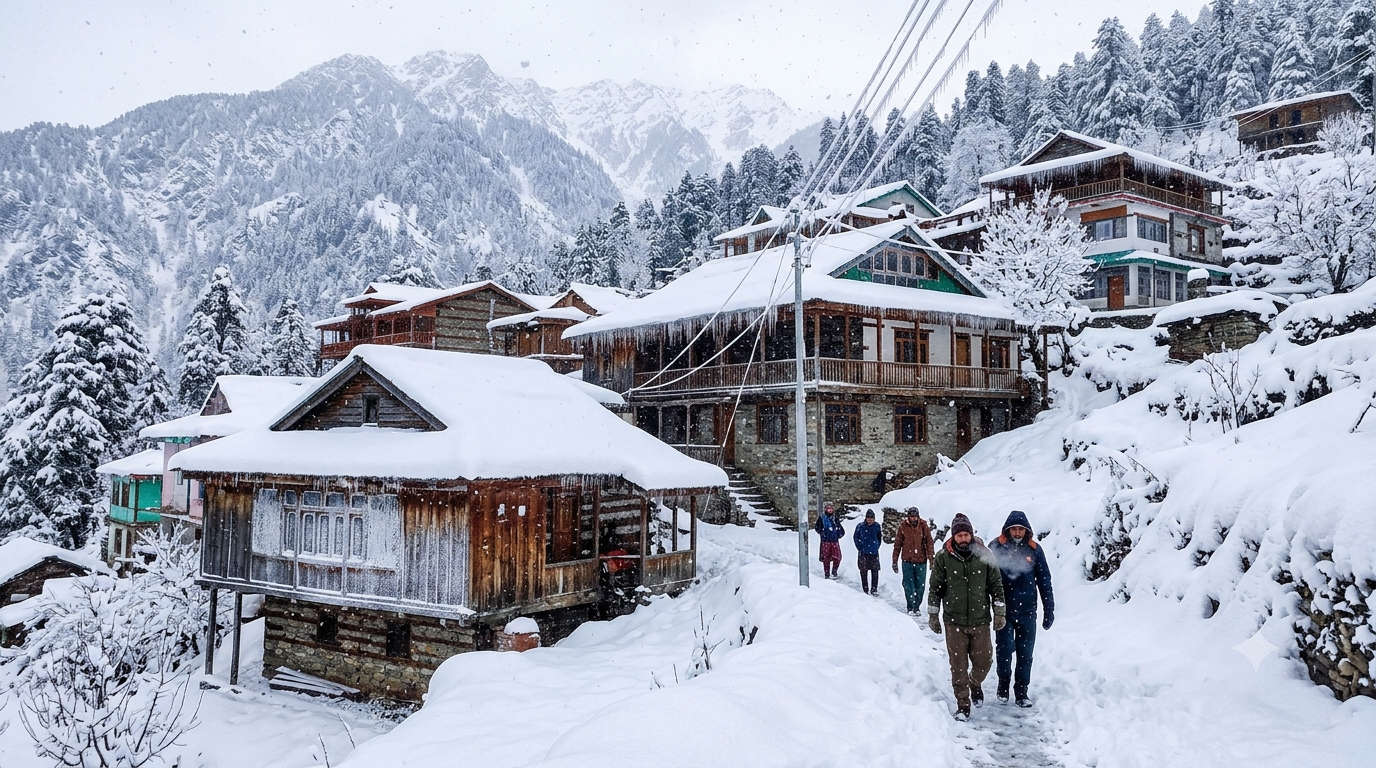
Yes. Shoja gets regular snowfall from late December through February, and this is when most people picture it. Daytime temperatures hover near or below freezing in the deep of winter, and nights drop several degrees colder. The trade-off is access: heavy snow can shut Jalori Pass and slow the road up from Aut, so keep your plans flexible, carry chains or hire a driver who knows the route, and book your stay ahead because winter options are limited.
Shoja is small, but almost everything worth doing sits within a short drive or walk. Start with the master list below, then read the detail on each. The single best outing is the Jalori Pass to Serolsar Lake trek.
| Place | Best for | Distance from Shoja | Ideal time |
| Jalori Pass | Views, snow point, trek start | About 5 km | April to November |
| Serolsar Lake | Forest trek, Budhi Nagin temple | About 5 km from Jalori | May to October |
| Raghupur Fort | Ridge-top ruins, camping | About 3 km trek from Jalori | May to October |
| Shoja Waterfall (Waterfall Point) | Short walk, photos | About 1 km | April to September |
| Chehni Kothi | Ancient tower, heritage | Via Jibhi, about 12 km | April to November |
| Shringa Rishi Temple | Local deity, culture | Near Banjar, about 20 km | Year-round |
| Mini Thailand (Kuli Katandi) | River pools, easy walk | Near Jibhi, about 8 km | April to June |
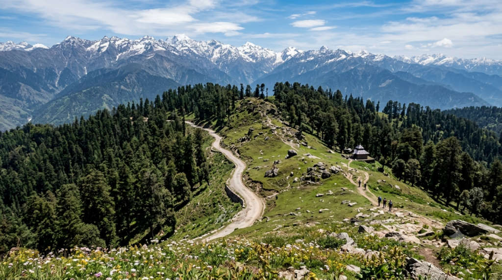
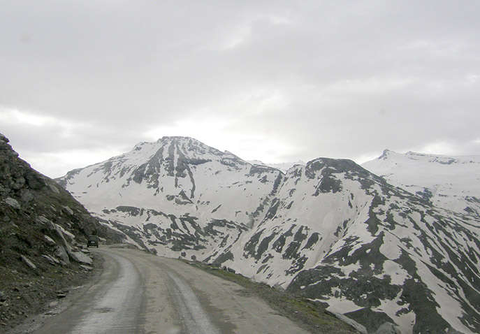
Jalori Pass is the reason most people come to Shoja, and it is about 5 km up the road. At roughly 3,120 m it is one of the more accessible high passes in Himachal because you can drive to the top, where a small temple and a few tea and Maggi stalls mark the ridge. From here two of the area’s best short treks begin, to Serolsar Lake on one side and Raghupur Fort on the other. The pass is usually open from around April to November and closes with heavy winter snow.
For a deeper look at the pass and its treks, see our Jalori Pass guide.
| Detail | Information |
| Height | About 3,120 m (roughly 10,200 ft) |
| Distance from Shoja | About 5 km by road |
| Road access | Open roughly April to November; closed in heavy snow |
| At the top | Small temple, tea and snack stalls, trailheads |


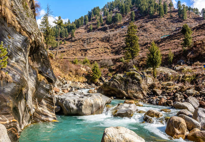
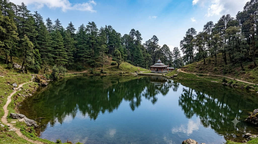
Serolsar Lake is a small, dark forest lake about 5 km from Jalori Pass, reached on an easy-to-moderate walk through old oak and rhododendron. The trail is nearly level for most of the way, which makes it doable for reasonably fit first-timers in a morning. At the lake there is a temple to Budhi Nagini, and locals will tell you the water stays strangely clean because birds keep it clear. Carry water and start early so you are back at the pass before afternoon cloud rolls in.
| Detail | Information |
| Distance | About 5 km one way from Jalori Pass |
| Trek grade | Easy to moderate, mostly level forest path |
| Time needed | Half a day return |
| At the lake | Budhi Nagini temple; no shops, carry your own water and snacks |




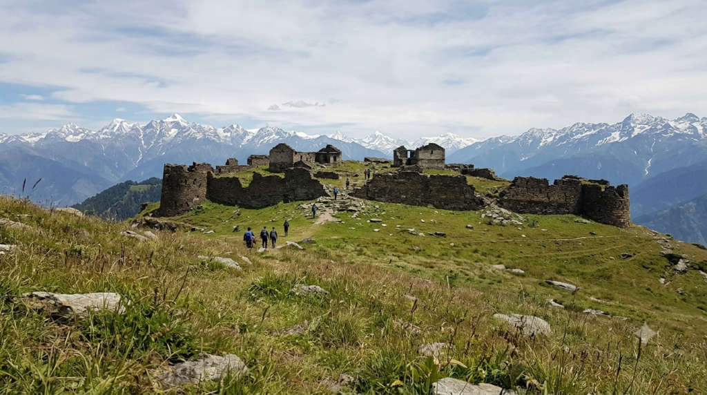
Raghupur Fort is a ruined hill fort on a grassy ridge about 3 km from Jalori Pass, a short but steep climb in the opposite direction to Serolsar. Little of the stone wall remains, but the meadow on top gives a wide line of Himalayan peaks, and it is a popular spot to camp overnight in the summer and autumn months. Go on a clear day, because in cloud there is not much to see beyond the grass.


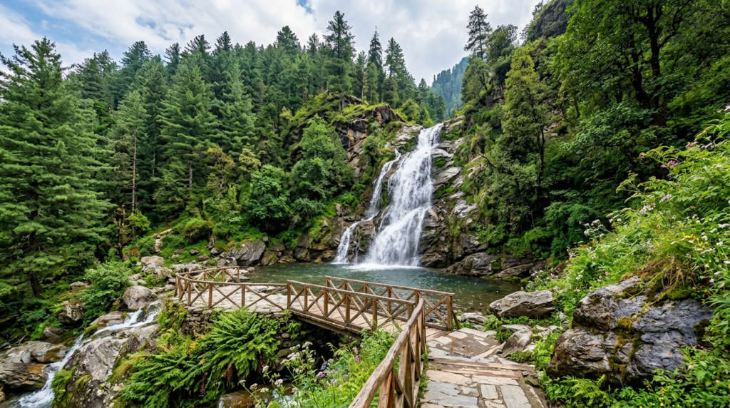
A short walk from the village leads to a small waterfall that locals simply call Waterfall Point. It is not a big cascade, but it is an easy stroll through forest and a nice first-evening leg-stretch after a long drive up. It runs strongest during and just after the monsoon.
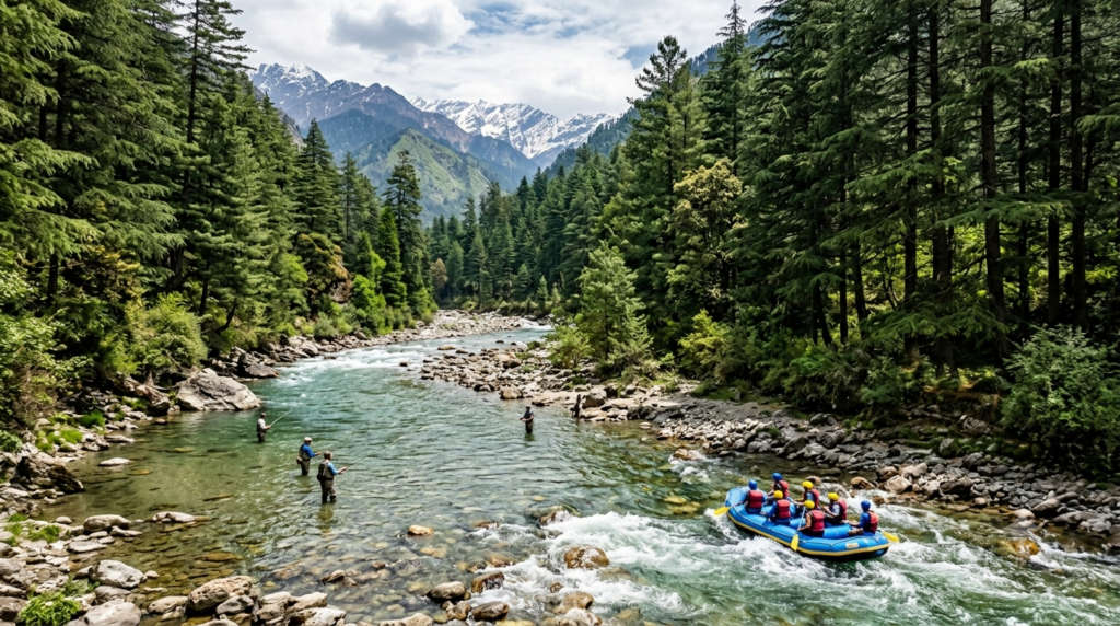
Down in the Tirthan Valley, a short drive below Shoja, the Tirthan River is known for trout angling and gentle rafting stretches. It is the classic pairing with a Shoja trip, and the valley is also the main gateway to the Great Himalayan National Park.
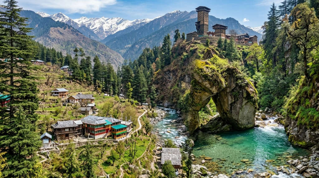
Most Shoja trips include the villages just below it. Jibhi, about 5 km down, has cafes, a small waterfall and more places to stay. Nearby stand Chehni Kothi, a tall centuries-old tower-temple built in the old Himachali style, and Kuli Katandi, the river pools that visitors have nicknamed Mini Thailand. The Shringa Rishi Temple near Banjar is the seat of the valley’s main local deity. For the full list of stops down the hill, see our Tirthan Valley places-to-visit guide.
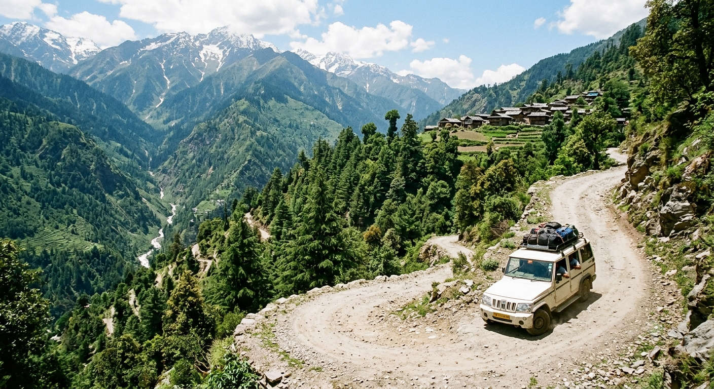
Shoja is about 500 km from Delhi and roughly 107 km from Manali, reached by turning off the main Kullu-Manali highway at Aut and climbing through Banjar and Jibhi. There is no direct train or flight to the village itself, so the last leg is always by road.
| From | Distance | Approx. time | Notes |
| Delhi | About 500 km | 12-14 hr | Overnight via Chandigarh, Mandi and Aut |
| Chandigarh | About 270 km | 7-8 hr | Nearest big city and airport option |
| Manali | About 107 km | 3.5-4 hr | Via the Aut tunnel and Banjar |
| Shimla | About 150 km | 5-6 hr | Via Narkanda and Ani; scenic but slower |
| Bhuntar airport | About 50 km | 2 hr | Nearest airport (Kullu Manali) |
| Aut | About 30 km | 1-1.5 hr | Turn-off from the highway toward Banjar |
| Jibhi | About 5 km | 20 min | Closest base village to Shoja |
Step by step from the plains
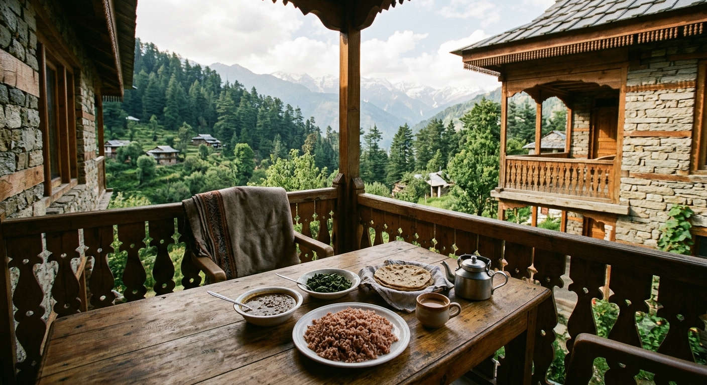
Shoja’s stays are small and personal: family guesthouses, forest-rest-house-style lodges and a few cafes with rooms, rather than big hotels. Long-running names travellers mention include Ghar 1964, Odin Hostels and Cafe, Rustic Cafe, Firgun Cafe and Manzana Woodlet Cottage. If Shoja is full, Jibhi 5 km below has the widest choice of stays in the area.
On the plate, trout is the local speciality, farmed in the Tirthan streams and served fresh in village kitchens. Beyond that, look for Siddu, a steamed stuffed bread eaten with ghee, and Madra, a slow-cooked chickpea dish in a yoghurt gravy. Most guesthouses serve a simple homemade thali of rice, rotis, dal or rajma and a seasonal vegetable, which is the honest, filling food you will eat most nights.
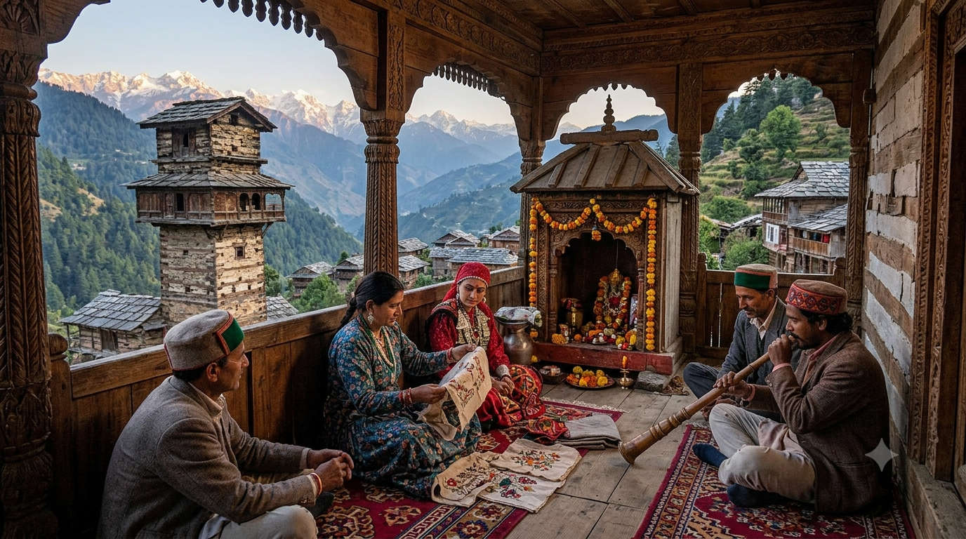
Shoja and the wider Seraj region were long ruled from Mandi, and old stone-and-timber forts and temples still dot the surrounding ridges. Village life here revolves around the local devta, the presiding deity, whose wooden temples and seasonal fairs set the calendar. The Fagli festival, which marks the turn from winter to spring, is one of the more colourful of these. Most people speak Pahari at home and switch easily to Hindi, and increasingly English, with visitors. This lived-in local culture, more than any one sight, is what regulars come back for.
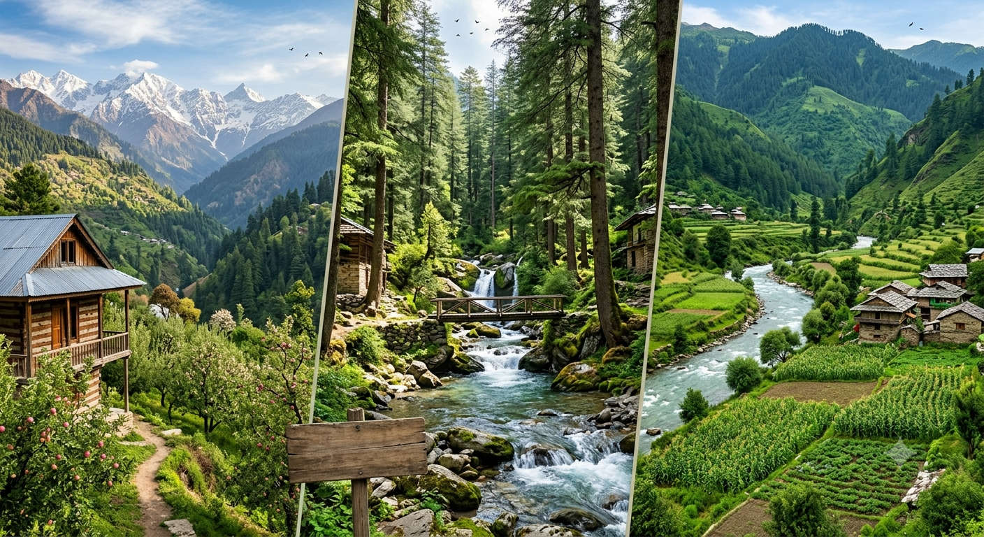
Three names get used almost interchangeably for this pocket of Himachal, but they are different in feel. Here is how to choose your base.
| Shoja | Jibhi | Tirthan Valley | |
| Feel | Quietest, highest, forest | Cafes, waterfalls, popular | Riverside, trout and GHNP |
| Altitude | About 2,700 m | About 1,600 m | About 1,600 m |
| Best for | Snow, Jalori trek, solitude | First-timers, photography | Fishing, nature, families |
| Stay choice | Limited | Widest | Moderate |
Short version: sleep in Shoja if you want silence and easy access to Jalori Pass, in Jibhi if you want cafes and more rooms, and down in Tirthan Valley if fishing and the national park are your priority. If you are planning around the seasons, our Tirthan Valley in March guide shows what early spring looks like across the whole valley.
Shoja works best as a slow two or three day stop: one day for Jalori Pass and Serolsar Lake, another for the forts, waterfalls and villages below, and time left over to do nothing at all. If you would rather have the driving, stays and permits sorted for you, our Tirthan Valley tour packages cover the whole Shoja and Jibhi circuit, and you can browse the wider Himachal tour packages or the Himachal travel guide to build the rest of the route.
Shoja is a small village in the Seraj region of Kullu district, Himachal Pradesh, sitting just below Jalori Pass on the edge of the Great Himalayan National Park. It is about 5 km above Jibhi and roughly 30 km from Aut on the Kullu-Manali highway. शोजा हिमाचल प्रदेश के कुल्लू ज़िले में जलोरी पास के पास स्थित है।
Shoja sits at about 2,700 metres, roughly 8,900 feet. That height is why it stays cool through summer and gets proper snowfall in winter. Jalori Pass, about 5 km further up, is higher still at around 3,120 metres.
Shoja is best known as a quiet forest village below Jalori Pass, and as the base for the Jalori Pass to Serolsar Lake trek. It is also known for winter snow, apple orchards, fresh Tirthan trout, and views across the Great Himalayan National Park. It draws people who want the Himalayas without the Manali crowds.
April to June gives warm, green days that suit first visits and treks. October to November is clearest for mountain views and photography. December to February brings snow, which is the most popular season, though Jalori Pass can close for days at a time. Monsoon (July to September) is lush but carries some landslide risk.
Yes. Shoja gets regular snow from late December through February. Peak-winter days hover around freezing and nights fall several degrees below, so pack serious layers. Heavy snow can close Jalori Pass and slow the road up from Aut, so keep plans flexible and book your stay ahead.
From Delhi it is about a 500 km, 12 to 14 hour drive via Chandigarh, Mandi and Aut. From Manali it is roughly 107 km and 3.5 to 4 hours through the Aut tunnel and Banjar. There is no direct train or flight to Shoja. The nearest airport is Bhuntar, about 50 km away, and the last stretch is always by road.
It depends on what you want. Shoja is higher, quieter and closer to Jalori Pass, so it suits solitude, snow and trekking. Jibhi, about 5 km lower, has more cafes, guesthouses and easy sights, so it suits first-timers and anyone who wants choice. Many travellers stay in one and day-trip to the other.
Jibhi is about 5 km below Shoja, roughly a 20 minute drive. The main Tirthan Valley stretch, around Gushaini and Banjar, is another short drive on from Jibhi, generally under an hour depending on where you stop. All three are usually done as one trip.
Two to three days is the sweet spot. That gives you one full day for the Jalori Pass and Serolsar Lake trek, a second for Raghupur Fort or the waterfalls and Jibhi below, and time to simply slow down. Add a day if you want to fish the Tirthan or go deeper toward the national park.
Carry warm layers year-round, because nights are cold even in summer, and heavy woollens plus a windproof jacket in winter. Bring trekking shoes for the Serolsar and Raghupur trails, sunscreen for the high-altitude sun, a power bank, and some cash, as card and network coverage can be patchy up here.
Trout is the local speciality, farmed fresh in the Tirthan streams and served in village kitchens at fair prices. Try Siddu, a steamed stuffed bread eaten with ghee, and Madra, a yoghurt-based chickpea curry. Most guesthouses serve a homemade thali of rice, roti, dal or rajma and a seasonal vegetable.
Real reviews from real travelers who booked with us.
View All Reviews