6D / 5N
8% OFF
6D / 5N
8% OFF
Romantic Bangkok And Phuket Honeymoon Tour
- Hotel
- Meals
- Sightseeing
- Airport Transfer
- Cruise
₹19,022
₹17,500 /pp



Thailand is not all beaches and 33-degree afternoons. Head into the north and the map tilts upward: pine ridges, terraced tea gardens, and mornings cold enough for a jacket. The country’s hill stations sit mostly in the northern provinces of Chiang Mai, Chiang Rai, Mae Hong Son and Loei, where December temperatures routinely drop into single digits and the valleys fill with a slow sea of cloud. If you are chasing cool weather, mountain sunrises and a slower pace, this is where Thailand delivers. Below are the 12 best hill stations in Thailand for 2026, with the real numbers you need: altitude, the best months, what each one is good for, and how to reach it, including straight from India.
Key Takeaways
mountains in thailand
Best Time
November - February
Select Package Type


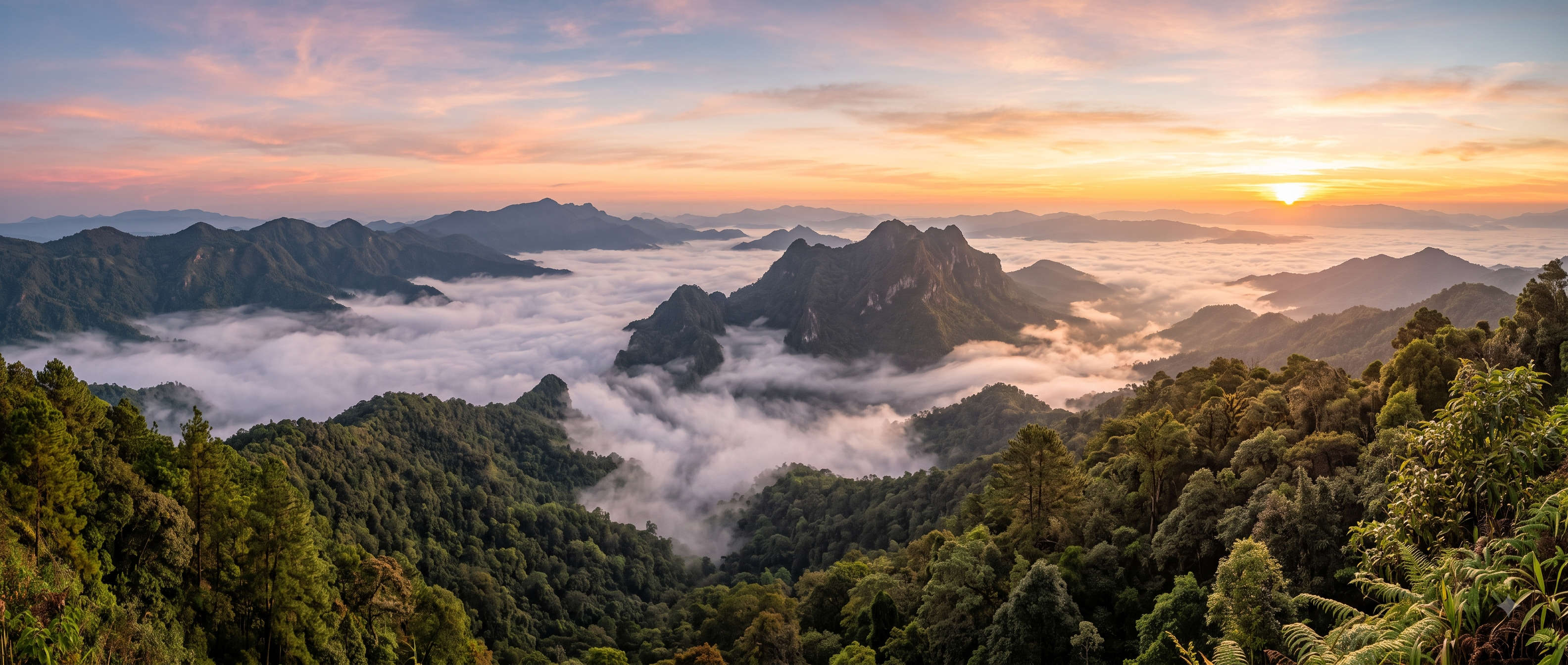
A hill station is a town or upland area, usually 1,000 metres or higher, that people visit to escape the heat of the lowlands. The idea travels well from India, where Shimla, Ooty and Munnar do exactly this job. Thailand’s version sits in the northern highlands, where elevation and forest cover pull the temperature down by 8 to 12 degrees compared with Bangkok.
Is Chiang Mai a hill station? Not in the strict altitude sense. The old city sits at about 310 metres, so the city centre itself stays warm. But Chiang Mai is the gateway and base for Thailand’s real hill country: Doi Suthep rises to 1,676 metres right behind the city, and the genuine cool-weather peaks of Doi Inthanon, Doi Ang Khang and Doi Chiang Dao are all day trips away. Most travellers treat Chiang Mai as their hill-station hub rather than the destination itself.
Here is the whole list in one view. Altitudes are the headline peak or plateau height; best months assume you want cool, dry, clear weather.
| Hill Station | Province / Base | Altitude | Best for | Best time |
| Chiang Mai | Chiang Mai | ~310 m (base) | Hub, temples, food, day trips | Nov-Feb |
| Doi Inthanon | Chiang Mai | 2,565 m | Highest point, waterfalls, twin pagodas | Nov-Feb |
| Pai | Mae Hong Son | ~500 m valley | Slow days, canyon, hot springs | Nov-Feb |
| Chiang Rai | Chiang Rai | ~580 m | White & Blue temples, cool nights | Nov-Feb |
| Mae Salong | Chiang Rai | ~1,200 m | Tea terraces, Yunnanese food, sakura | Dec-Feb |
| Doi Ang Khang | Chiang Mai | ~1,400 m | Royal gardens, cherry blossom, cold | Dec-Jan |
| Phu Kradueng | Loei | 1,316 m plateau | Multi-day trek, wild plateau | Oct-May |
| Khao Kho | Phetchabun | ~1,100 m | Sea of mist, easy drive from Bangkok | Nov-Feb |
| Doi Tung | Chiang Rai | ~1,300 m | Royal villa, Mae Fah Luang garden | Nov-Feb |
| Phu Chi Fa | Chiang Rai | 1,628 m | Sea-of-clouds sunrise cliff | Dec-Feb |
| Kanchanaburi | Kanchanaburi | hills to ~1,300 m | Waterfalls, River Kwai, west-Thailand nature | Nov-Feb |
| Doi Chiang Dao | Chiang Mai | 2,225 m | Serious hiking, biosphere reserve | Nov-Mar |
Each entry below has a short facts table for planning, then what it is actually like on the ground. Entry fees are the posted national-park rates in Thai baht (THB), with an approximate rupee figure; carry cash for the gate counters.
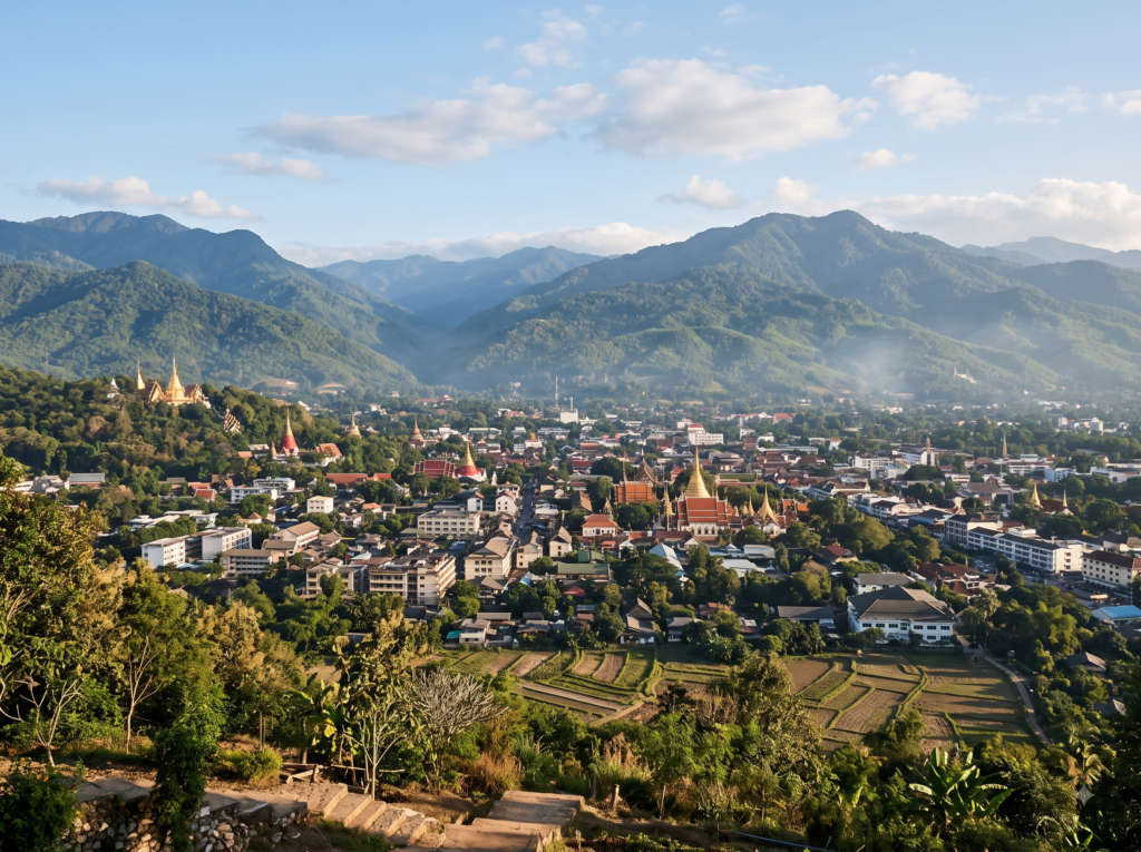
Chiang Mai is where a northern trip begins. The city itself stays warm, but it puts every serious peak in this guide within a two to three hour drive, and it has the airport, the car-hire desks and the guesthouses to make that easy. Spend a day on temples and khao soi, then use it as a launch pad.
Ride the road up Doi Suthep for the golden Wat Phra That and a view over the whole valley, and time your visit for the Sunday walking street if you can. For the full city guide and package options, see our Thailand tourism guide.
| Base for | Doi Inthanon, Doi Ang Khang, Chiang Dao, Pai |
| Altitude | ~310 m city; Doi Suthep behind it at 1,676 m |
| Getting there | Direct flights from Bangkok (~1h20); no. of daily flights is high |
| Best time | November to February |


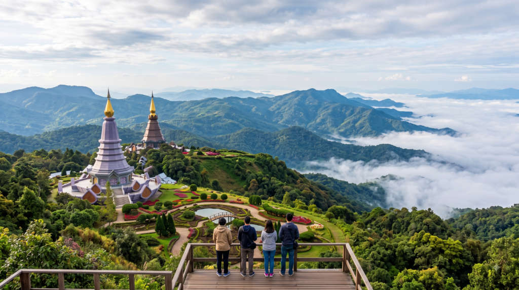
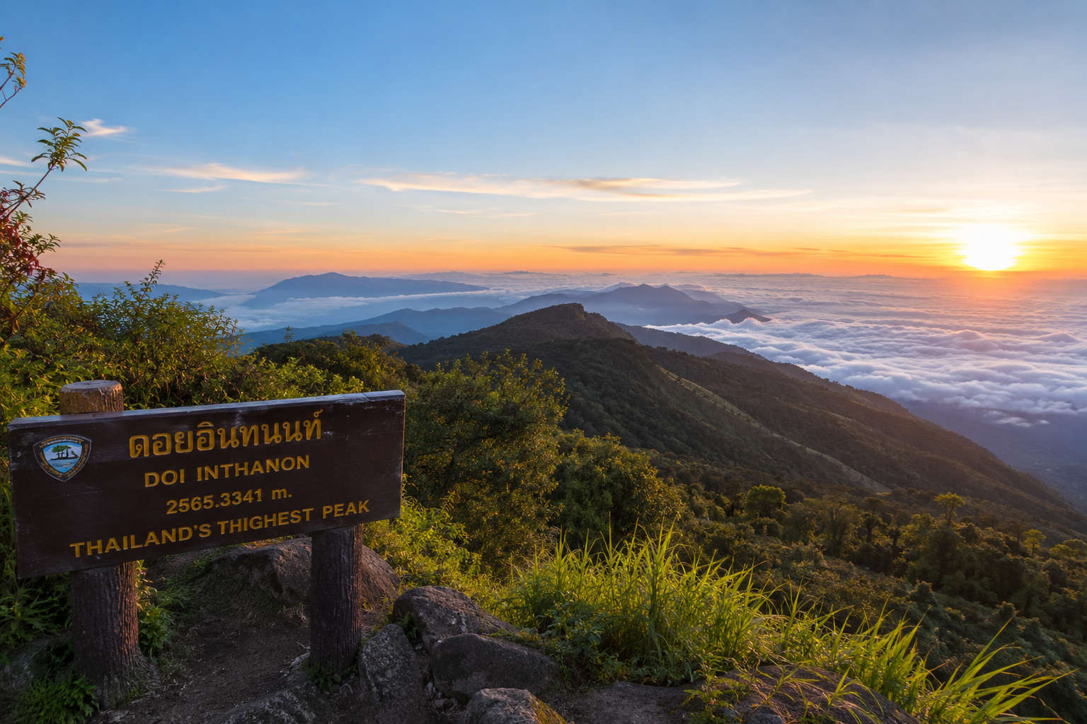
If you see one, see this one. Doi Inthanon National Park runs from about 800 metres at the gate up to the 2,565-metre summit, and the temperature falls the whole way. At the top the air hovers near freezing on winter mornings, mossy cloud forest drips overhead, and the two royal pagodas, Naphamethinidon and Naphaphonphumisiri, look out over cloud.
Walk the short Ang Ka boardwalk through the sphagnum bog at the summit, then drop down to Wachirathan waterfall and the terraced rice of the Karen and Hmong villages. The Kew Mae Pan nature trail is open only in the cool season (it closes roughly June to October for regrowth), so plan for November to February. The park gate opens early, around 5:30 am, which is exactly when you want to be there for sunrise.
| Province | Chiang Mai (Jom Thong district) |
| Altitude | 2,565 m, the highest point in Thailand |
| Entry fee | 300 THB adult / 150 THB child (foreigner rate, ~₹720 / ₹360) |
| From Chiang Mai | ~120 km, about 2.5 hours by car |



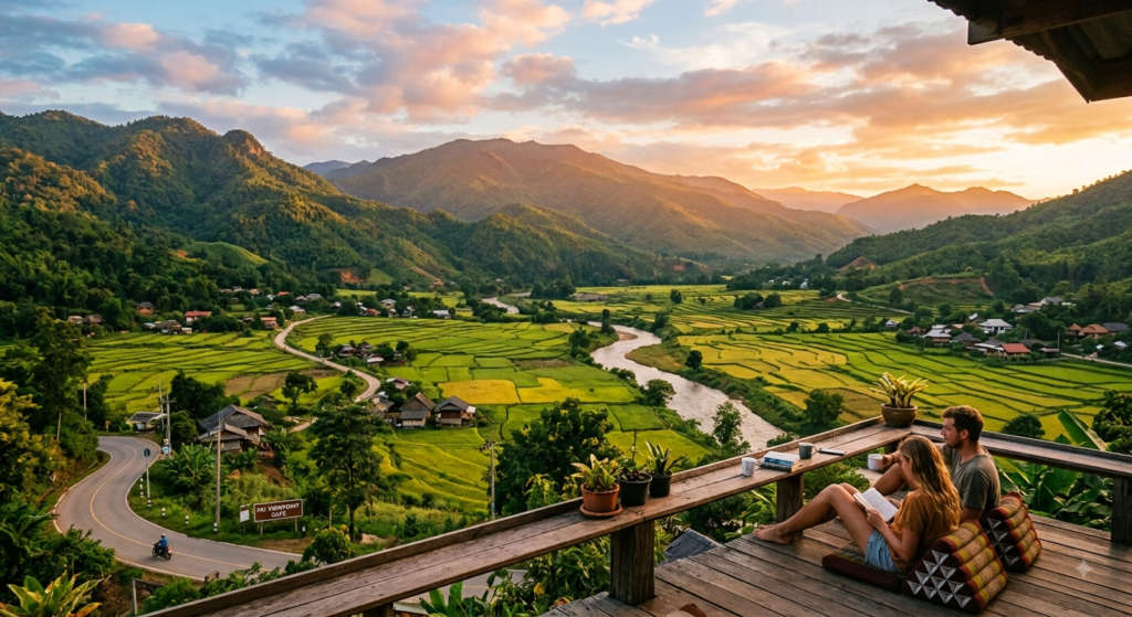
Pai is less about altitude and more about pace. The drive in is famous: 762 marked bends over the hills, so take the motion-sickness tablets and enjoy the ridgelines. The valley sits cool and misty in the mornings, warms by lunch, and empties out into rice fields and hot springs.
Watch the sunset from the crumbling ridges of Pai Canyon, soak in the Tha Pai hot springs, and cross the wooden Boonko Ku So bamboo bridge over the paddy. It is the softest landing on this list, which is why travellers who plan two nights usually end up staying four.
| Province | Mae Hong Son |
| Altitude | ~500 m valley, ringed by higher hills |
| From Chiang Mai | ~135 km on Route 1095, about 3 hours and 762 curves |
| Best for | Slow mornings, canyon sunsets, hot springs |
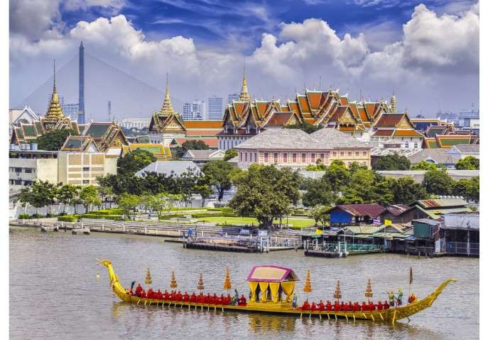
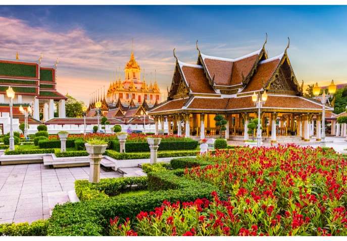

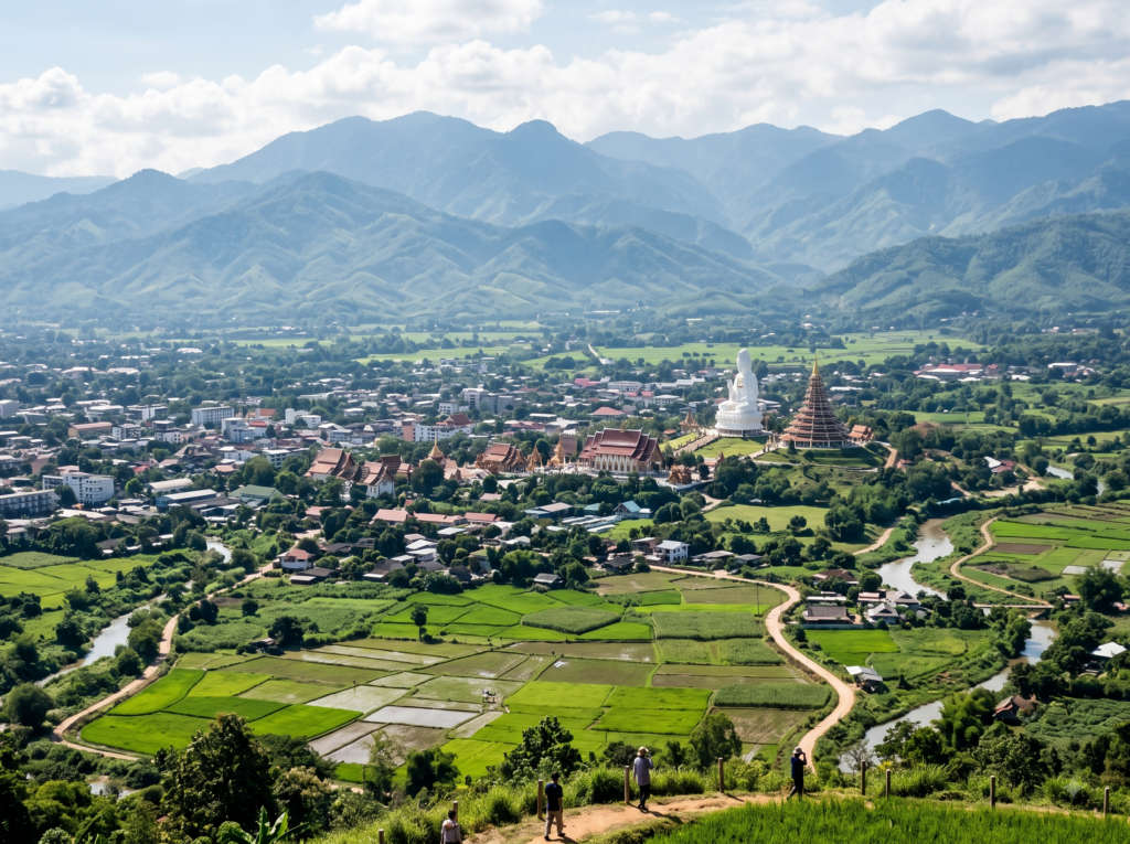
Thailand’s northernmost city sits higher and cooler than Chiang Mai, and it is the jumping-off point for Mae Salong, Doi Tung and Phu Chi Fa. In town, the mirror-white Wat Rong Khun (the White Temple) and the cobalt Wat Rong Suea Ten (the Blue Temple) are two of the most photographed buildings in the country.
Nights here are genuinely chilly from December to February. Use Chiang Rai as your northern base, the way you use Chiang Mai for the western peaks, and you can reach three more hill stations on this list without doubling back.
| Province | Chiang Rai |
| Altitude | ~580 m city, higher in the surrounding hills |
| From Chiang Mai | ~190 km, about 3 to 3.5 hours by road |
| Don't miss | White Temple, Blue Temple, night bazaar |
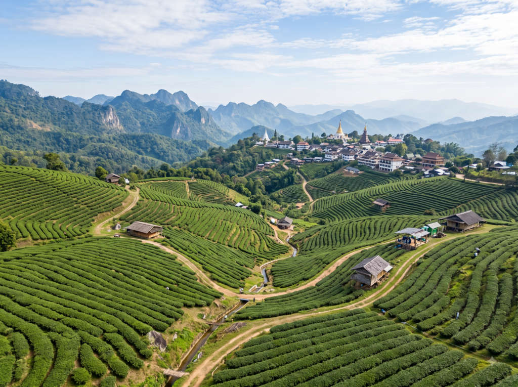
Mae Salong is unlike anywhere else in Thailand. It was settled by former Chinese Nationalist (KMT) soldiers in the 1960s, and the hillside village still speaks Yunnanese, runs tea houses, and serves steamed buns and braised pork noodles instead of pad thai. The slopes are covered in oolong terraces you can walk through and taste your way across.
Come in late December or January and the wild Himalayan cherry trees, Thailand’s own sakura, turn the ridges pink. Mornings are cold and quiet; this is a place to stay overnight rather than rush through on a day trip.
| Province | Chiang Rai (Doi Mae Salong / Santikhiri) |
| Altitude | ~1,200 m |
| Best for | Oolong tea, Yunnanese food, cherry blossom |
| Best time | December to February (blossom season) |
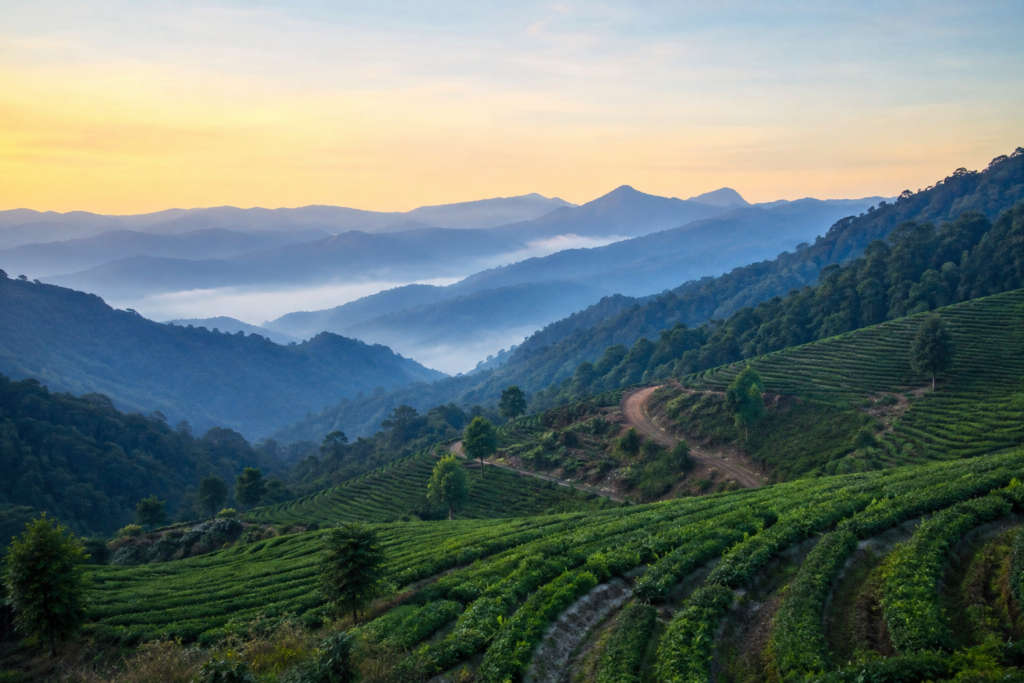
Doi Ang Khang is where Thais go to feel cold. The Royal Agricultural Station covers the plateau in strawberry beds, temperate flower gardens and neat rows of vegetables that would look at home in Europe, all grown as part of a project to replace opium farming. On a January dawn the frost actually forms.
Base yourself for a night to catch the sunrise sea of cloud from the viewpoints, walk the flower gardens, and visit the nearby hill-tribe villages. Pack a proper jacket; the overnight lows here are the coldest most visitors to Thailand will ever feel.
| Province | Chiang Mai (Fang district) |
| Altitude | ~1,400 m |
| Temperature | 17-21°C average; can drop near 0°C in January |
| From Chiang Mai | ~160 km, about 3 to 3.5 hours |
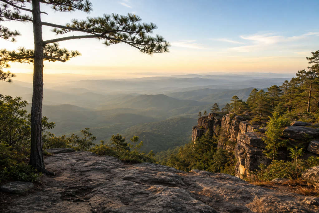
Phu Kradueng is a bell-shaped mountain with a flat top the size of a small town, and the only way up is on foot. The climb runs about 5.5 kilometres and takes most people three to four hours, with porters available to haul your pack for a per-kilo fee. The reward is a wild plateau of pine and grassland with its own trails, waterfalls and cliff-edge viewpoints.
The park closes during the rainy months and reopens around October, so aim for the cool season. Camp or take a plateau cabin and walk out to Nok Aen cliff for sunrise. This is a trek, not a drive-up viewpoint, and it is the most rewarding hard day on this list.
| Province | Loei |
| Altitude | 1,316 m plateau |
| Access | ~5.5 km marked hiking trail up (porters carry bags) |
| Open | October to end of May (closed in the rains) |
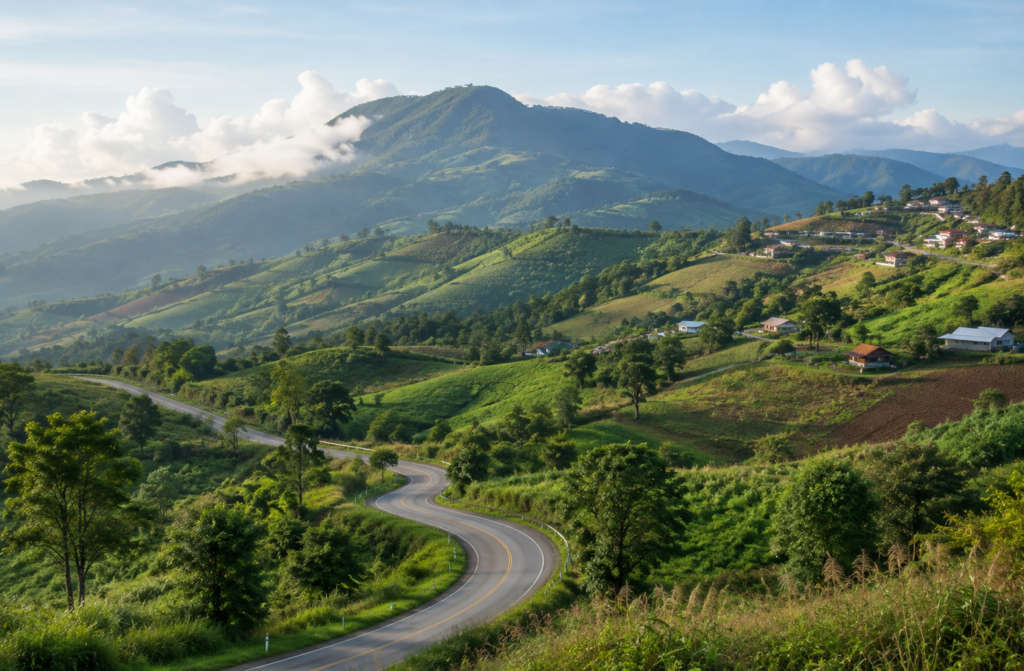
Khao Kho is the hill station central Thailand reaches on a long weekend. It is the closest thing on this list to Bangkok, and its ridgetop resorts are built to catch the morning thale mok, the sea of mist that pools in the valleys below. Rolling roads, flower farms and windmill viewpoints give it a soft, resort-country feel.
This is the answer to the common question of which hill station is nearest Bangkok. It is far gentler than Phu Kradueng and easy to combine with the historic Phetchabun countryside. Go on a clear cool-season morning for the mist and stay for the sunset.
| Province | Phetchabun |
| Altitude | ~1,100 m |
| From Bangkok | ~350 km, about 5 to 6 hours by road |
| Best for | Sea of mist, weekend drive, resorts |
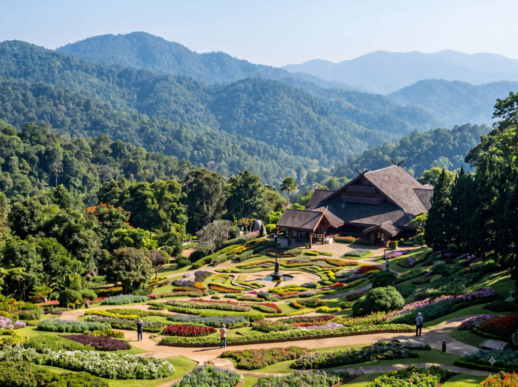
Doi Tung pairs cool mountain air with one of the north’s prettiest planned gardens. The Mae Fah Luang Garden blankets the hillside in temperate flowers, and the Royal Villa beside it was the mountain home of the King’s mother, built in a Swiss-Lanna style that suits the climate. Like Doi Ang Khang, this land was reclaimed from opium poppies through a royal development project.
It is an easy half-day from Chiang Rai and works well combined with Mae Salong. Walk the gardens, tour the villa, and buy the local Doi Tung coffee grown on the same slopes.
| Province | Chiang Rai |
| Altitude | ~1,300 m |
| Don't miss | Royal Villa, Mae Fah Luang Garden |
| From Chiang Rai | ~60 km, about 1.5 hours |
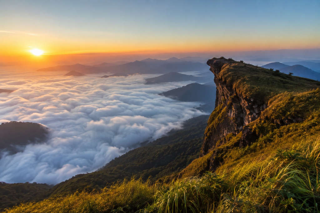
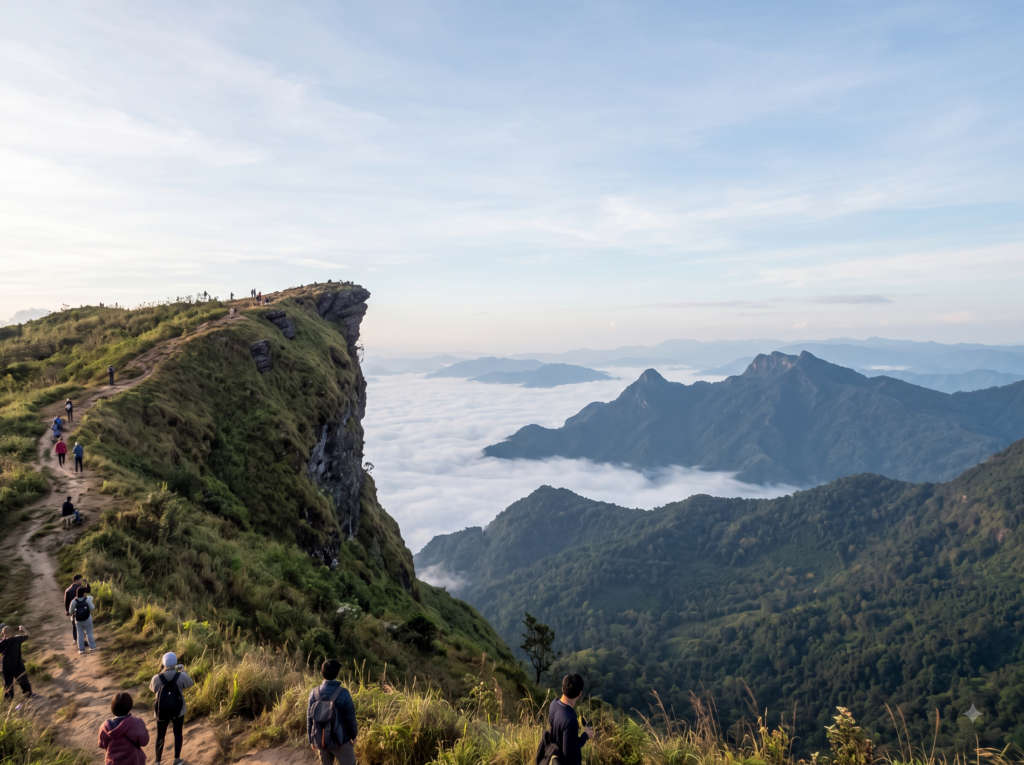
Phu Chi Fa exists for one moment: sunrise. The cliff juts out over the Mekong lowlands toward Laos, and on cool-season mornings the valley below fills with cloud while the sun comes up gold behind it. You hike about 15 to 20 minutes from the car park in the dark to reach the viewpoint, so bring a torch and a warm layer.
The window is short and the crowd is real on peak weekends, so arrive before first light and pick a spot. It is a long way north, best folded into a Chiang Rai and Mae Salong loop rather than visited alone.
| Province | Chiang Rai |
| Altitude | 1,628 m |
| Best for | Sunrise over a sea of cloud |
| Best Time | December to February |
Kanchanaburi is not a cold-weather peak, but it is the west’s great hill-and-water escape and it earns its place for anyone based near Bangkok. The seven-tier Erawan Falls step up through the forest into pools you can swim in, and the national parks of Sai Yok and Erawan cover hills that climb well past 1,000 metres.
Add the sobering history of the River Kwai bridge and the Death Railway, and you have a two-day trip that mixes nature and memory. It is the easiest green escape from the capital and a good shoulder-season choice when the far north is booked out.
| Province | Kanchanaburi |
| Altitude | town low; national-park hills to ~1,300 m |
| From Bangkok | ~130 km, about 2.5 hours |
| Don't miss | Erawan Falls, River Kwai, Sai Yok |
Doi Luang Chiang Dao is the one on this list most guides skip, and that is exactly why we keep it. The limestone massif rises straight out of the plain to 2,225 metres, protected as a wildlife sanctuary and a UNESCO Biosphere Reserve, with rare sub-alpine grassland near the top. Reaching the summit is a regulated overnight trek: you need a permit, a licensed guide and a porter, and access is capped, so book well ahead.
Time it for the cool, dry window of November to March. Camp near the summit for a sunrise above the cloud, then descend past the caves and the quiet temple at the mountain’s foot. This is the connoisseur’s hill station, and most competitor lists never mention it.
| Province | Chiang Mai |
| Altitude | 2,225 m, Thailand's third-highest peak |
| Status | UNESCO Biosphere Reserve; permits and guides required |
| From Chiang Mai | ~72 km north, about 1.5 hours |
 If it is raw altitude you are after rather than a cool-weather town, these three peaks belong on the mountains-in-Thailand shortlist. They are wilder and less developed than the hill stations above, better suited to trekkers and campers than to a relaxed family weekend.
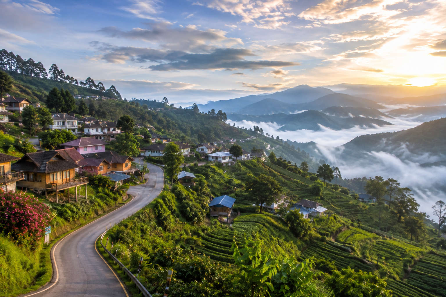 The cool, dry season from November to February is the clear winner. Days are mild, skies are clear, and the mornings are cold enough for the sea-of-clouds effect that makes places like Phu Chi Fa and Doi Ang Khang worth the early alarm. December and January are the coldest, when the far-north peaks can touch freezing overnight and the wild cherry blossom colours the slopes at Mae Salong and Doi Ang Khang.
March to May is the hot and hazy season, when farmers burn fields across the north and the air quality drops; skip it if you can. June to October is the green rainy season, when the waterfalls are at full flow but trails get slippery and Phu Kradueng and parts of Doi Inthanon close. For most travellers, aim squarely at the December to January core.
 Almost everything on this list runs off two airports. Fly into Chiang Mai (CNX) for Doi Inthanon, Doi Ang Khang, Chiang Dao, Pai and the western peaks, and into Chiang Rai (CEI) for Mae Salong, Doi Tung and Phu Chi Fa. Both connect to Bangkok in about 80 minutes with frequent daily flights. Khao Kho and Kanchanaburi are road trips out of Bangkok instead, at roughly 5 to 6 and 2.5 hours respectively.
Once north, you have three ways up the hills. Self-drive a rental car for freedom on the mountain roads, hire a car with driver for the steeper climbs like Doi Ang Khang and Doi Inthanon, or take the local songthaew shared trucks that run to the main parks from Chiang Mai’s Chang Phuak station. For Phu Kradueng and Doi Chiang Dao you go on foot, with porters and guides arranged at the trailhead.
For a planned, sorted-out version of all of this, our Thailand tour packages bundle the flights, northern transfers and hill-station stays into one booking, which is the simpler route if you would rather not chase songthaews at dawn.
Thailand is one of the easiest international cool-weather trips an Indian traveller can make. As of 2026, Indian passport holders enter visa-free for up to 30 days: there is no visa fee and no application to fill in. The one required step is the Thailand Digital Arrival Card (TDAC), a free online form you complete before you fly. That is it, no stamp fee, no agent.
Flights run daily to Bangkok from Delhi, Mumbai, Kolkata, Bengaluru and Chennai, taking roughly 4 to 4.5 hours, then a short domestic hop north. Pack for real cold in the mornings, which surprises most first-timers: a warm jacket, closed shoes and a beanie for December sunrises, plus light layers for the warm afternoons. Carry Thai baht in cash for the park gates and songthaews, as many upland counters do not take cards.
On budget, a 5 to 7 night northern Thailand trip through TravelTriangle typically runs from about ₹16,000 to ₹40,000 per person depending on hotels and season, excluding international flights. Packages are fully customisable, so you can weight the itinerary toward the peaks you care about.
A simple order of operations that works for a first northern-Thailand trip:
Thailand’s north is the country’s best-kept secret for travellers who want cool air, mountain sunrises and a slower pace. Start with Doi Inthanon and Chiang Mai, add Pai or Mae Salong for character, and time it for the December cool. When you are ready to turn this list into a real itinerary, our Thailand tour packages handle the flights, northern transfers and hill-station stays, and every trip is customisable to the peaks you most want to see.
Not strictly. Chiang Mai city sits at about 310 metres, so the centre stays warm. But it is Thailand's main hill-station base: Doi Suthep rises to 1,676 metres right behind the city, and the true cool-weather peaks of Doi Inthanon, Doi Ang Khang and Doi Chiang Dao are all day trips away. Most travellers use Chiang Mai as their hub for the northern highlands rather than as the cool destination itself.
For a first trip, Doi Inthanon is the one to see. At 2,565 metres it is the highest point in the country, with cloud forest, twin royal pagodas and waterfalls, all reachable in a day from Chiang Mai. For atmosphere and something different, Mae Salong's tea villages and Pai's laid-back valley are the favourites among repeat visitors.
Yes, colder than most people expect. In the cool season from November to February, the northern peaks drop into single digits at night, and Doi Ang Khang and Doi Inthanon can touch freezing on December and January mornings, occasionally with frost. Days stay mild and pleasant, but pack a real jacket for sunrises.
The summit of Doi Inthanon is the coldest accessible spot, sitting near or below freezing on winter mornings at 2,565 metres. For a place you can stay overnight, Doi Ang Khang in Chiang Mai and the Phu Kradueng plateau in Loei are among the coldest, with January lows close to zero.
November to February, the cool and dry season. December and January are the coldest and clearest, best for sea-of-clouds mornings and the wild cherry blossom at Mae Salong and Doi Ang Khang. Avoid March to May, when field-burning haze settles over the north, and note that Phu Kradueng and some Doi Inthanon trails close during the June to October rains.
Khao Kho in Phetchabun, about 5 to 6 hours by road, is the closest true cool-weather hill station and a popular long-weekend escape for its sea of mist. Kanchanaburi, only about 2.5 hours west, is the nearest hill-and-waterfall nature escape, though it is lower and warmer than the northern peaks.
No. From 2026 Indian passport holders can enter Thailand visa-free for up to 30 days, with no visa fee and no application. The only requirement is the free online Thailand Digital Arrival Card (TDAC), which you complete before departure. Confirm the current rule before you fly, as arrival policies can change.
A 5 to 7 night northern Thailand trip through TravelTriangle typically starts from around ₹16,000 to ₹40,000 per person, excluding international flights, depending on hotel category and season. On the ground, national-park entry is usually 100 to 300 THB, and you will want cash for gate counters and songthaews. Packages are customisable to your budget.
Doi Inthanon is about 120 km southwest of Chiang Mai, roughly 2.5 hours by car. Self-drive or hire a car with driver for the mountain road, or take a minibus from Chiang Mai to Jom Thong and a shared songthaew up to the summit area. Start before dawn if you want to catch sunrise from the top.
Yes. Doi Inthanon, Doi Ang Khang, Khao Kho and Pai are all family-friendly, with drive-up viewpoints, gentle gardens, waterfalls and warm afternoons. Phu Kradueng and Doi Chiang Dao involve long treks and suit older children and adults. The cool season is the most comfortable time to travel with kids.
The best sea-of-clouds viewpoints are Phu Chi Fa and Doi Pha Hom Pok in the far north, the Doi Ang Khang viewpoints, and the Phu Kradueng plateau, all on cool-season mornings from December to February. Arrive before sunrise and expect cold, still air; the cloud usually burns off within an hour or two of first light.
A warm jacket and a beanie for the cold December and January mornings, closed walking shoes, a torch for pre-dawn viewpoints, and light layers for the mild afternoons. Carry Thai baht in cash for park gates and shared trucks, plus sunscreen and a refillable water bottle for the daytime trails.
Real reviews from real travelers who booked with us.
View All Reviews